Cát Bà, Hải Phòng · Nature
Lan Ha Bay
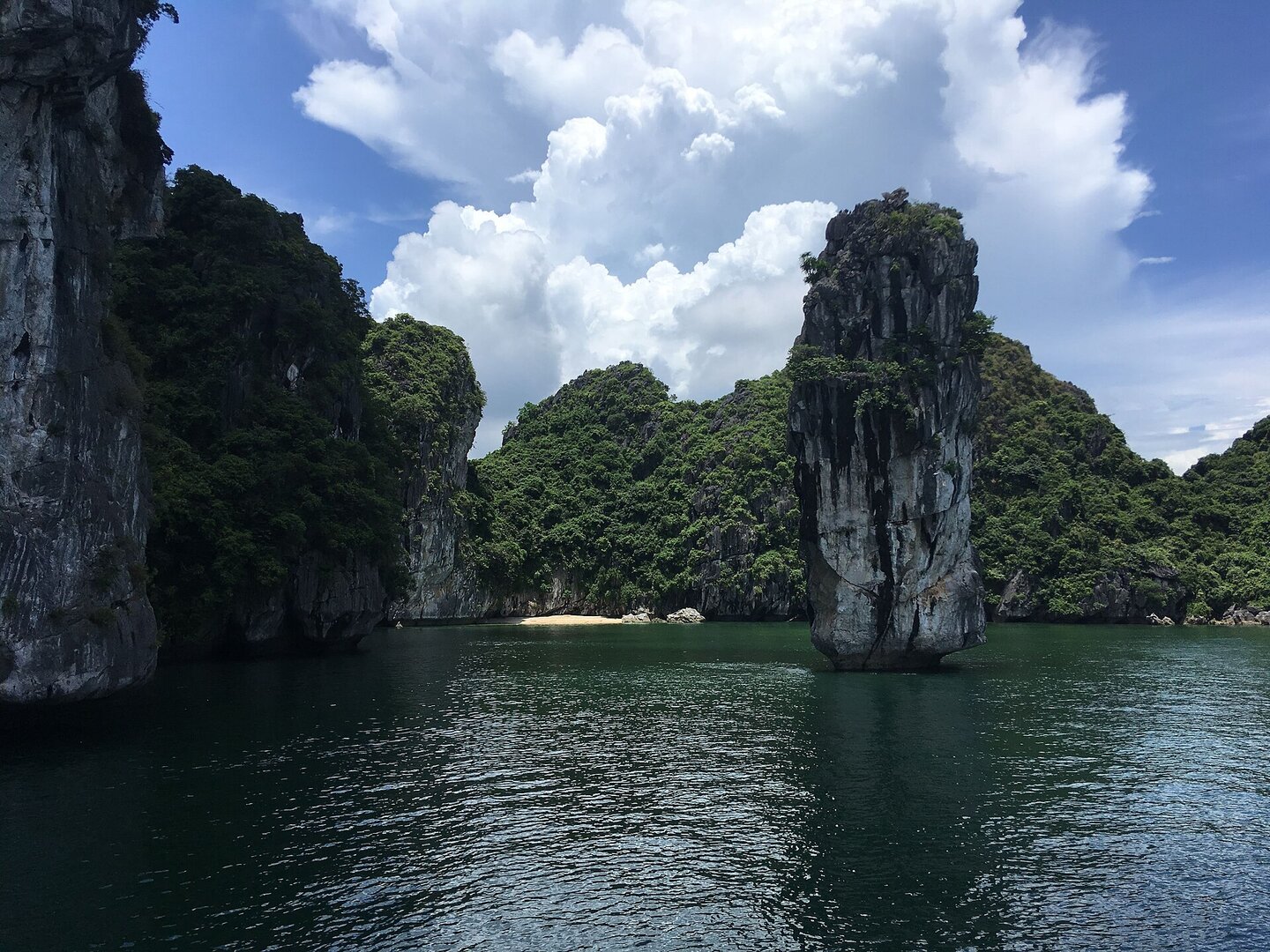
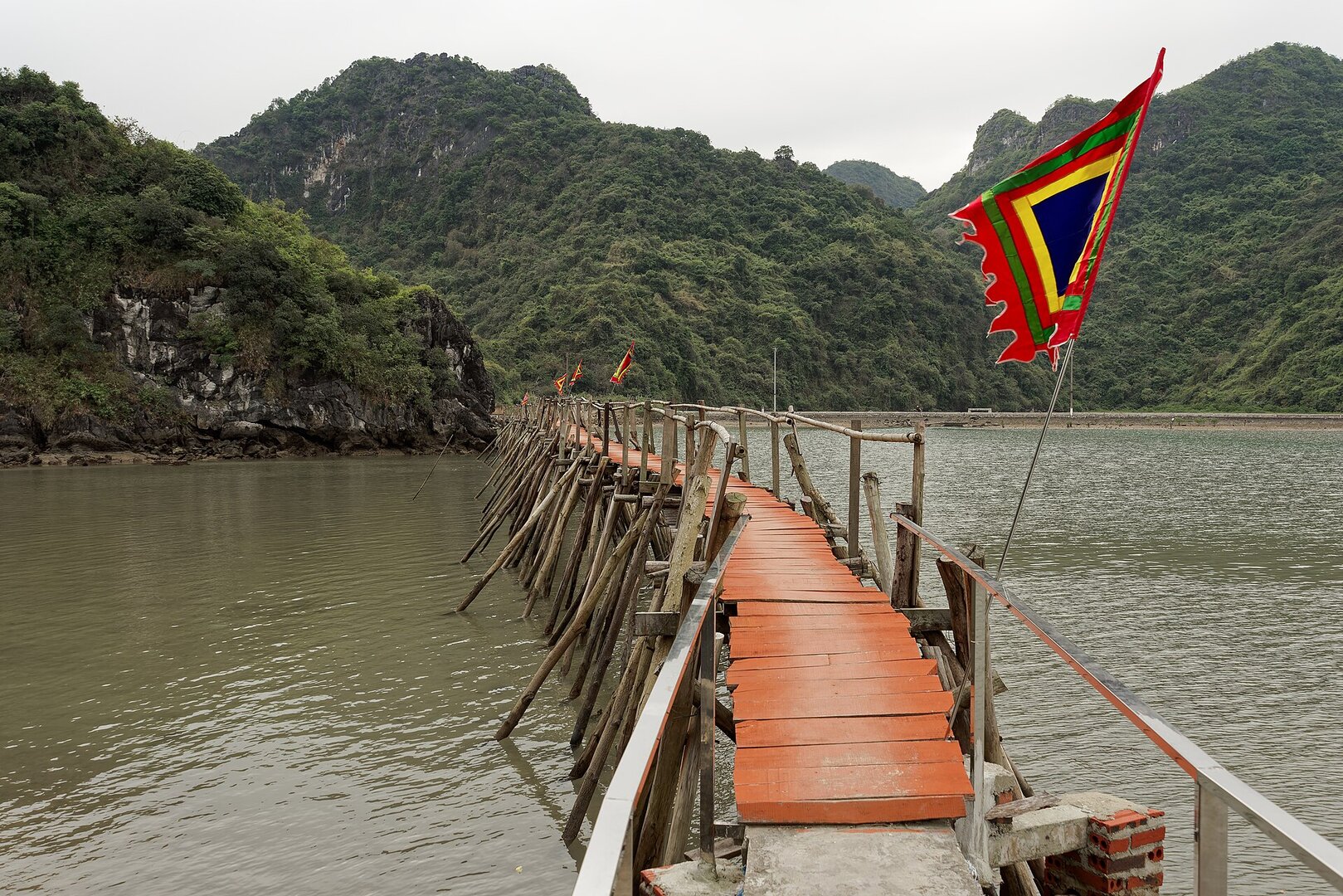
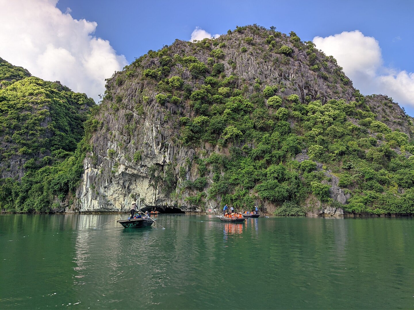
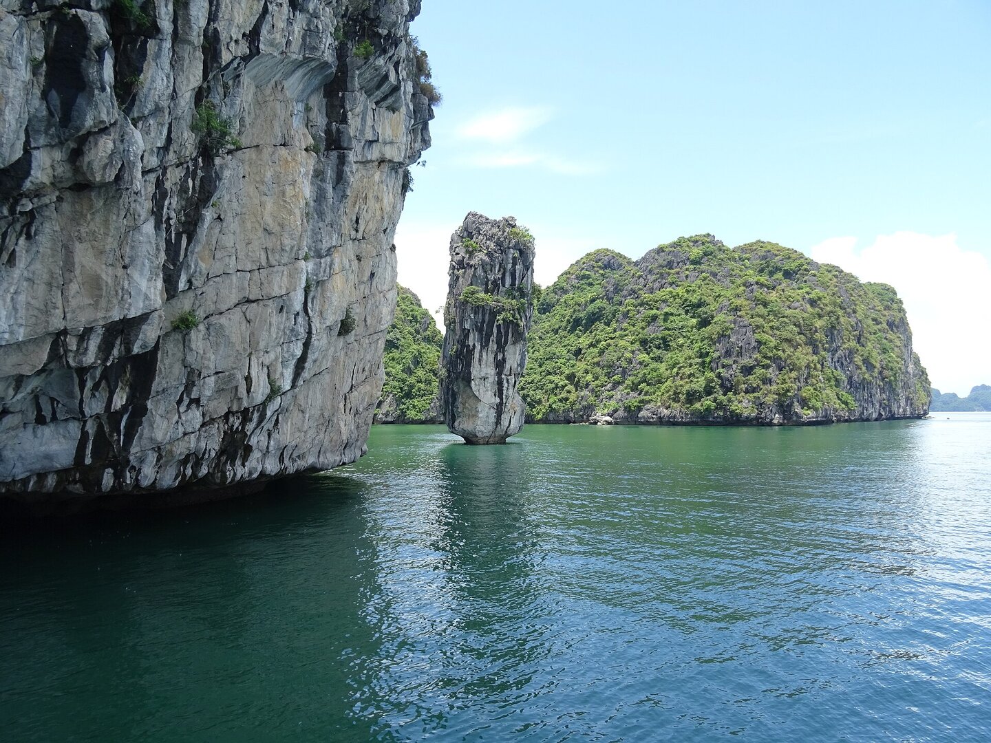
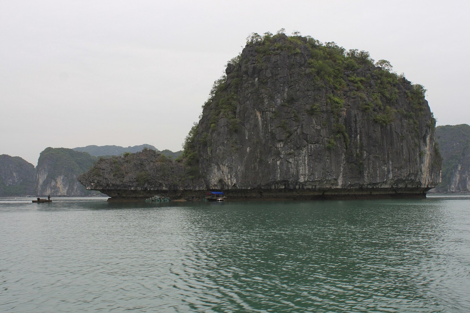
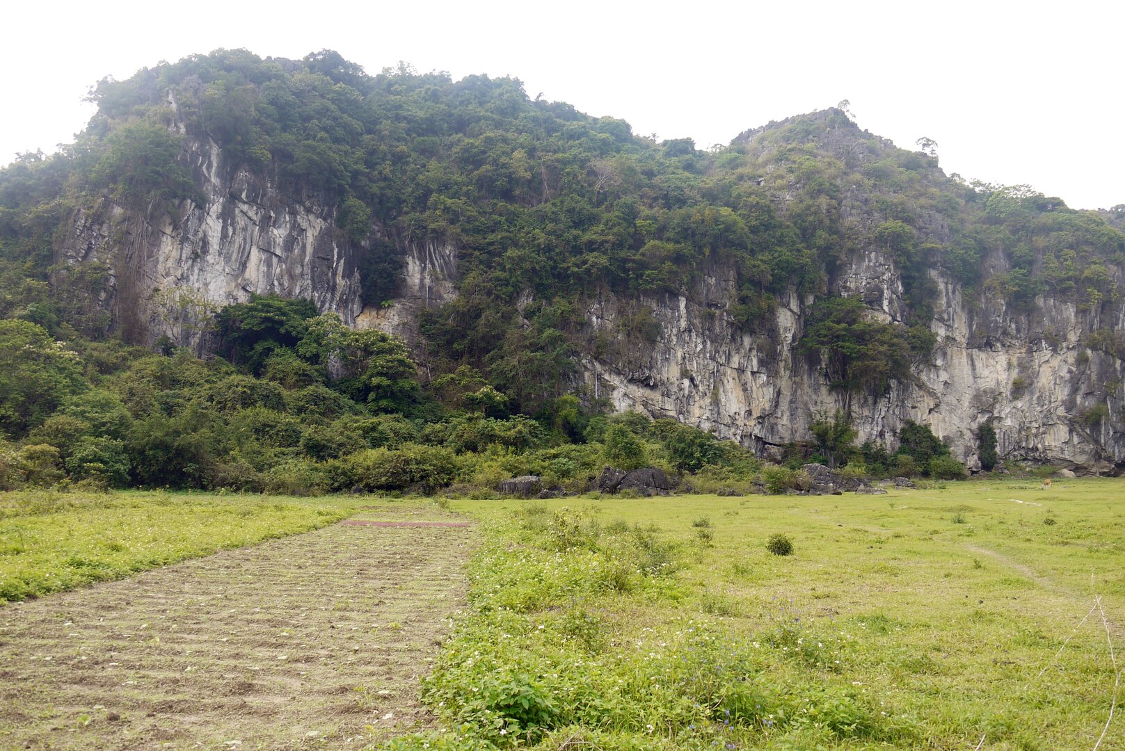
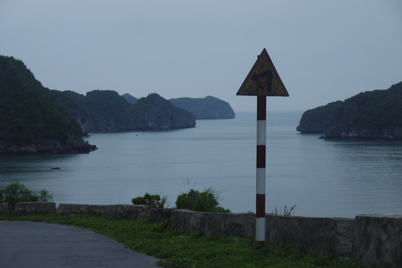
Lan Hạ Bay lies on the east of Cát Bà island, within the marine part of Cát Bà National Park, and belongs to the Hạ Long Bay – Cát Bà Archipelago world natural heritage site. Visitors go out into the bay by sightseeing boat from Bèo pier, passing among hundreds of limestone islands with sheer cliffs and small sheltered sandy beaches.
01What people come for
Visitors take a boat to see the islands, stop at Sáng Tối cave (a cave running through the mountain at water level, usually entered by small rowing boat), swim at the small sandy beaches, snorkel to see the corals around Vạn Bội island, and spend the night on a cruise boat in the middle of the bay. On the shore of the bay at Cái Bèo is the archaeological site of a prehistoric seaside fishing village 4,000–7,000 years old, ranked a national monument in 2009.
Getting there and around
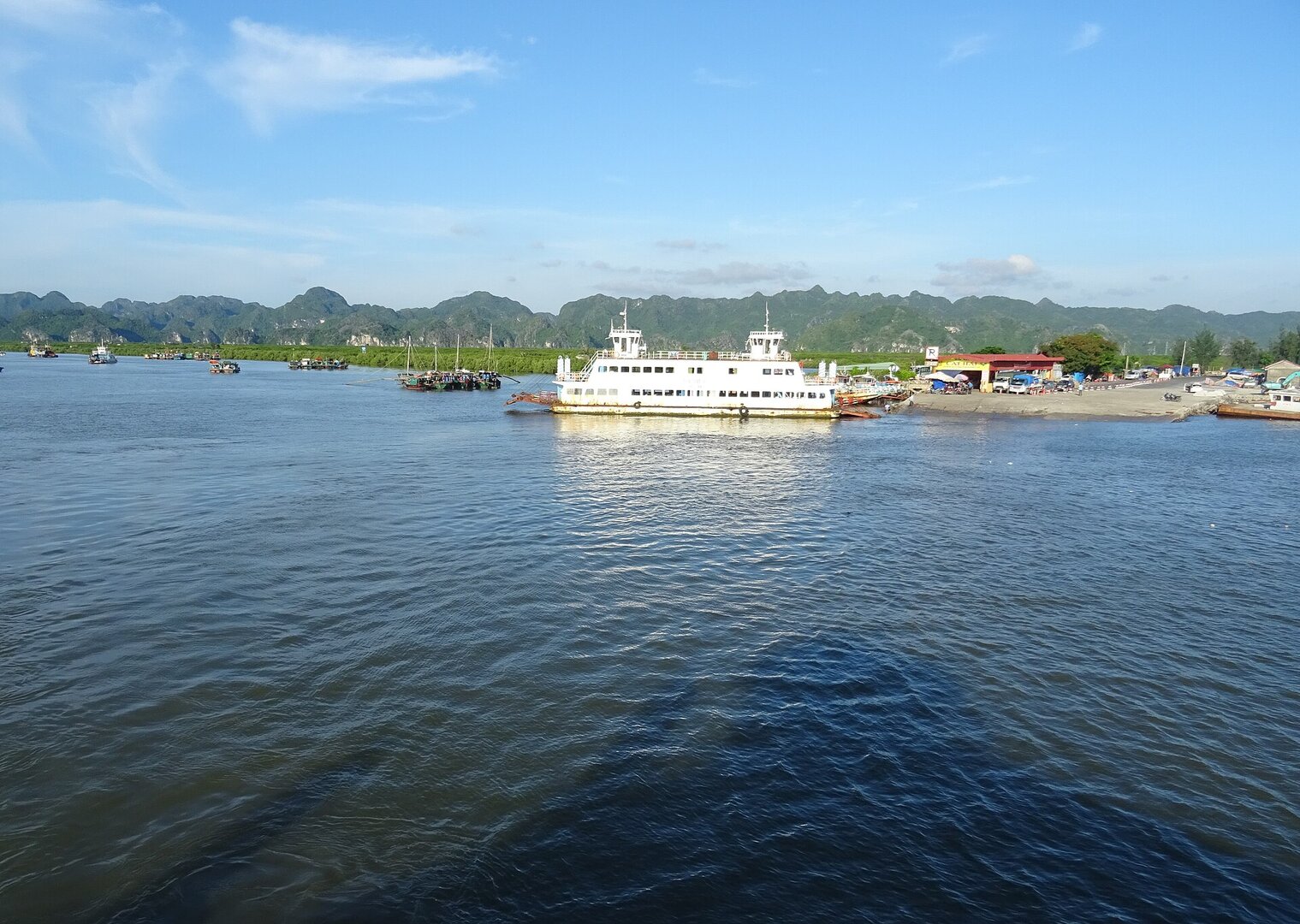
You must first get to Cát Bà island, then buy a boat ticket at Bến Bèo pier near Cát Bà town. On the bay you can only travel by boat, and boats run on set routes, for example Bến Bèo – Monkey Island – Sáng Tối cave. You must buy a ticket to visit the bay and pay for the boat; you can take a per-trip ticket or charter a private boat for a group.
Jakub Hałun · CC BY 4.0 · source
Before you go
Visitors must wear a properly fitted life jacket for the whole time on the boat, and swim only at the permitted beaches. In Hải Phòng storms usually come from June to September; when there is a storm, sightseeing boats on the bays are stopped. November to April of the following year is the cold, dry northeast monsoon season, not a season for swimming in the sea (Vietnam Maritime Search and Rescue Coordination Centre). Kayaking in the bays of the Cát Bà archipelago was suspended from 15 Nov 2024 and no document allowing it to resume has been seen, so ask the boat operator before you go. On Monkey Island (đảo Khỉ), hold on tight to your belongings and do not feed the monkeys.
What this place is
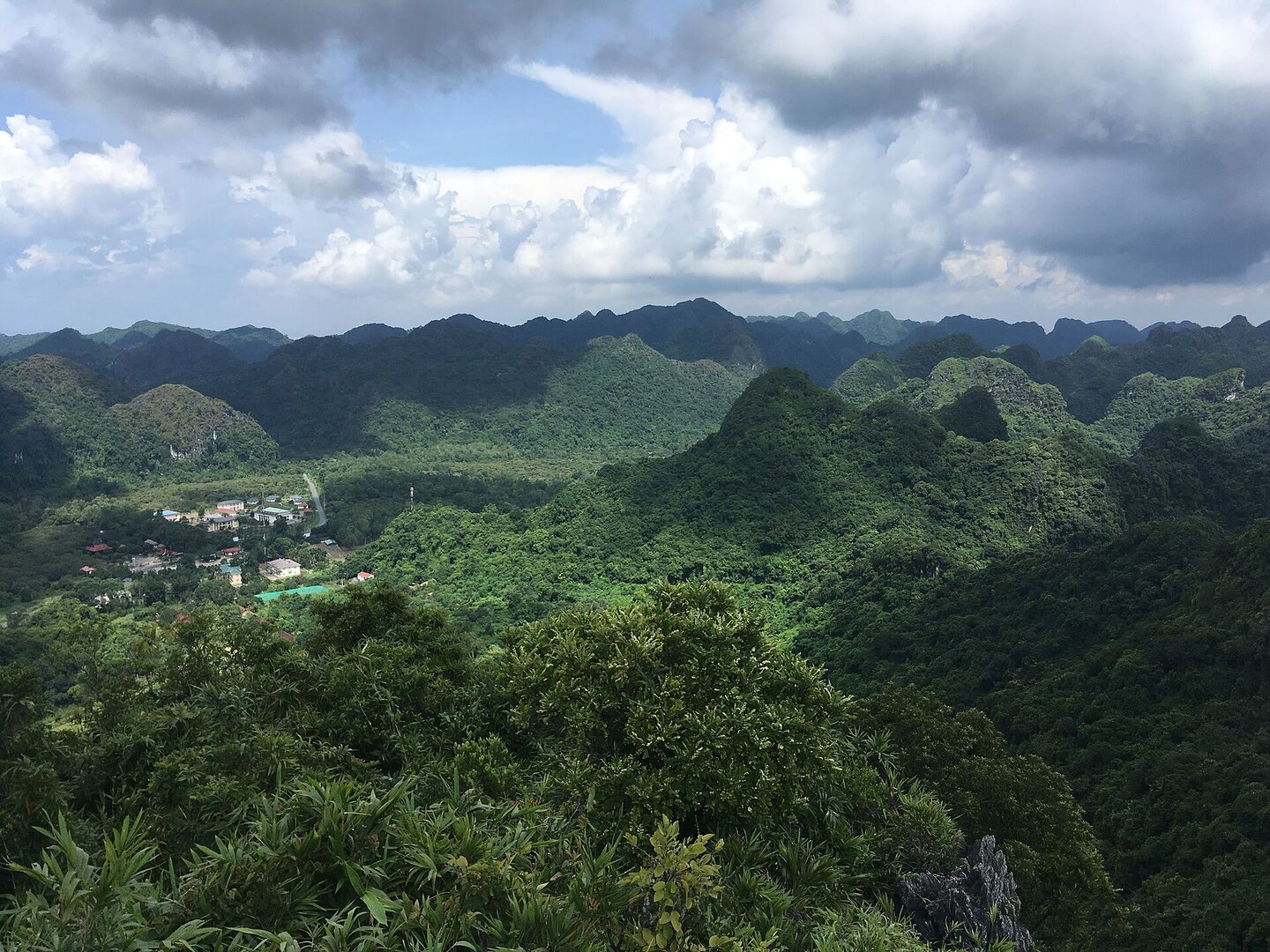
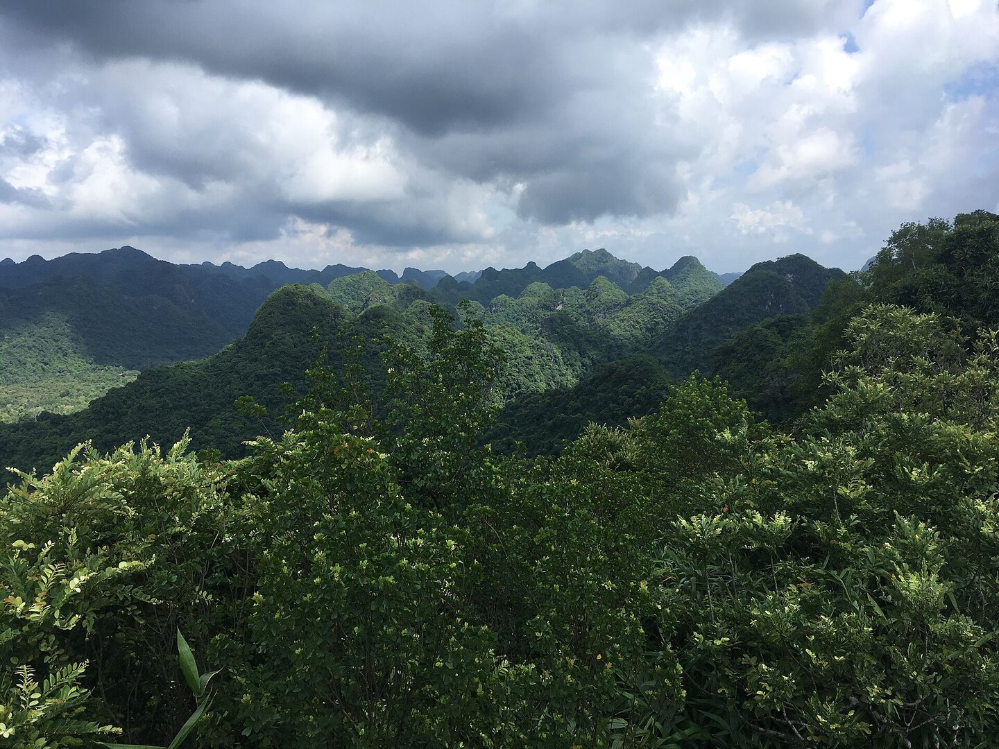
Lan Hạ bay lies on the east side of Cát Bà island, in the marine part of Cát Bà National Park. Hundreds of limestone islands with sheer cliffs rise out of the water, with many small, enclosed, calm sandy beaches between them. The bay is part of the Hạ Long Bay – Cát Bà Archipelago World Natural Heritage site, recognised by UNESCO in 2023.
Busy and quiet times
May–August is the busiest time, when the bay is crowded with boats, especially around the caves that are often visited. Around September–November the bay is emptier and calmer, suiting people who want to rest.
Photographs
9 of 9 on fileThe story
Lan Ha Bay — a shoreline people have lived on since prehistory
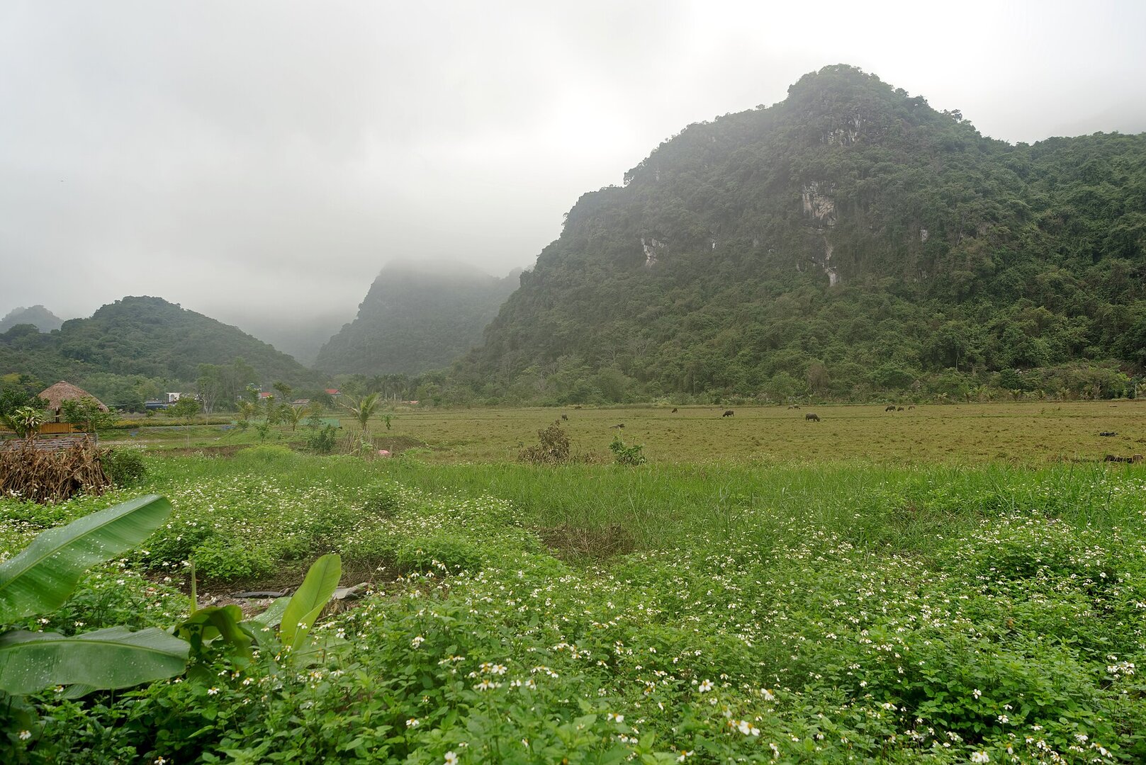
Picture Ha Long Bay, the name you have probably heard for years, then keep going south to the eastern side of Cát Bà Island: the same limestone mountains drowned by the sea, rising as sheer-walled peaks and towers, but with many small sandy coves tucked between them, enclosed and still. This is Lan Hạ Bay, a coastal karst landscape — karst being limestone terrain shaped by water. The hundreds of rock islands here were here before any people. And people came very early.
Vibe
Tags
Source
The position and the fact that the bay lies in the marine part of the National Park come from the official page of Cát Bà National Park; the heritage status comes from the Ministry of Culture, Sports and Tourism (16 Sep 2023). Most details about how to enter the bay, Sáng Tối cave, Luồn cave, Monkey island, the sandy beaches and the season to go come from the VnExpress guide article (5 Aug 2023); the storm-season and northeast-monsoon-season dates are general climate data for Hải Phòng from the Vietnam Maritime Search and Rescue Coordination Centre, not measured specifically for the bay. The rules on boats following routes and the ban on discharging waste follow Báo Hải Phòng (8 Jan 2026); the life-jacket requirement follows Znews (Jun 2026); overnight cruises follow Dân trí (27 Nov 2024); the floating village and the Cái Bèo archaeological site follow the Vietnamese Wikipedia; the boundary of Cát Hải special zone follows VTV (14 Jun 2026). The figures of 400 islands, 139 sandy beaches, the bay's area and the distance to the city centre are not used: they appear only in one unreferenced source, or differ between sources. The dimensions of Luồn cave and the number of Cát Bà langurs are also not used. The description 'the ancient fishing village of Cái Bèo is a national monument' has been corrected: the 2009 certificate belongs to the archaeological site, not to the present floating village. Ticket prices and boat-hire fees in older articles are not used because they may be outdated.
Place data is compiled from many sources across the internet by a team of automated AI agents that collect, enrich, check, challenge, score, edit, review and verify it.












Ratings & comments
Anyone can read. Sign in to rate, comment and like.