Cát Bà, Hải Phòng · Nature
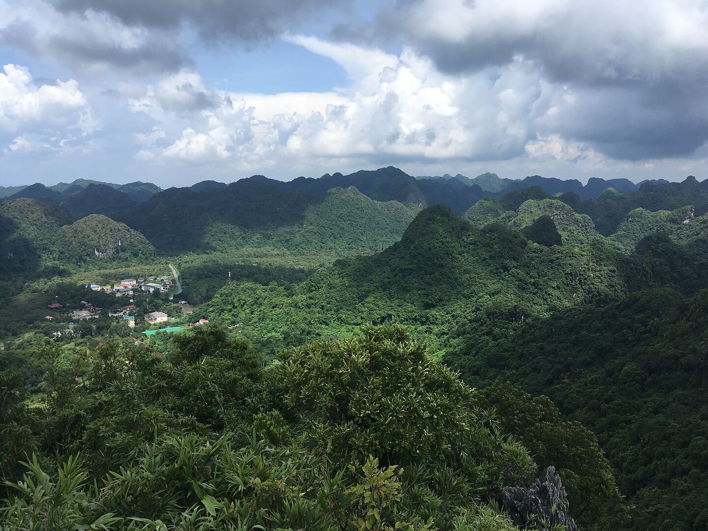
Kim Giao Peak
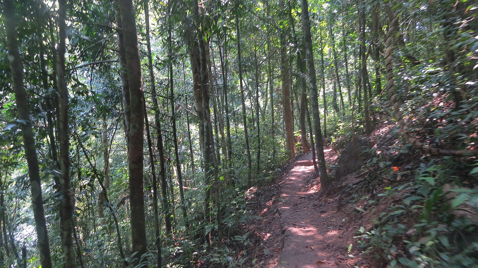
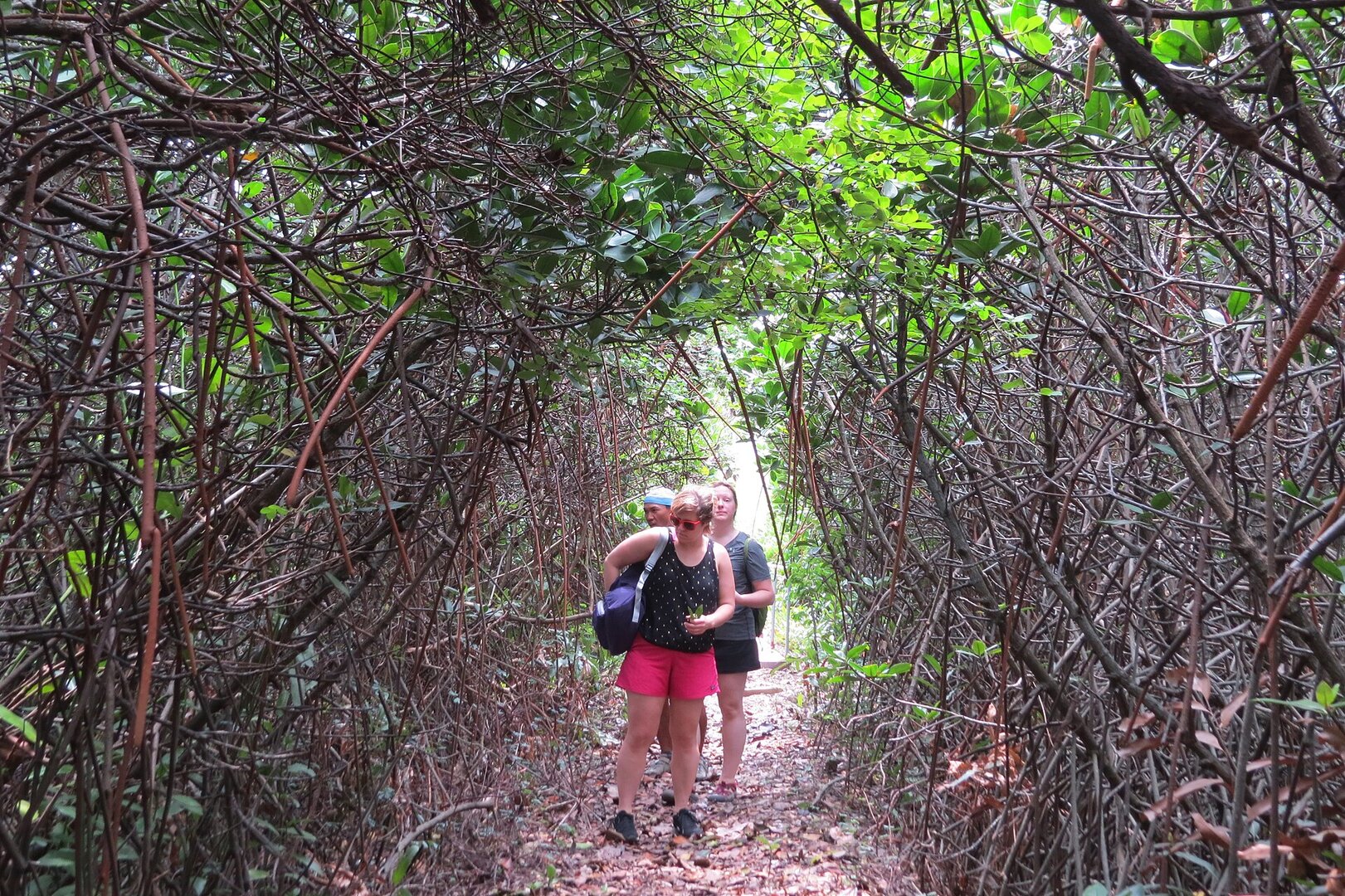
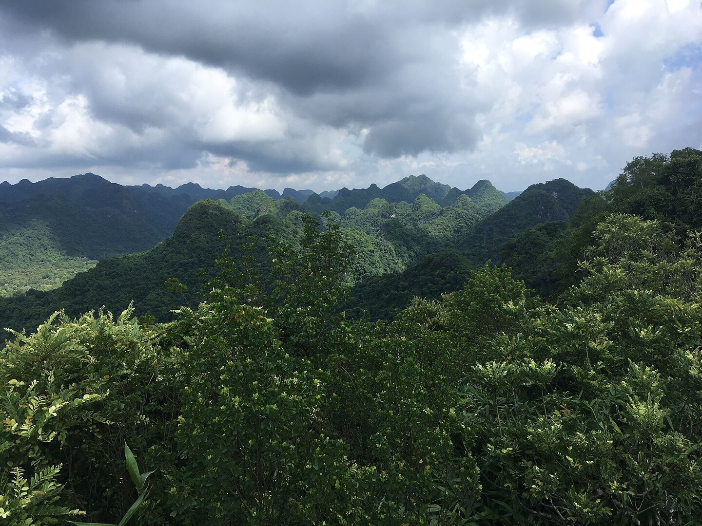
A rest stop on the Kim Giao – Ngự Lâm climbing route in Cát Bà National Park, right by a stand of kim giao (a conifer) forest growing almost as a single species; from here the trail continues up to Ngự Lâm peak.
Photo: Tuyencabr · CC BY-SA 4.0
What people come for
Kim Giao – Ngự Lâm is the park's most popular climbing route; the inscription 'Đỉnh Kim Giao' carved in the rock is a familiar photo spot and has a stone bench to sit and rest.
Tuyencabr · CC BY-SA 4.0 · source
Getting there and around
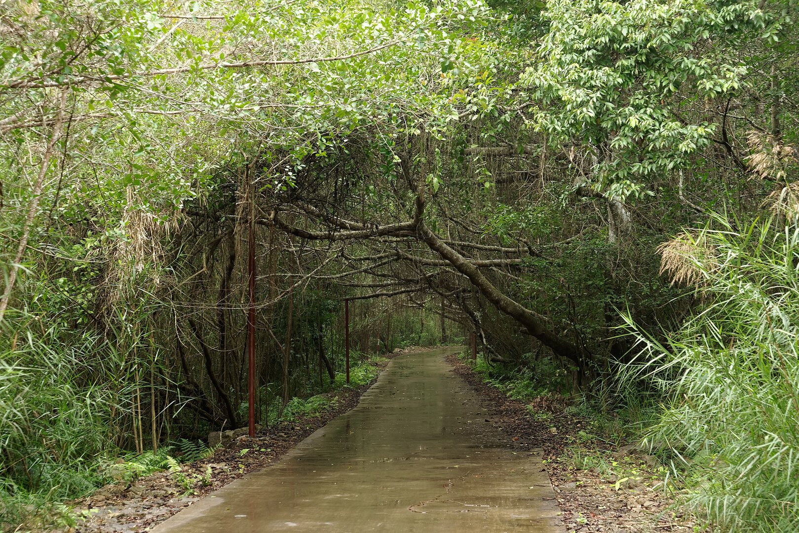
There is an entrance fee to the national park, at a low level. The park is nearly 12 km by road from the centre of Cát Bà town; from the gate to the foot of the mountain is a fairly flat concrete stretch before the climb begins. There are no shops along the way, so bring your own water and food.
Before you go
Late autumn to early spring the island is quiet, with little rain and cool weather, suitable for forest walking. In summer there is a lot of rain, the stone and clay paths are at their most slippery, and there may be storms in midsummer; the forest has many mosquitoes and leeches, so wear long clothes and bring insect repellent. Typhoon Yagi in Sep 2024 badly damaged the Cát Bà forest, and at the end of 2024 the authorities estimated 3–5 years or longer to recover; there is no source on the condition of this particular route after the storm.
What this place is
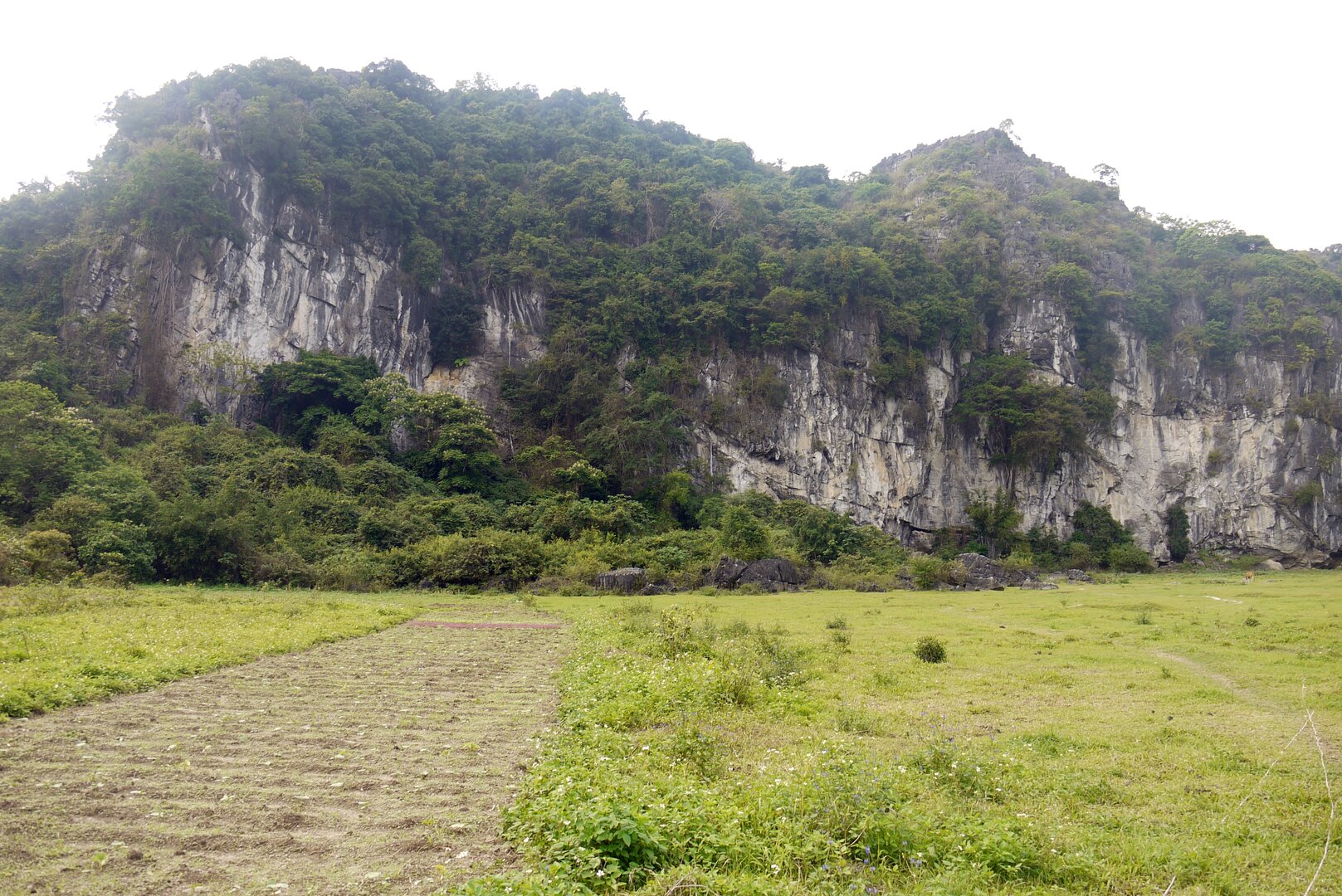
A stop on the Kim Giao – Ngự Lâm climbing route in Cát Bà National Park, next to a fairly flat stand of kim giao forest, with trees hundreds of years old according to a park officer. In Cát Bà, kim giao grows in stands that are almost a single species, which is rare because elsewhere this species usually grows mixed with other trees.
Busy and quiet times
Suits fit people used to forest walking: the climbing route is physically demanding, going over stone steps clinging to the cliff, jagged karst rock and slippery clay. Not suitable for people who need level paths.
Photographs
5 of 5 on fileThe story
Đỉnh Kim Giao — a single-species forest where fallen trees stay where they fall
Picture yourself having just climbed a run of stone steps, and in front of you is a rock bearing the words "Đỉnh Kim Giao". Beside it there is a stone bench to sit on. Behind you is the shade of the kim giao forest. People stop here to catch their breath, take a photo with the rock — the familiar shot of this stretch — and then carry on. Because this is not the end of the trail. Ngự Lâm Peak sits higher up, roughly 200 m away as the crow flies, with a two-storey lookout pavilion waiting at the far end of the route.
Vibe
Tags
Source
The position on the route, the stone bench, the stone carved with the name, and the advice to bring food and protect against leeches and mosquitoes come from VnExpress (an article of 20 Sep 2020 and the Cát Bà guide of 7 May 2022). The surface of the climbing path, the shade of the kim giao canopy and the distance to the town come from Dân Việt (16 Jul 2022, republished from the Hải Phòng information portal). The kim giao forest and the concrete stretch from the gate come from Người đưa tin (10 Mar 2024, quoting a park officer). The single-species stand and the 'near threatened' status of kim giao come from Vietnamese Wikipedia, Wikidata and the Gymnosperm Database. The marks of Typhoon Yagi come from Dân trí (29 Nov 2024). The rainy season was further checked against the ERA5 climate reanalysis 2005–2024. Rejected: the figure 'height 300 m' (every page copies one 2020 article, contrary to the terrain model: Kim Giao is lower than Ngự Lâm), the path length 'over 700 m' (sources disagree), every ticket price figure, and safety warnings found on only one machine-generated content page. The park's 'Rừng Kim Giao' (Kim Giao Forest) sign (photographed in 2017) states an area and a cone-bearing season that differ from the press; this page does not yet use those figures. The coordinates are awaiting re-checking by the operator.
Place data is compiled from many sources across the internet by a team of automated AI agents that collect, enrich, check, challenge, score, edit, review and verify it.










Ratings & comments
Anyone can read. Sign in to rate, comment and like.