Cát Bà, Hải Phòng · Island
Đảo Cát Ông
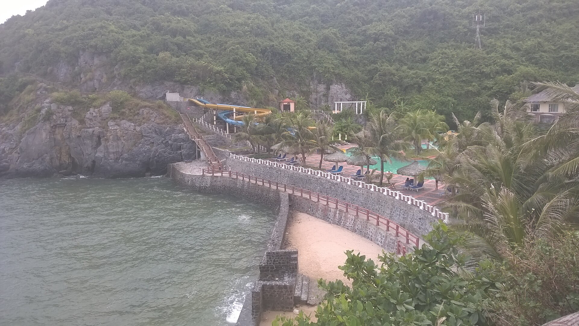
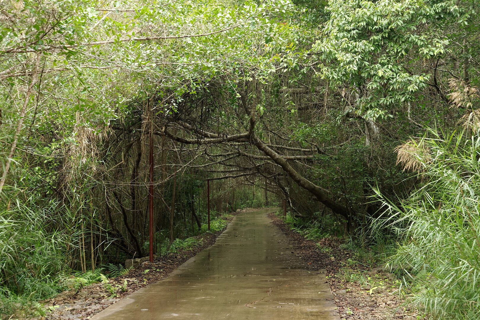
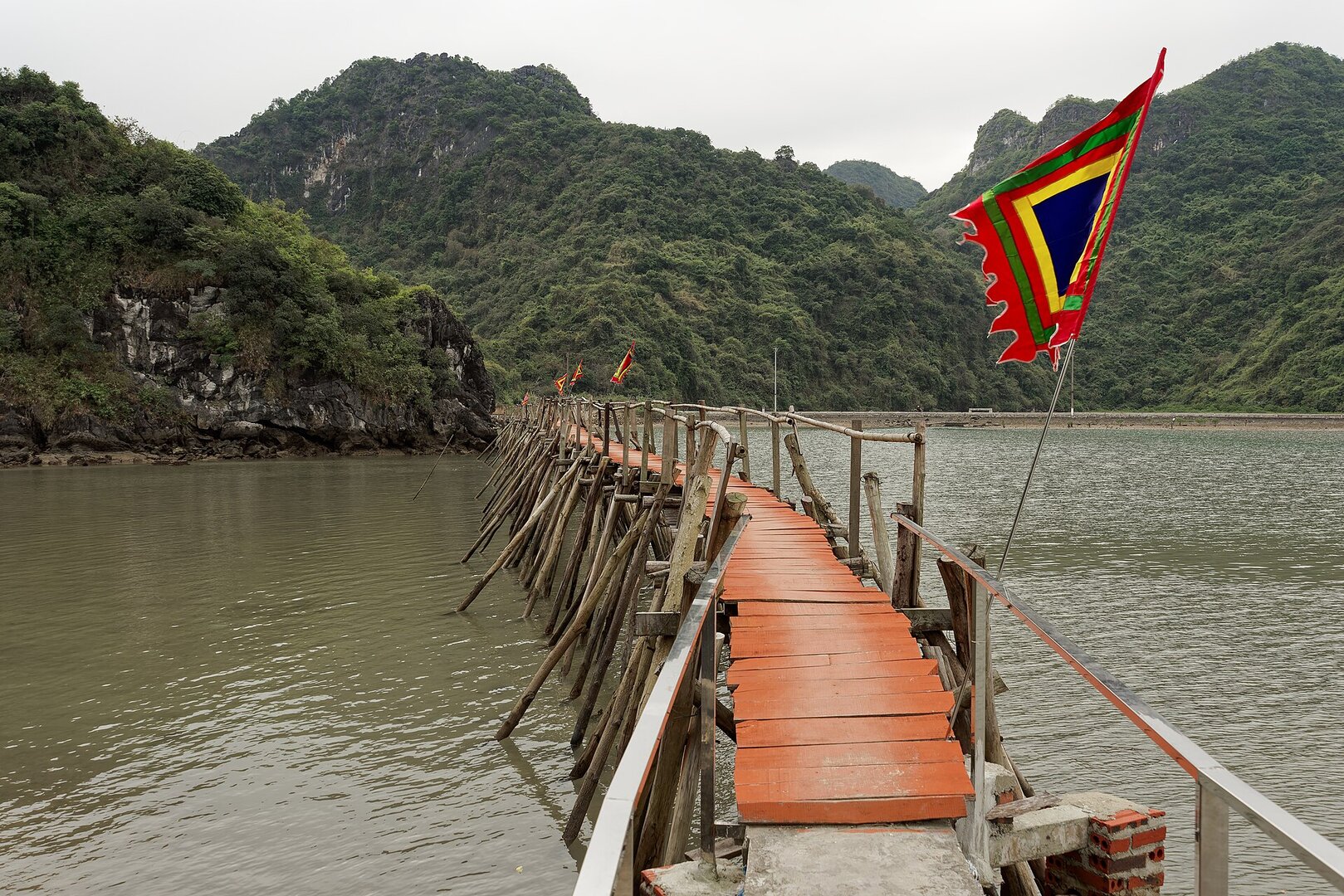
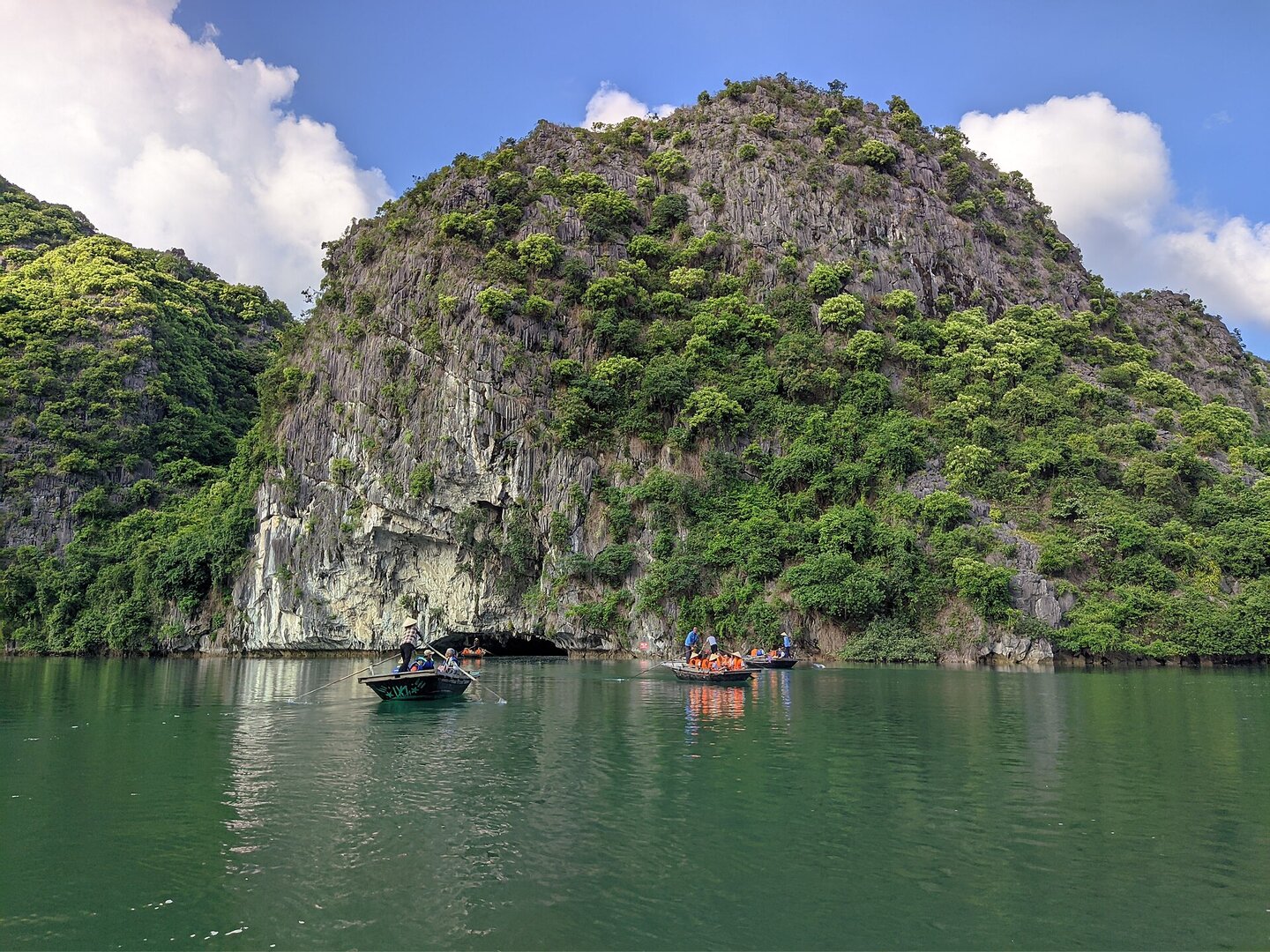
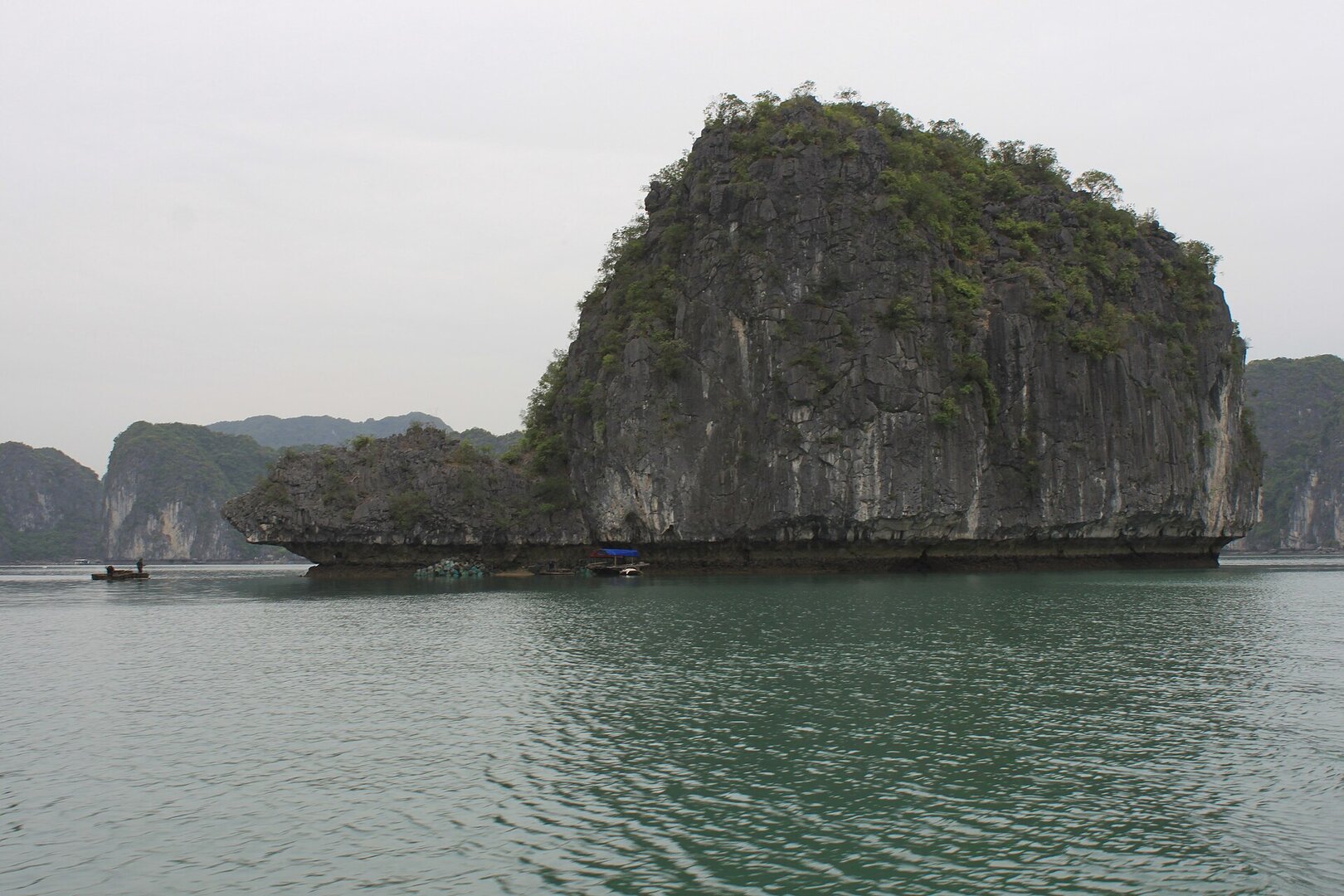
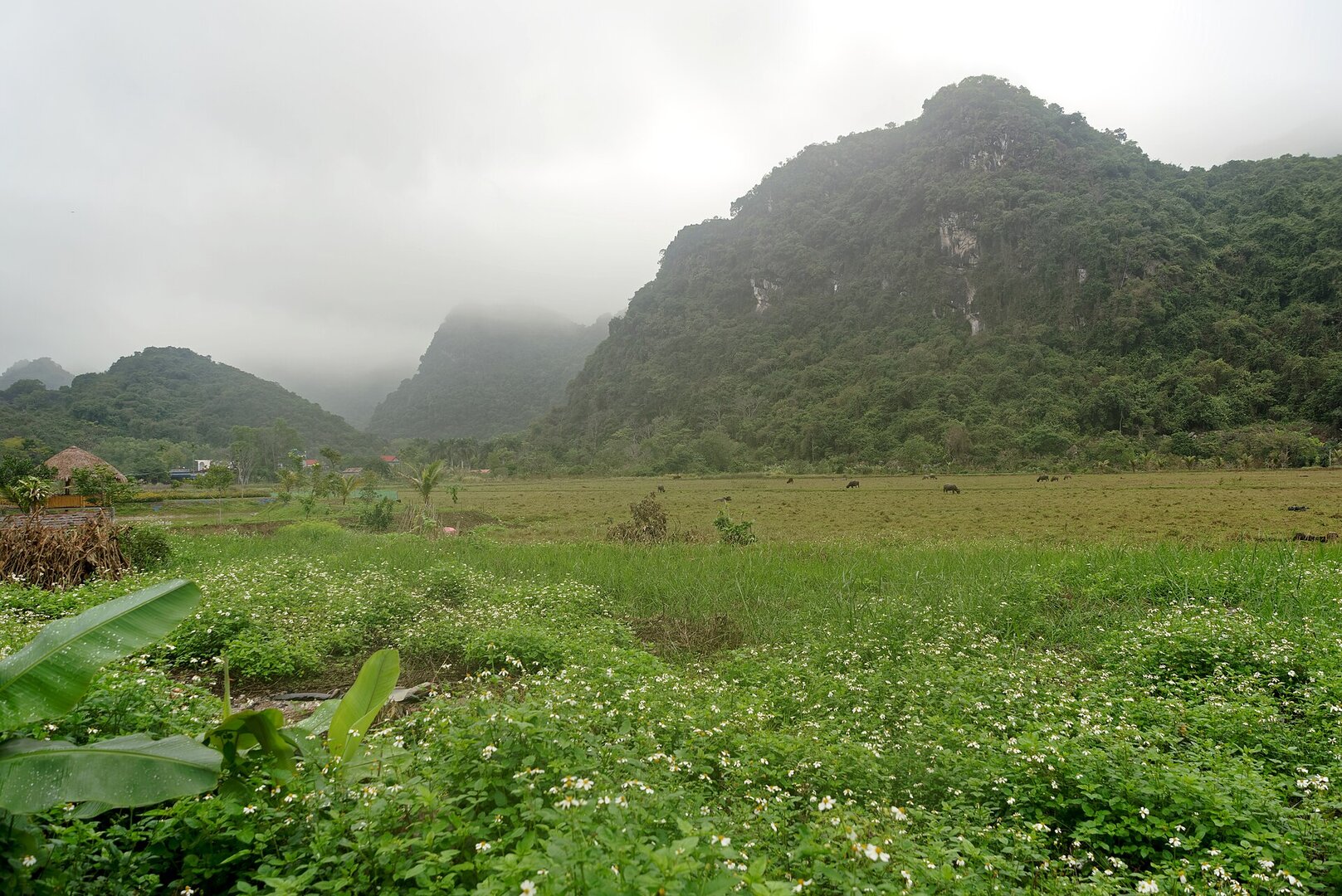
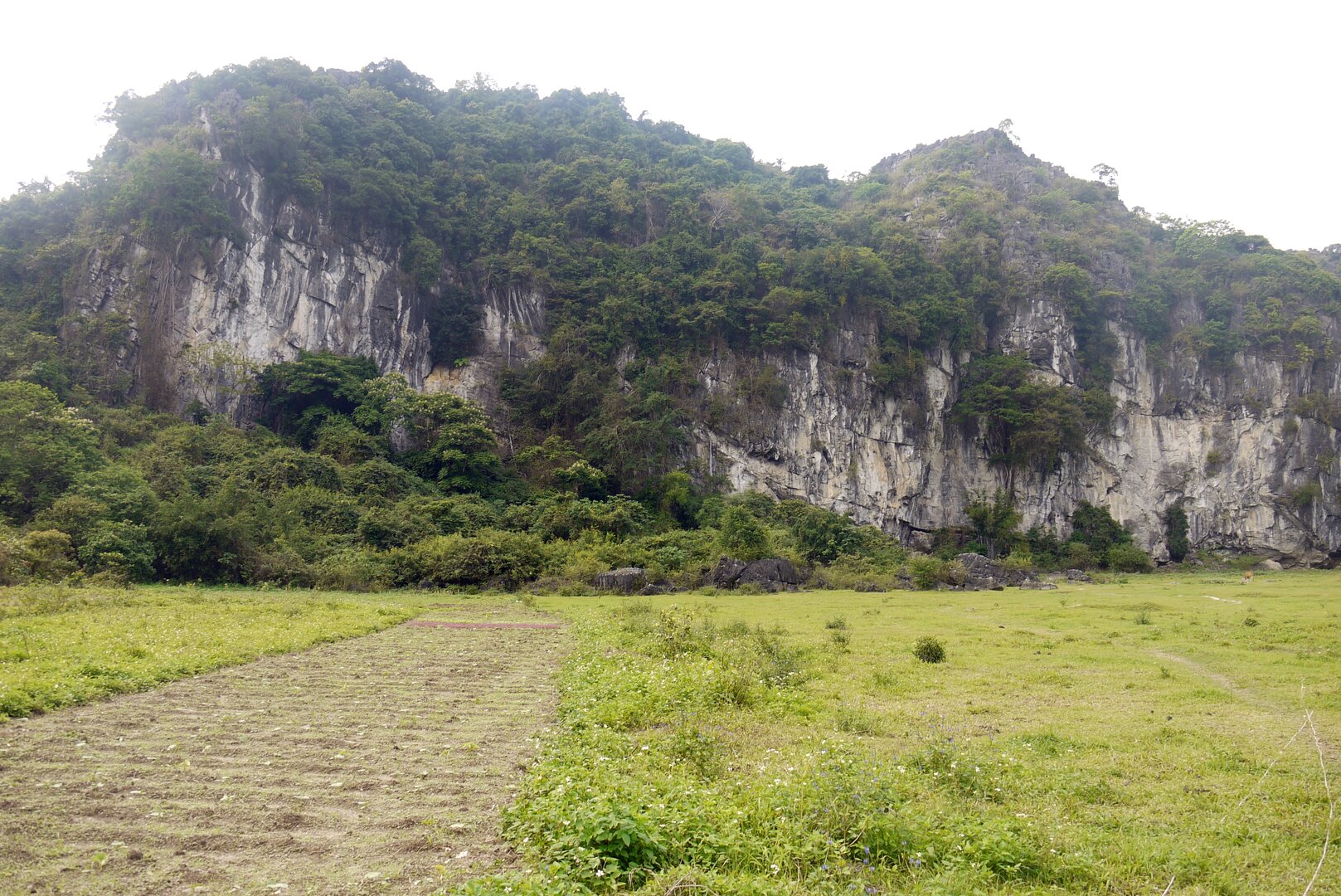
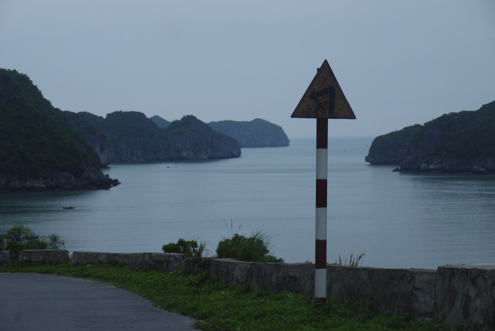
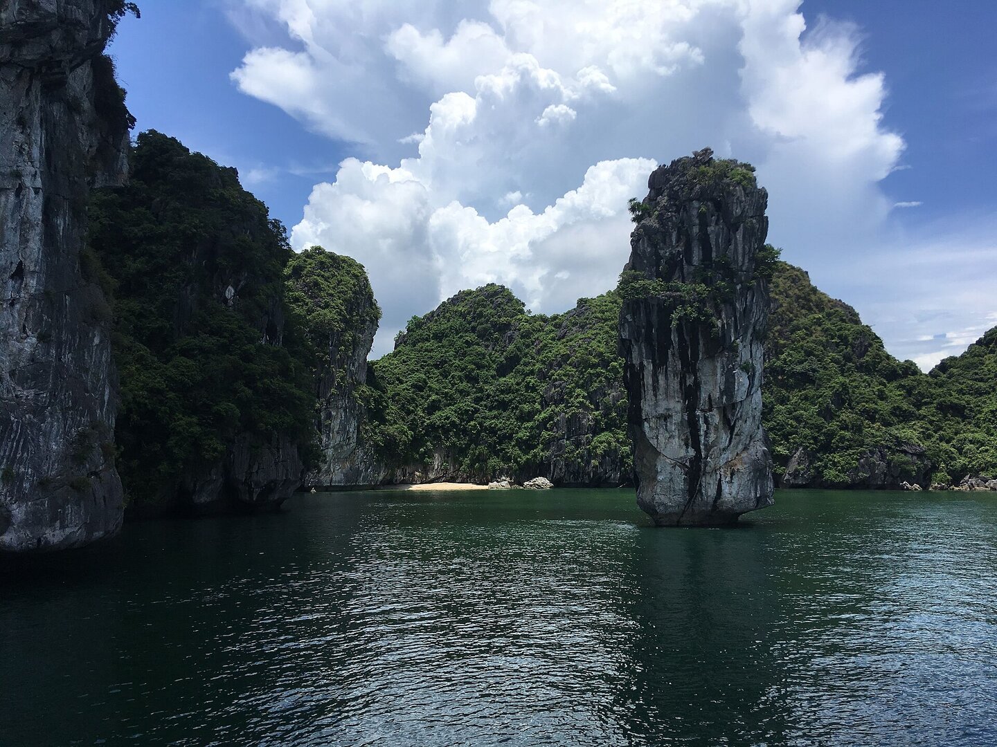
A small forested limestone island in Cát Giá Bay, a few kilometres by sea southwest of Cát Bà town; there are a few small sandy beaches at its foot, and it can be reached only by ferry, boat or kayak.
What people come for
Swimming, strolling the small sand beaches, kayaking around the island, and watching sunrise and sunset over the bay.
Getting there and around
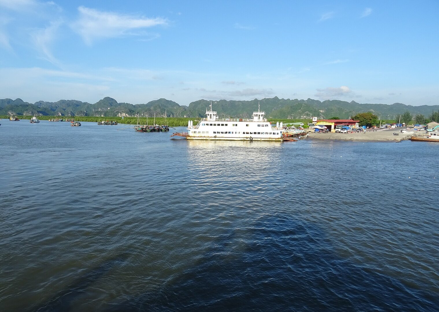
The island has no road: you reach it by ferry, boat or a hired motorboat from the harbour of Cát Bà town, and kayakers can paddle there themselves.
Before you go
The sea-bathing season in the Cát Bà area runs about April to October, but storms in Hải Phòng usually fall in June to September (Vietnam Maritime Search and Rescue Coordination Centre). Every storm season the city has spells of sea bans, tourist boats stop running and so you cannot get to or leave the island. No source speaks of lifeguards or no-swimming zones on the Cát Ông beaches, so swim only when the sea is calm. In 2024 Hải Phòng proposed dropping the sightseeing route 'Vịnh Cát Bà – đảo Cát Ông – chùa Thiên Ứng' because part of the bay has been planned as a tourism and services zone, so ask about the status of trips to the island at the boat pier before going.
What this place is
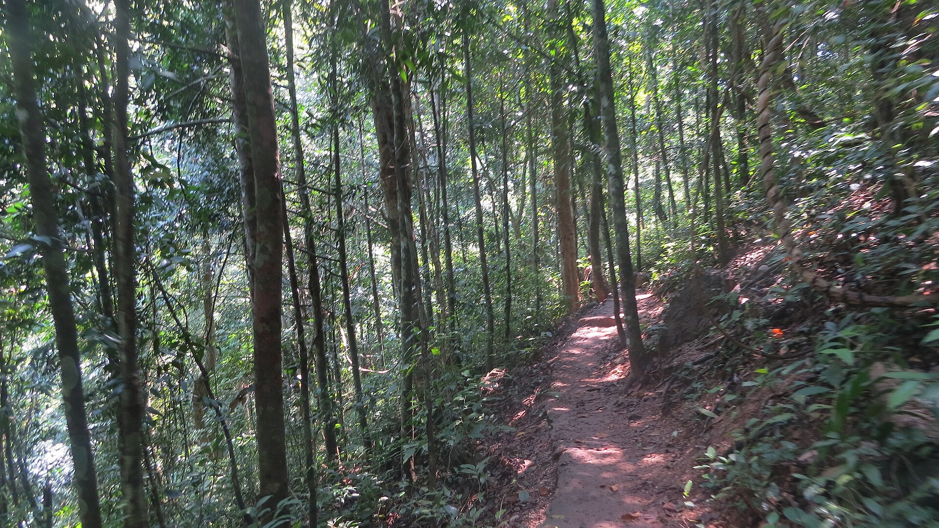
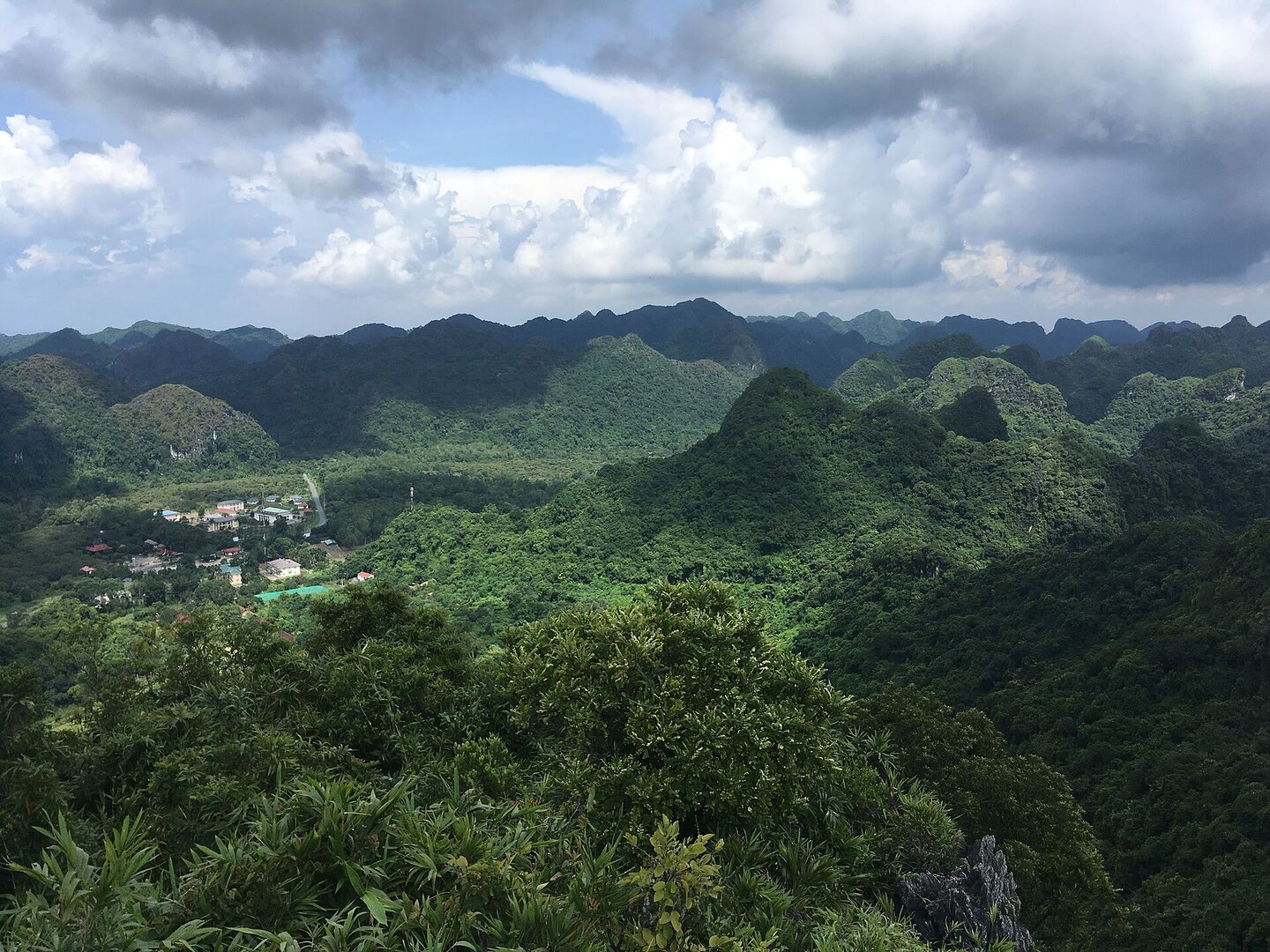
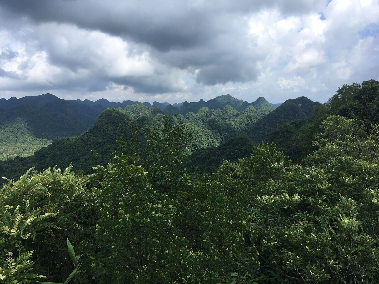
A small island whose body is a forested limestone mountain, lying on Cát Giá bay (also called Cái Giá bay) south-west of Cát Bà town, not on Lan Hạ bay; at the foot of the island are a few small, separate sand beaches. Legend has it that the names Cát Ông and Cát Bà are mispronunciations of 'Các Ông' and 'Các Bà'.
Busy and quiet times
In summer the island is far busier; from about November to March the Cát Bà area is quiet of visitors.
The story
Cát Ông Island: the other half of a name
According to folk legend, the names Cát Ông and Cát Bà are corrupted forms of "Các Ông" and "Các Bà", roughly "the Men" and "the Women" in Vietnamese. This is folk tradition, not recorded history. Still, on this island the clearest thing left over from earlier times is exactly that: a name spoken aloud every time someone hires a boat to get here. The island itself was made by no one. Cát Ông is a small island in the Cát Bà archipelago, sitting in Cát Giá Bay (also called Cái Giá Bay or Cát Bà Bay). Its body is a forested limestone hill, and at its foot lie a few small, separate sandy beaches.
Vibe
Tags
Source
The island's location and shape were cross-checked from a Google Maps pin looked up by hand by the product owner against the polygon 'Đảo Cát Ông' on OpenStreetMap (read via Overpass on 12 Oct 2026). The current administrative unit (Cát Hải Special Zone, Hải Phòng) also comes from the OpenStreetMap boundary; the name Trân Châu commune in older articles is the unit that existed before the reform of 1 Jul 2025. That the island lies in Cát Giá Bay, not Lan Hạ Bay, is based on the words of a Hải Phòng City People's Committee leader in VnBusiness (2018), and the map geometry matches that statement. How to get to the island by boat and the activities of swimming, kayaking, watching sunrise and sunset follow the VinWonders guide, cross-checked with mia.vn and VnBusiness. The swimming season follows the Cát Bà travel guide of VnExpress. The storm season follows the Vietnam Maritime Search and Rescue Coordination Centre. The sea bans follow SGGP (Jul 2024), Báo Hải Phòng (Aug 2025) and Tiền Phong (Aug 2026). The discontinuation of the Cát Ông sightseeing route in 2024 follows Nhân Dân newspaper (21 May 2024). The story behind the names Các Ông and Các Bà is a folk tale retold by VinWonders, not historical record. Rejected: 'the island lies in the middle of Lan Hạ Bay' (mia.vn, VinWonders), contrary to the words of the managing authority; 'to the south', wrong direction; coral diving and 'Ghềnh Tự Do' found only on one blog; the marker 'September–November avoid storms' differs from state meteorological sources; 'three white sand beaches' does not match the map; all figures for ferry fares and sightseeing tickets are either outdated or not established as applying to Cát Ông. There is no source on rescue or swimming safety at the beaches on the island, and it has not been determined whether the island lies in the core zone of the Cát Bà Biosphere Reserve.
Place data is compiled from many sources across the internet by a team of automated AI agents that collect, enrich, check, challenge, score, edit, review and verify it.

















Ratings & comments
Anyone can read. Sign in to rate, comment and like.