Cát Bà, Hải Phòng · Nature
Three Peaches
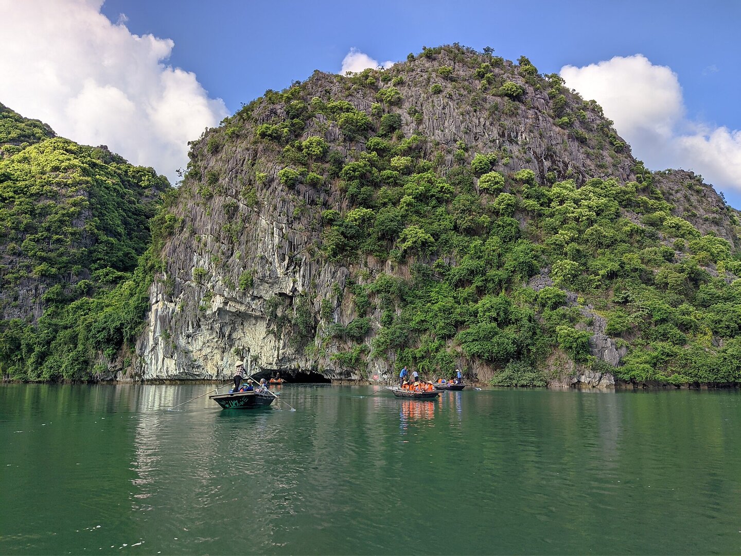
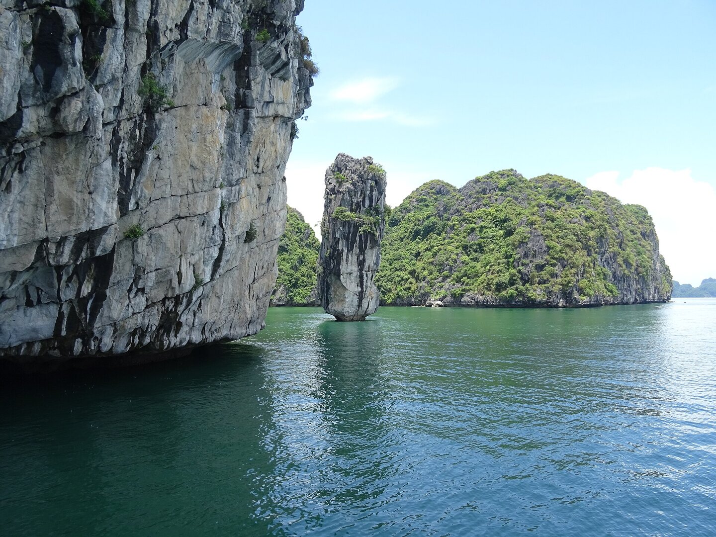
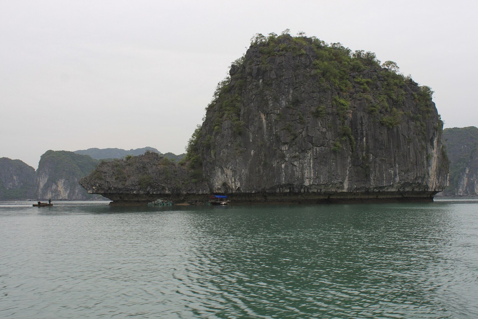
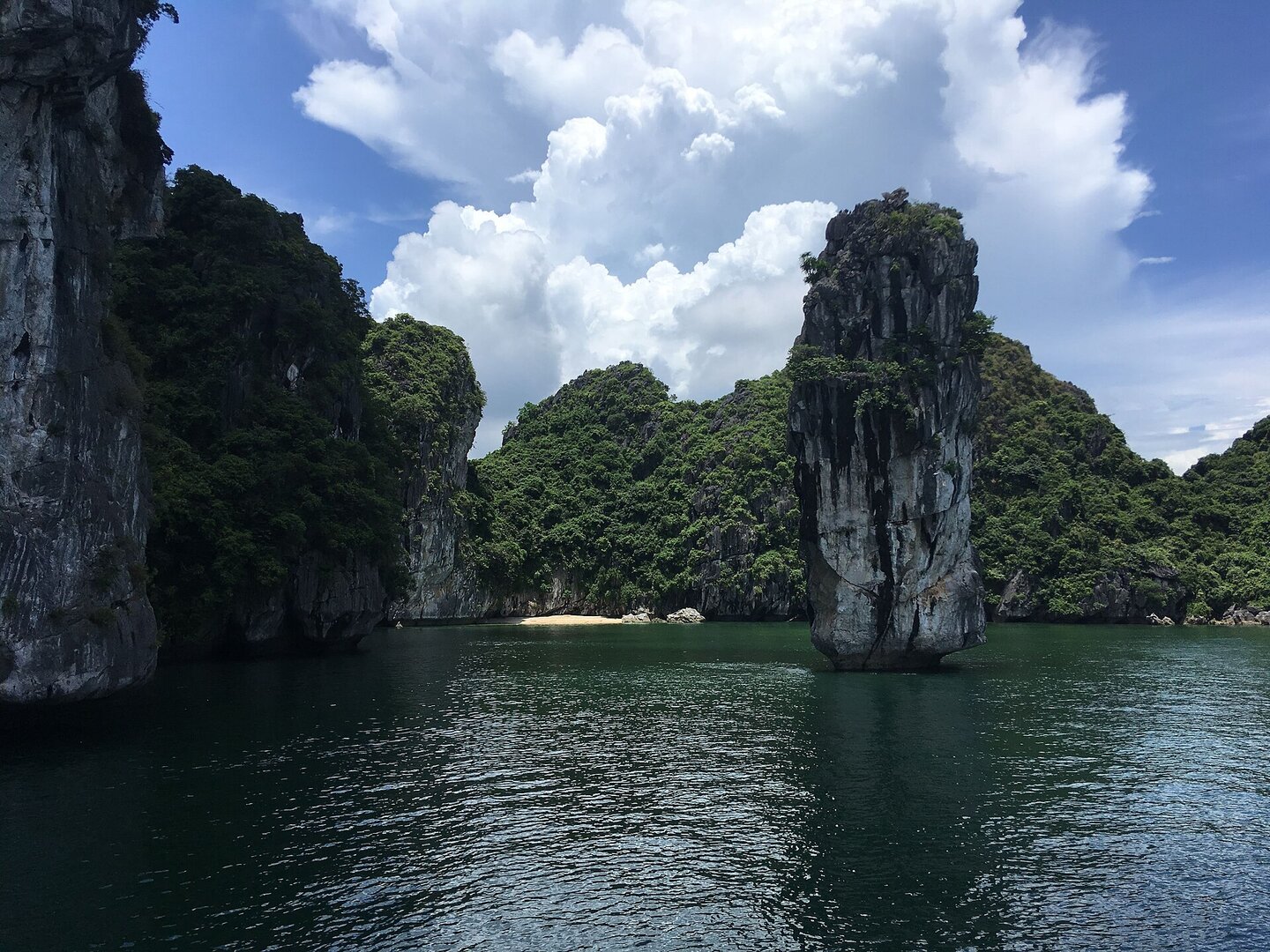
Picture three low limestone outcrops standing close together on the water, round as three peaches in a row, with a strip of white sand at their feet that appears only when the tide goes out.
01What people come for
Swimming when the beach is exposed, and looking at and photographing the three rock blocks in the blue water. According to a staff member of the Bays Management Board, the view is best at sunrise or sunset.
Getting there and around
Reachable only by water: on a Lan Hạ Bay tour boat that stops at this spot, or by hiring a private boat from Cát Bà; there is no road access. Large boats usually anchor offshore, and visitors wade, swim or take a small boat to the beach. To go out on the bay you must buy a scenic-area ticket at the pier, plus the cost of the boat or tour.
Before you go
The sandy beach only shows in full at low tide and is submerged at high tide, so check the tide table before going. There is no lifeguard on the beach, the bottom has stretches of rock and sharp coral, and there are sometimes jellyfish. There is also no food stall or lodging on the beach, so bring water and food and take your rubbish back. The Bays Management Board regards May–September as the ideal season to go, but typhoons in this area usually fall in June–September (VMRCC). When there is a typhoon, bay tours stop and the swimming beaches are temporarily closed. From November to April the water is too cold for swimming. Kayak services in the bays of the Cát Bà archipelago were suspended from 15 Nov 2024 and no document allowing them to resume has been seen, so ask the boat operator first.
What this place is
Three low limestone blocks stand close together in the middle of Lan Hạ Bay, shaped like three peaches in a row. Around the foot of the rock are arc-shaped white-sand beaches, with clear, shallow water. Legend has it that a fairy stole three immortal peaches to give to a fisherman, and the Jade Emperor turned them into three islands. This story is only found on travel websites.
Busy and quiet times
A small beach shared with tour groups. When several boats call at once it feels cramped, and summer is the peak. When no tour boats have stopped, the beach is quieter.
The story
Ba Trái Đào: an old legend, a new tide table
Picture three low limestone outcrops standing side by side in the sea, wooded on top, round as three peaches in a row. That is what the name Ba Trái Đào means: "three peaches". Around their base lie white sand beaches curved like bows, the water clear and shallow. Legend has it that a fairy stole three peaches of the immortals as a gift for a young fisherman. When the Jade Emperor, the supreme deity of Vietnamese folk belief, found out, he turned the three peaches into three stone islands. What the past left here is not a building. It is a folk story attached to the shape of the rock.
Vibe
Tags
Source
The name, administrative location, the form of the three limestone blocks, access by water, the season to go and the hours of best scenery come from an article in Báo Hải Phòng (13 Sep 2025), quoting the Management Board of the bays of the Cát Bà archipelago. The coordinates were checked against OpenStreetMap data (looked up in Oct 2026): there is a strip of sandy beach right next to three small rock islets, inside the boundary of Cát Hải Special Zone, Hải Phòng. This place does not belong to Quảng Ninh as some travel pages state. The tide, the absence of lifeguards, the rocky bottom and coral, jellyfish, the lack of services on the beach and the crowds when boats call come from Local Vietnam (updated 20 Jun 2026) and Vietnam Tourism (2026). These are both travel aggregator pages. The storm season comes from the Vietnam Maritime Search and Rescue Coordination Centre (VMRCC). The closing of the beach in storms comes from Thanh Niên (22 Jul 2024). The temporary kayak suspension comes from Người Quan Sát (21 Nov 2024). The bay scenic-site ticket matter comes from VnExpress (7 May 2022). Rejected: the figure '22 km southeast of town' (contrary to the coordinates, this place is to the northeast of the town); the height '23 m' / '20–30 m' of the three islets (sources differ, with no measurement); 'swimming only possible 2–3 hours a day' (found only on an aggregator page); ticket and kayak prices (old sources or a service that is suspended); 'has a seafood restaurant' (contradicted by newer sources); and every promotional claim that it is 'safe for children'.
Place data is compiled from many sources across the internet by a team of automated AI agents that collect, enrich, check, challenge, score, edit, review and verify it.
Ratings & comments
Anyone can read. Sign in to rate, comment and like.