Cát Bà, Hải Phòng · Park
Cat Ba National Park
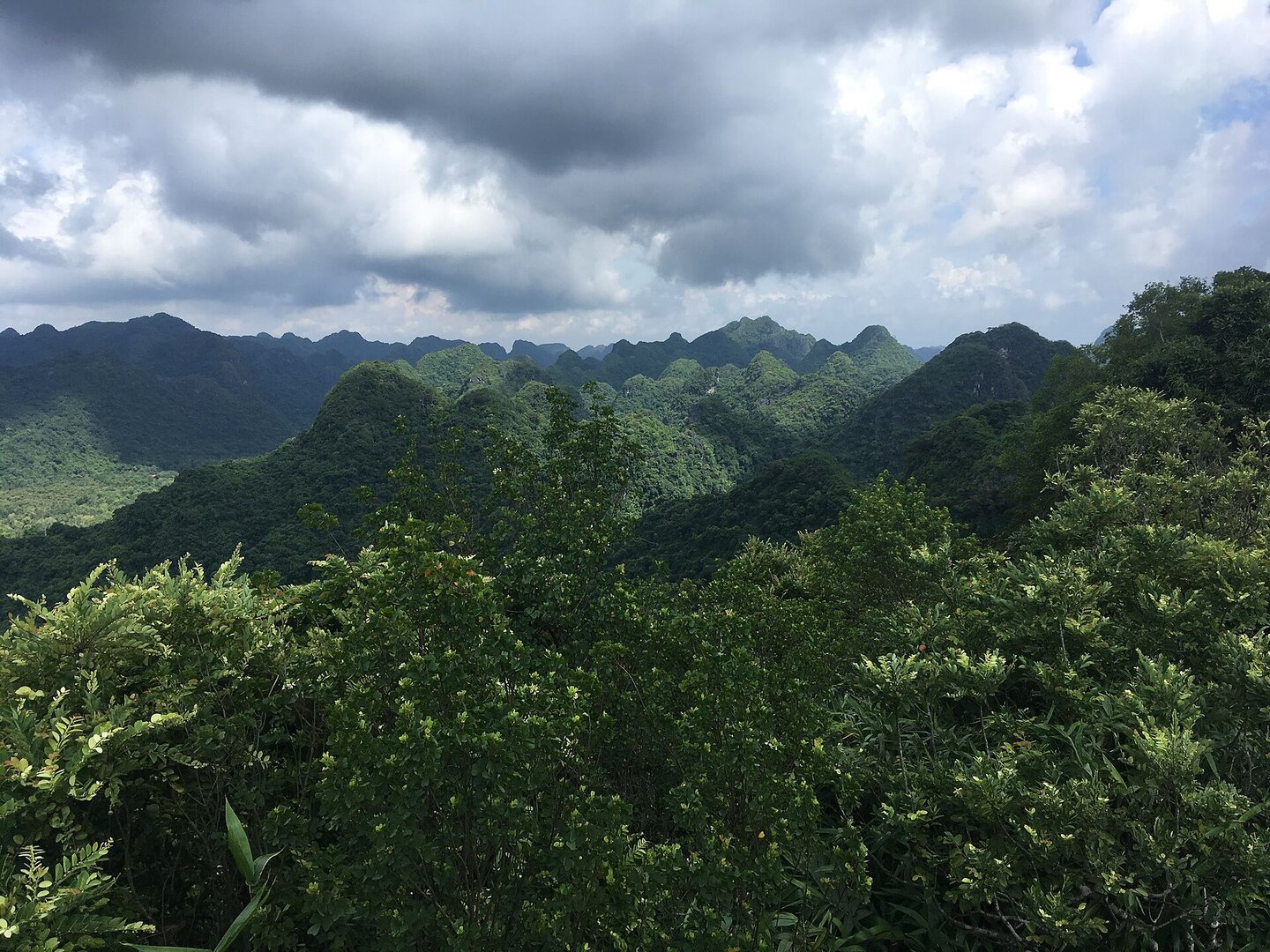
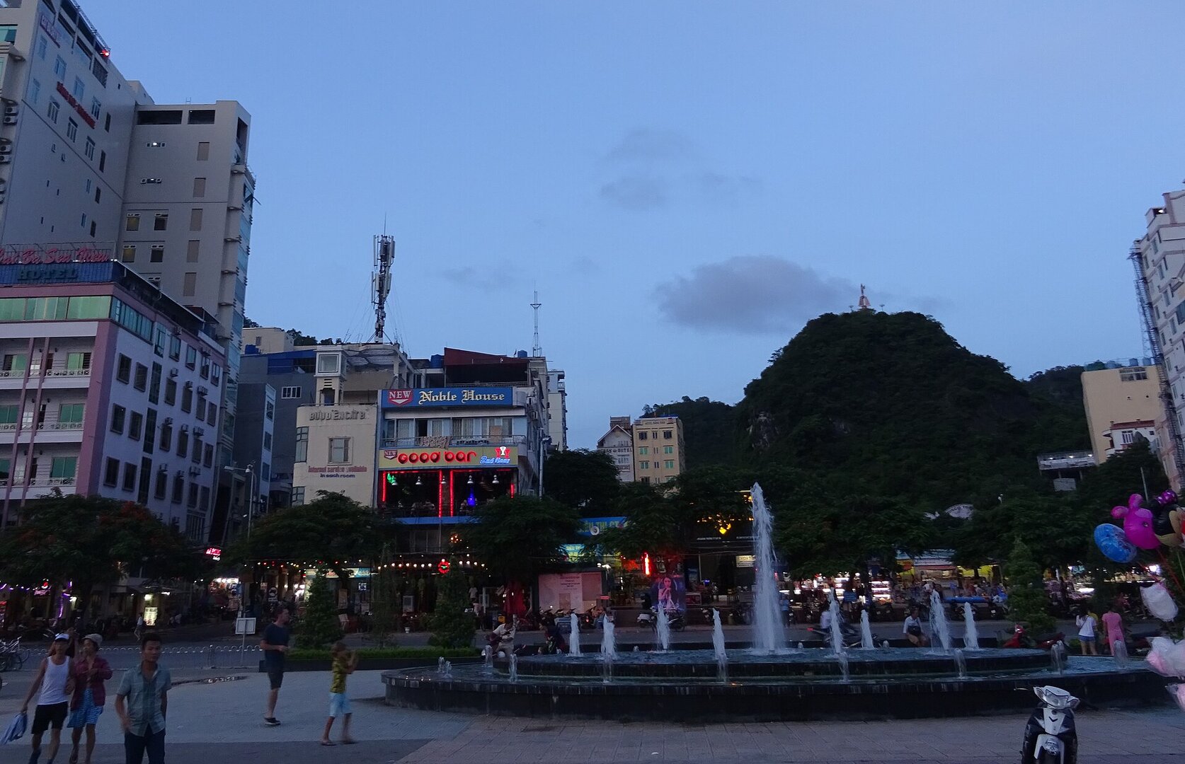
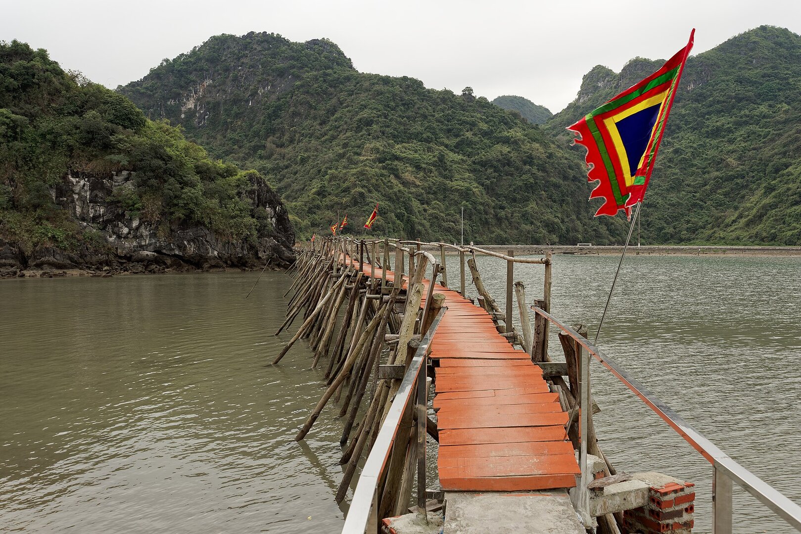
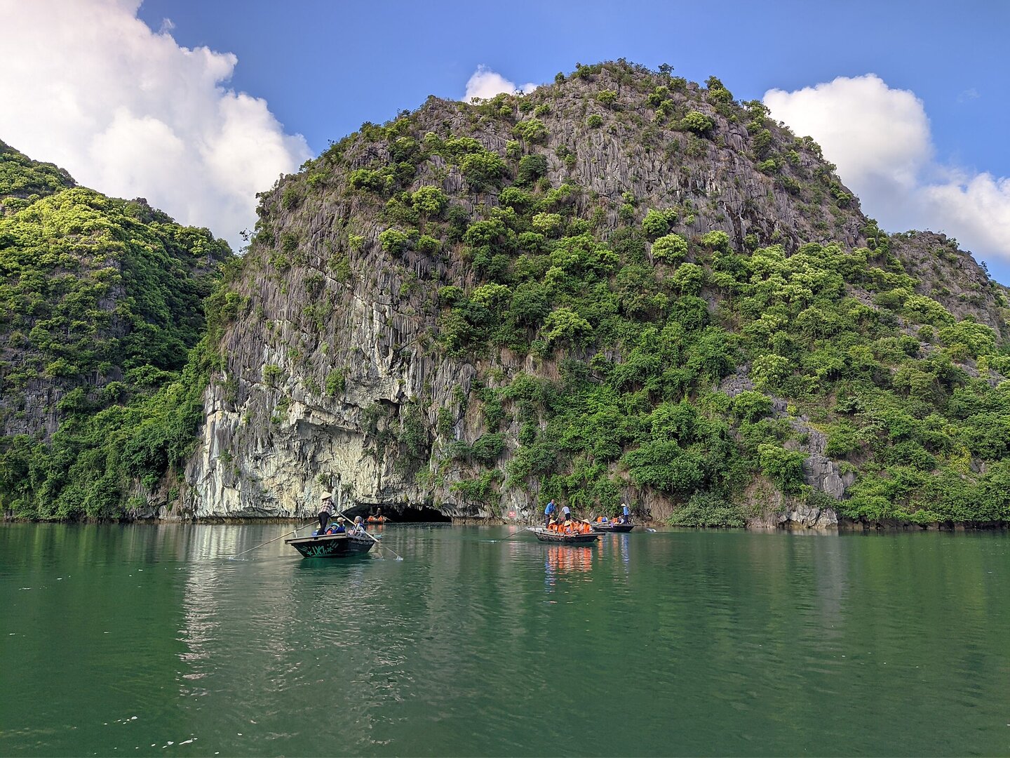
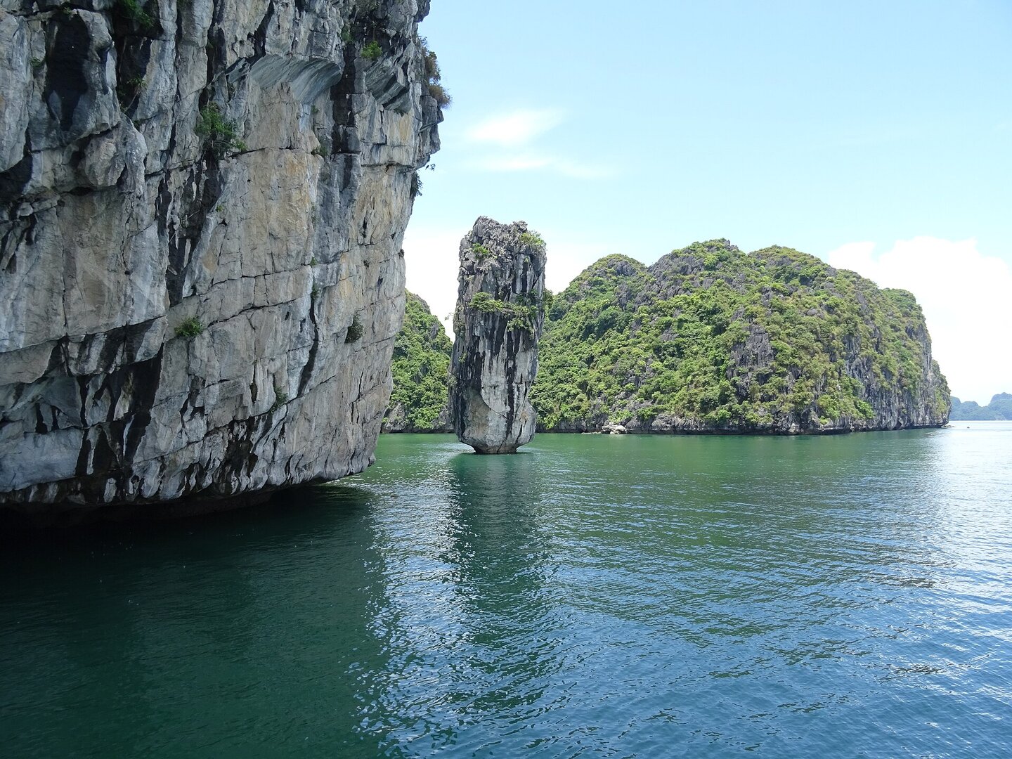
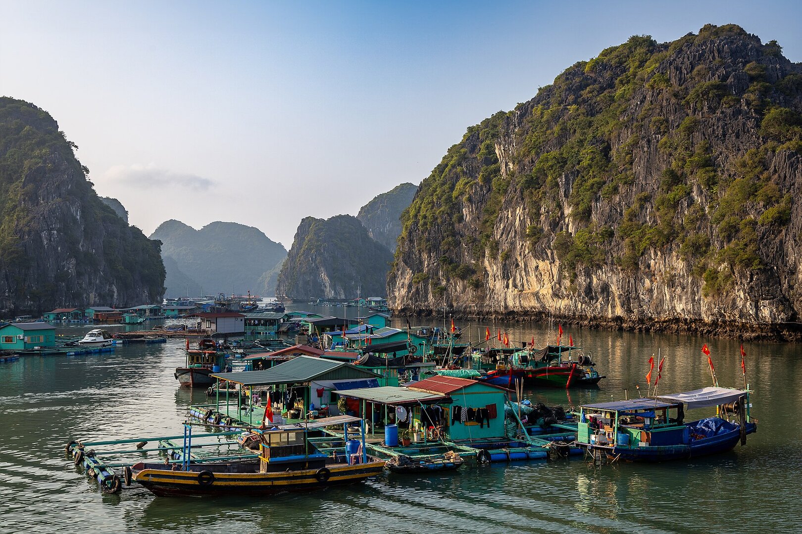
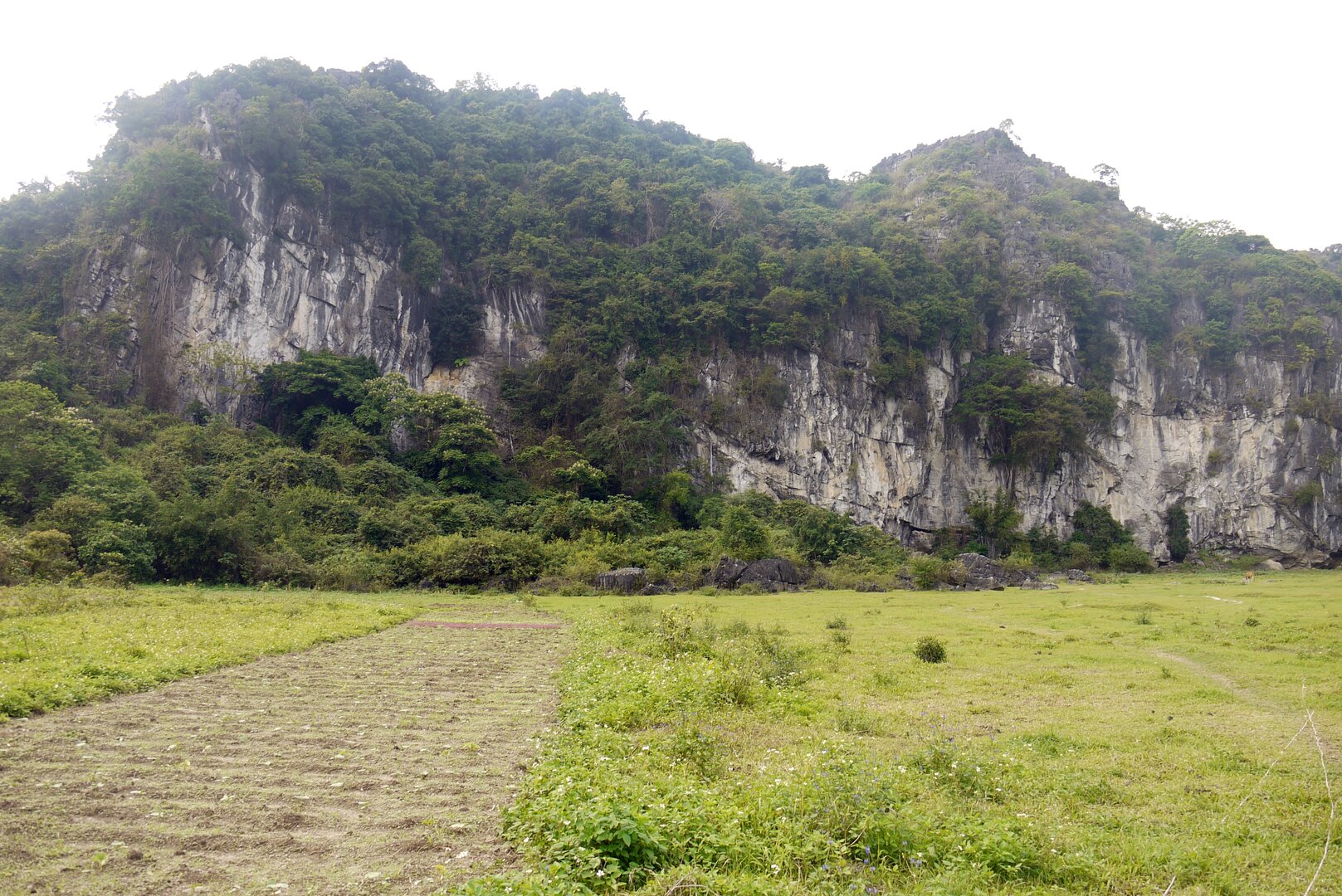
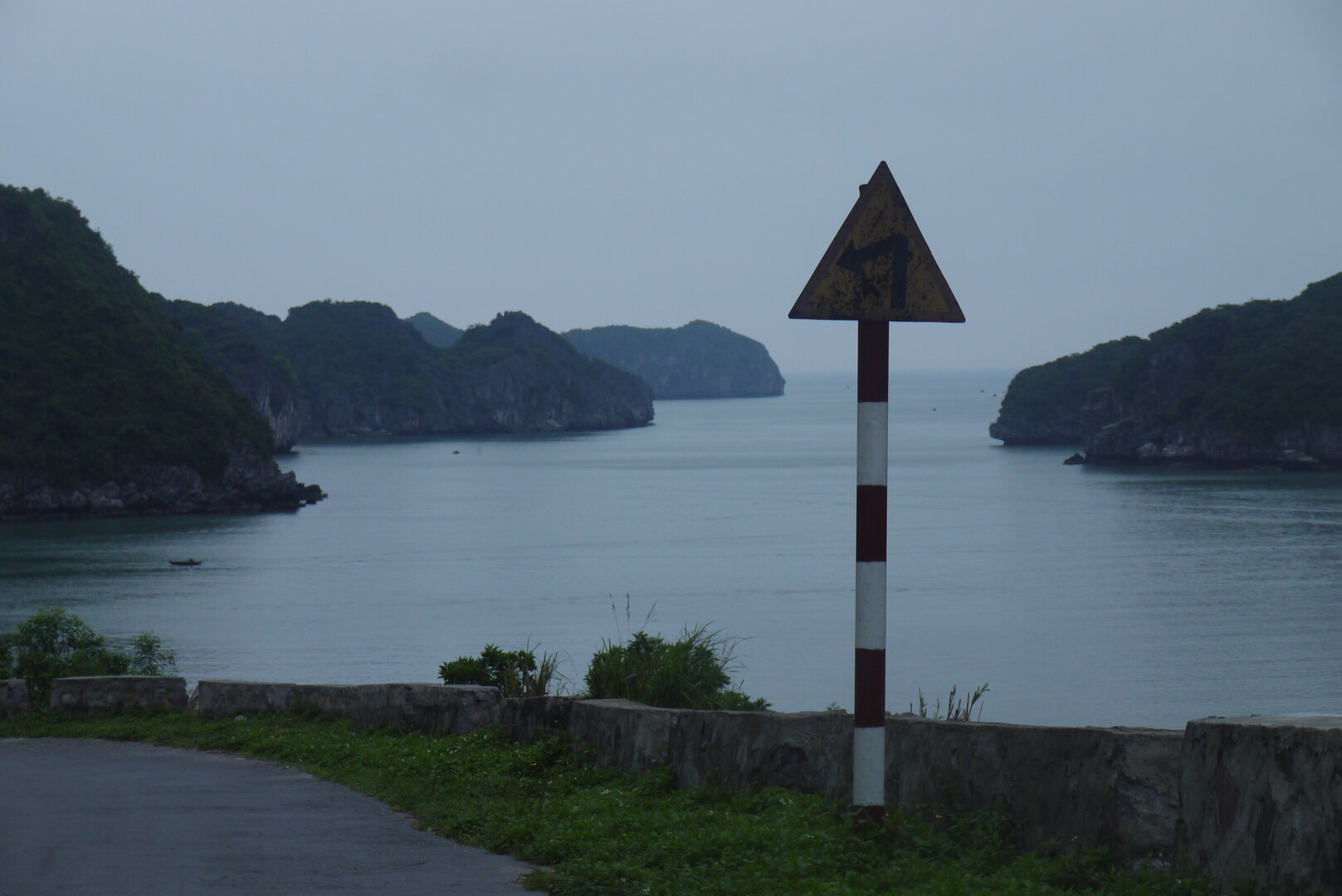
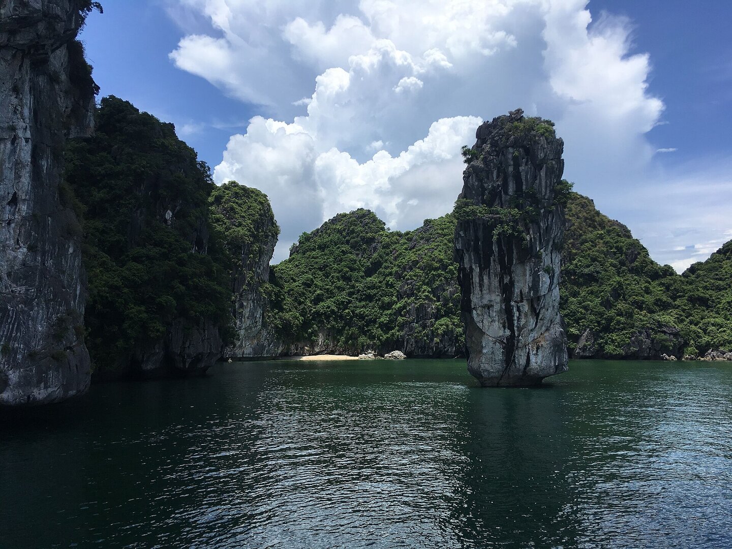
Picture Ha Long Bay, a name you have probably heard. In 2023, UNESCO listed the bay as a World Natural Heritage site together with another archipelago: Cat Ba. There, limestone peaks are covered in forest and stand with their feet in the sea, and people have lived on the island for around seven thousand years.
01What people come for
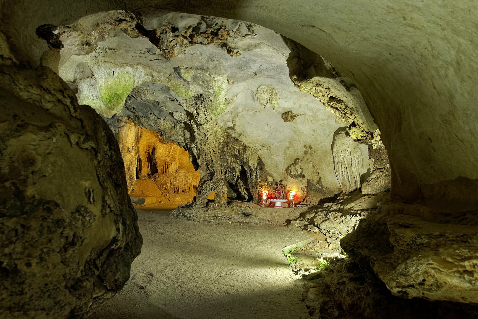
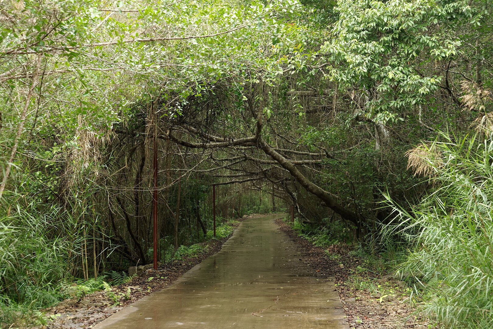
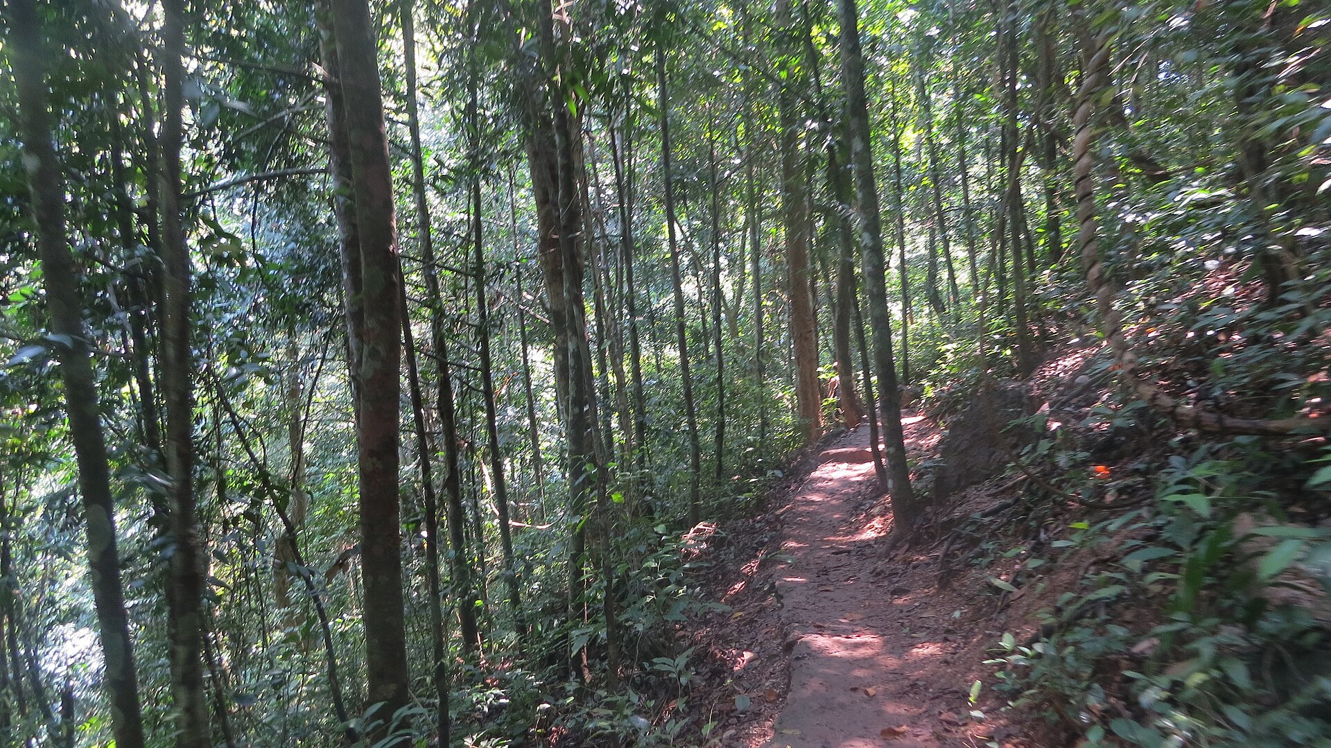
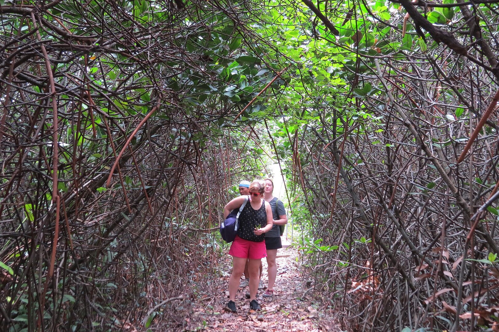
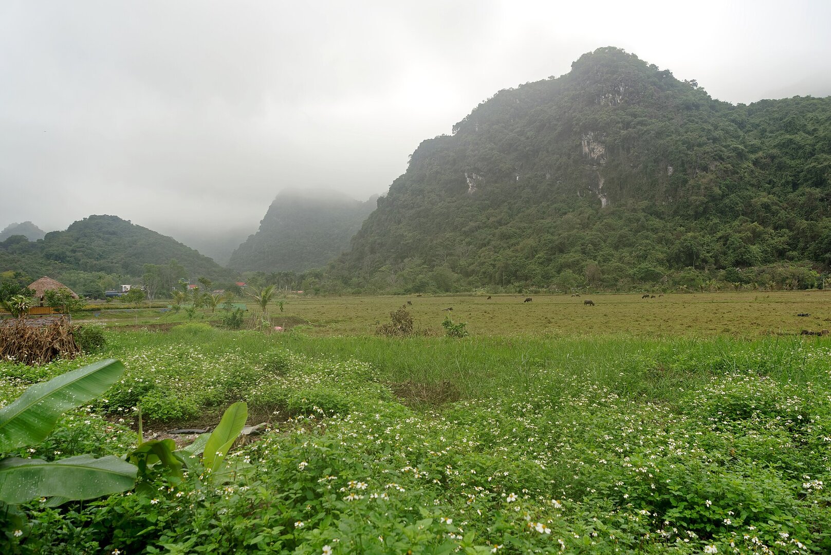
People come to walk through the forest: the short trail, within a morning, goes through Kim Giao forest up to Ngự Lâm peak or into Trung Trang cave, formerly called Bat Cave (hang Dơi), which still holds traces of the daily life of ancient Vietnamese people; and the long trail of nearly a full day, Mây Bầu – Ao Ếch – Áng Phay – Việt Hải. At Ao Ếch, thousands of Và nước trees grow up from the bottom of the pond; in the rainy season the pond spreads out, in the dry season it shrinks to about a quarter. The park is home to the Cát Bà langur, a critically endangered endemic species with only about a hundred individuals left in the wild. They live on cliff faces far from the trails, so they are rarely seen.
Busy and quiet times
The short trails suit families, with a specimen house at the central area displaying about 2,500 animal and plant specimens (the park's tourist activities page). The long trail is for people with stamina: steep, with tangled roots and uneven stone steps, some stretches only one person wide, and it is best to go with a local guide or a forest ranger to avoid getting lost.
ALOnIShOnETH · CC BY-SA 4.0 · source
How it feels
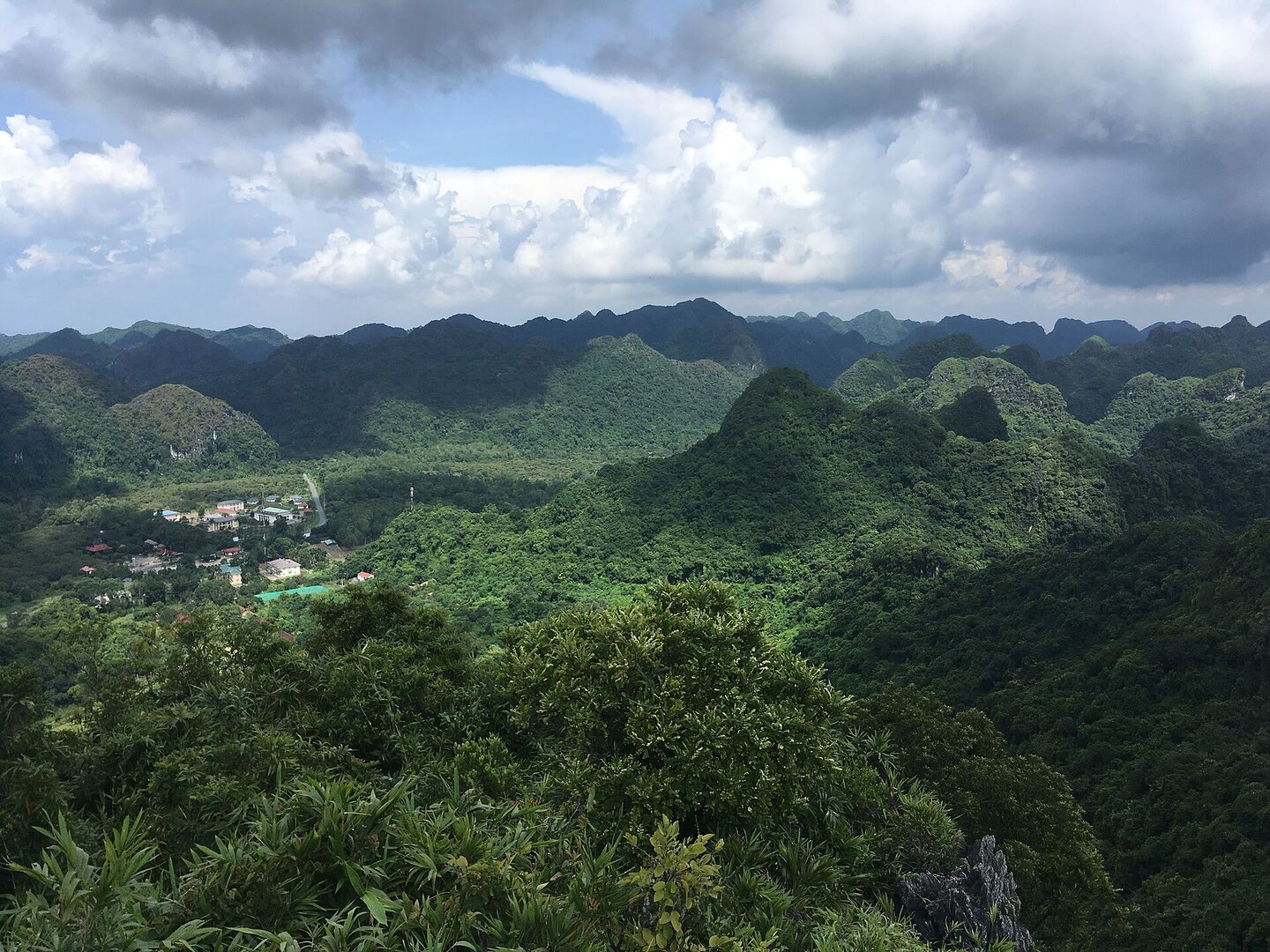
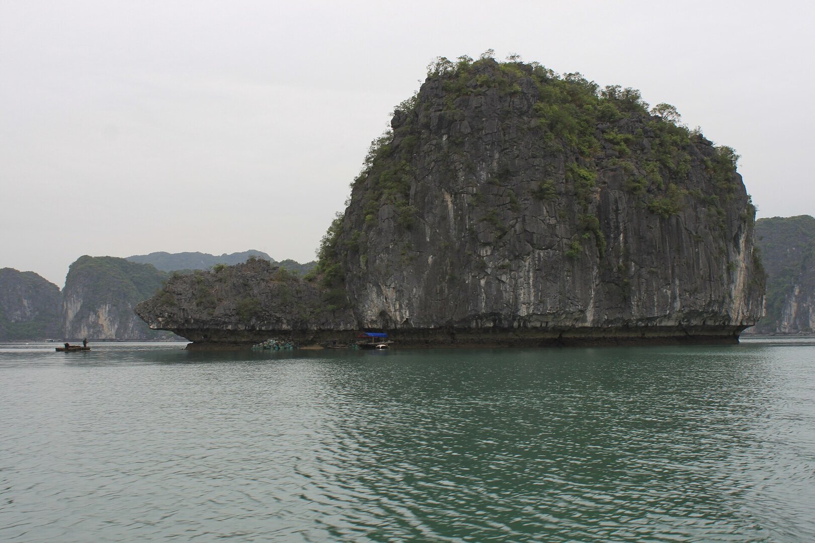
A national park established in 1986 on Cát Bà island, covering more than 17,000 ha of limestone forest on the island and sea surface; the park management describes it as the first national park in the country with both forest and marine ecosystems (introduction page of Cát Bà National Park). The scenery is limestone mountains eroded by the sea, mostly 50–200 m high, interspersed with flooded sinkhole lagoons (tùng áng), with evergreen rainforest, mangrove forest and coral reefs (UNESCO, Man and the Biosphere Programme); more than one hundred and fifty caves have been found in the area (the park's tourism page).
Before you go
The park charges an entrance fee; Hải Phòng has adjusted fees several times, the most recent time the park announced on 23 Apr 2026, and the new rate is unverified. The rainy season is roughly May–Oct (Department of Nature Conservation and Biodiversity). The storm season in the Hải Phòng area is usually Jun–Sep (the Gulf of Tonkin hydrometeorological page of VMRCC); during thunderstorms and storms, Hải Phòng's regulations ban tourism services on the bays around Cát Bà, and ships and ferries to the island may stop. In summer the forest is hot, with sudden rain, many mosquitoes and leeches; the Ao Ếch – Việt Hải trail has slippery rock and no stalls along the way, so wear long clothes and carry enough water. In the dry season, campfires and cooking in the forest are banned. Quân Y Cave is not part of the park.
Getting there and around
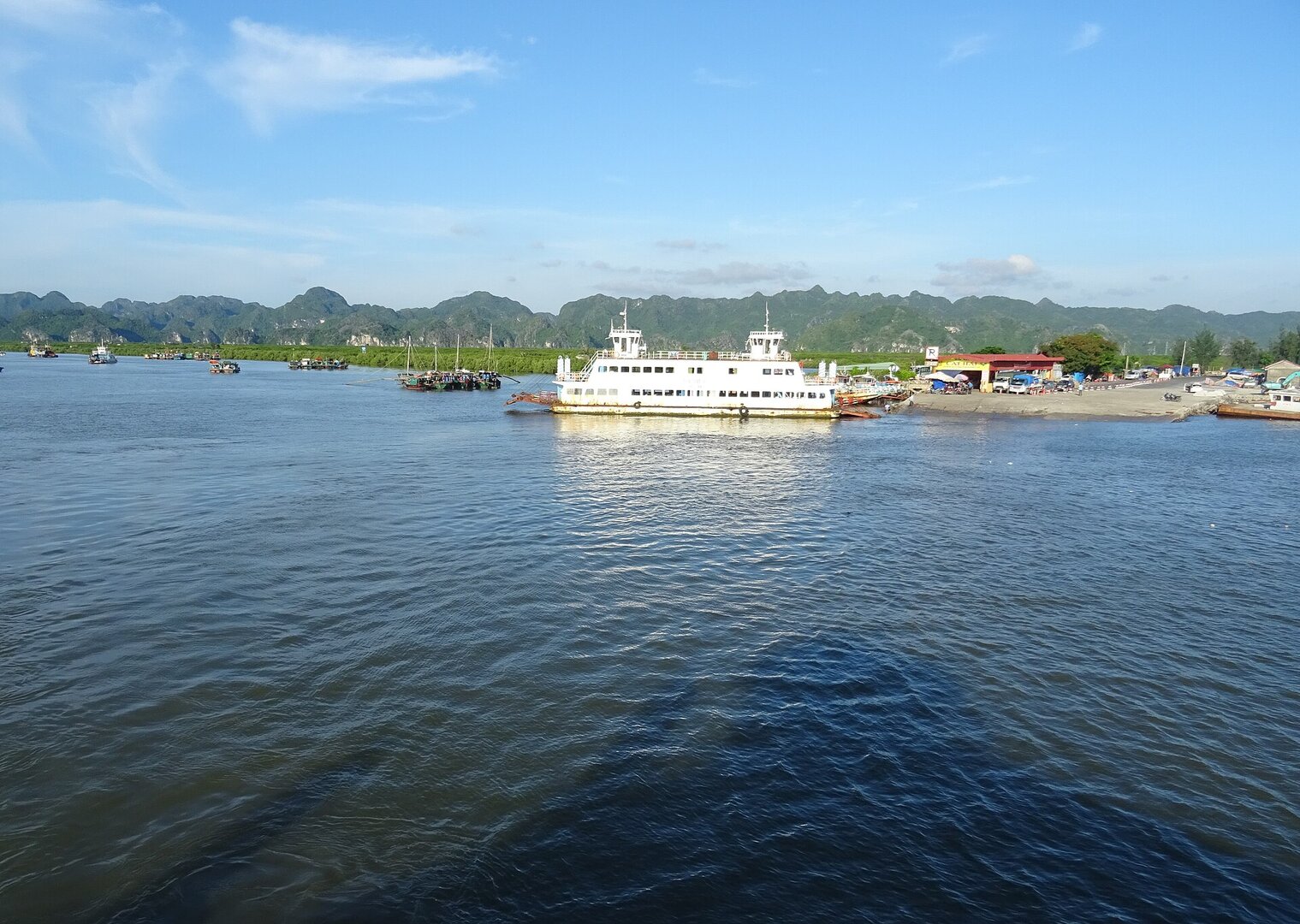
The park lies along the cross-island road of Cát Bà, on the stretch from the ferry landing side into the town, about 45 km east of Hải Phòng city (the park's introduction page). The marine part of the park covers the bay areas of Lan Hạ, Nam Cát, Vạn Bội and Việt Hải, with boat tours, kayaking and coral viewing (the park's tourism page).
Photographs
10 of 10 on fileThe story
Cat Ba National Park: a cave now kept dark
Picture Ha Long Bay, a name you have probably heard. In September 2023, UNESCO recognised Ha Long Bay together with the Cát Bà archipelago as a World Natural Heritage site. Since 2004, the Cát Bà archipelago has also been a World Biosphere Reserve. The mountains here are karst, meaning limestone worn away by the sea. Most stand only tens to a couple of hundred metres high, with flooded limestone valleys and saltwater lakes between them. People have lived on the island for around seven thousand years, and the Cái Bèo site of the Hạ Long culture is the trace they left. In 1986, the island's forested mountains and the surrounding sea were set aside as Cát Bà National Park, covering more than 17,000 hectares of forest and sea. The park's management describes it as the country's first national park to hold both forest and marine ecosystems.
Vibe
Tags
Source
The park's name, boundary and website come from the national-park boundary relation on OpenStreetMap. The administrative unit (Cát Hải special zone, Hải Phòng) was cross-checked with Nominatim; the pinned coordinates lie within the park boundary. The founding year of 1986, the area of more than 17,000 ha, the karst terrain, the visitor routes, Trung Trang cave, the specimen house, the marine part and the phone number come from the official website of Cát Bà National Park; the founding year was additionally cross-checked against Wikidata. The ecosystem and the title of World Biosphere Reserve (2004) follow UNESCO's Man and the Biosphere programme; the title of World Natural Heritage Hạ Long Bay – Cát Bà Archipelago (16 Sep 2023) follows Vietnamese Wikipedia, because UNESCO's page would not open. The seasonal Ao Ếch pond and the frogs' calls follow Người Đưa Tin (15 Jan 2024). The rainy season follows the Department of Nature Conservation and Biodiversity; the storm season follows the Gulf of Tonkin meteorology and hydrology page of VMRCC. The note on trails and early-morning mist follows Hải Phòng newspaper (21 Sep 2025) and VnExpress (20 Sep 2020); the article on langsontv.vn is a repost of the VnExpress article, so it counts as only one source. The number of langurs follows Thanh Niên (14 Sep 2026); the visiting fee follows Thanh Niên (29 Jul 2024). Not included: the number of the founding decision (two pages of the park give different numbers), how the area is split between the island part and the marine part (pages disagree; the 26,000 ha figure in an older article is the area of the biosphere reserve, not of the park), the elevation of the peaks and the length of the caves (sources disagree), the exact number of langurs (2024–2026 sources give from 60 to about 100), the number of mammal and bird species, a 'best season' (sources contradict themselves), and the claim that the park lies across two provinces. There is no source on safety for swimming or diving at sea, so the page does not say this sea area is safe. Checked on 3 Oct 2026.
Place data is compiled from many sources across the internet by a team of automated AI agents that collect, enrich, check, challenge, score, edit, review and verify it.














Ratings & comments
Anyone can read. Sign in to rate, comment and like.