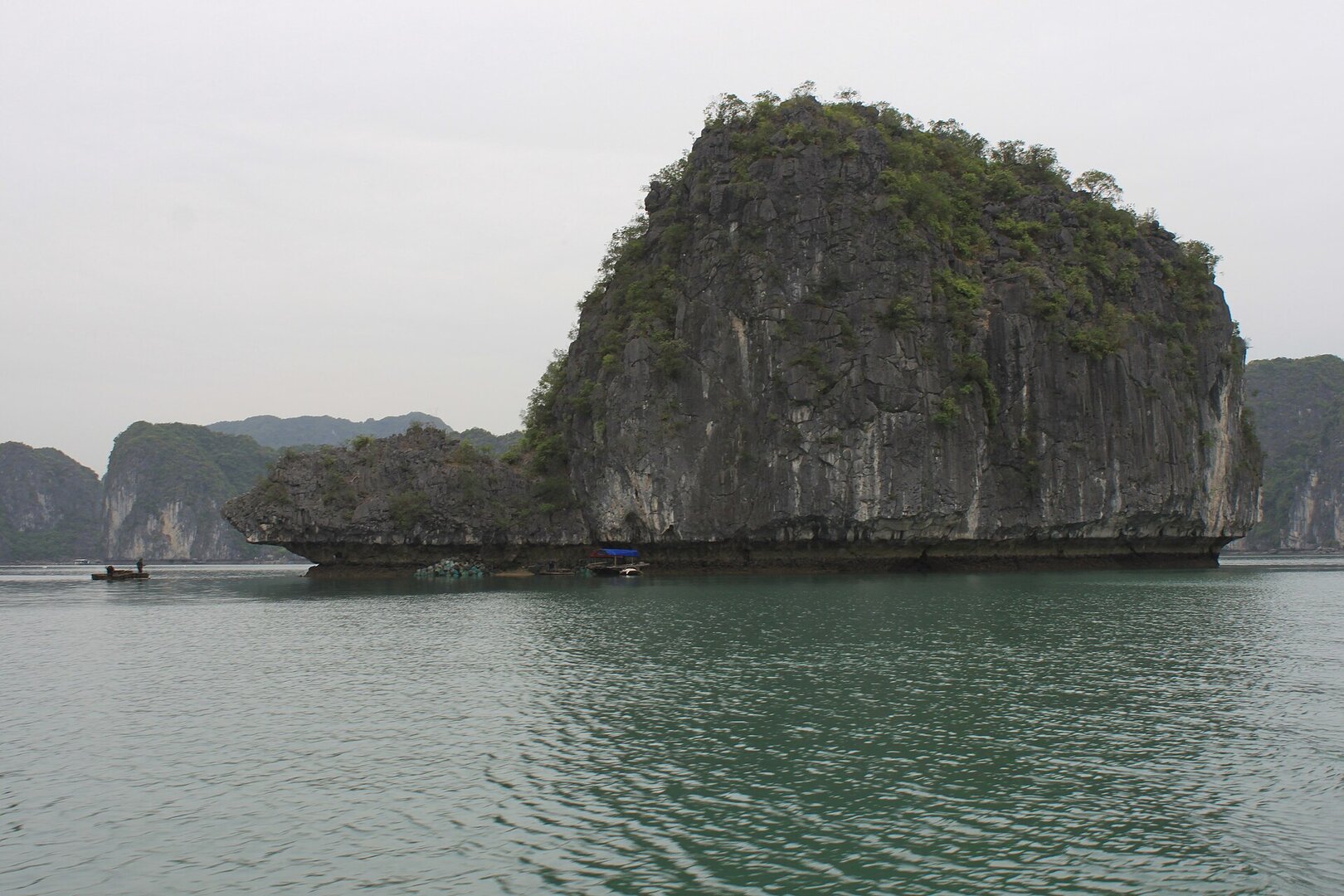
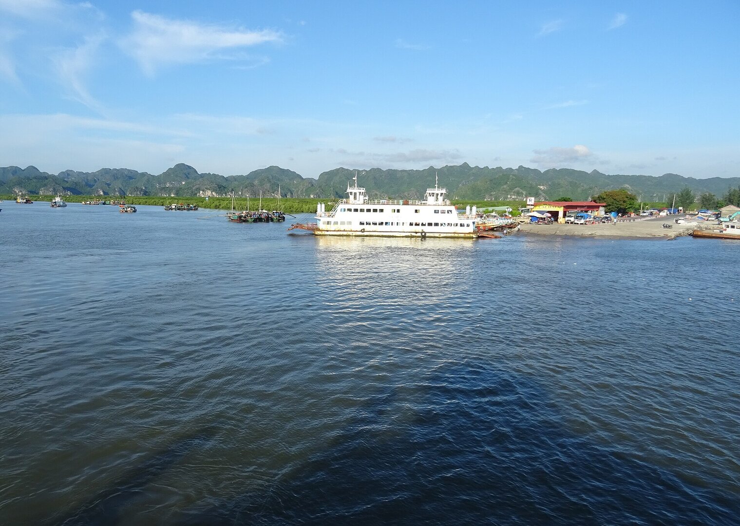
Photo: Tuyencabr · CC BY-SA 4.0
Cát Bà, Hải Phòng · Nature
Turtle Island
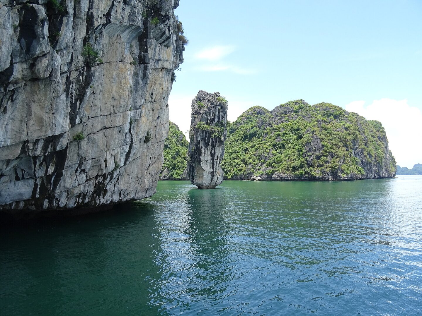
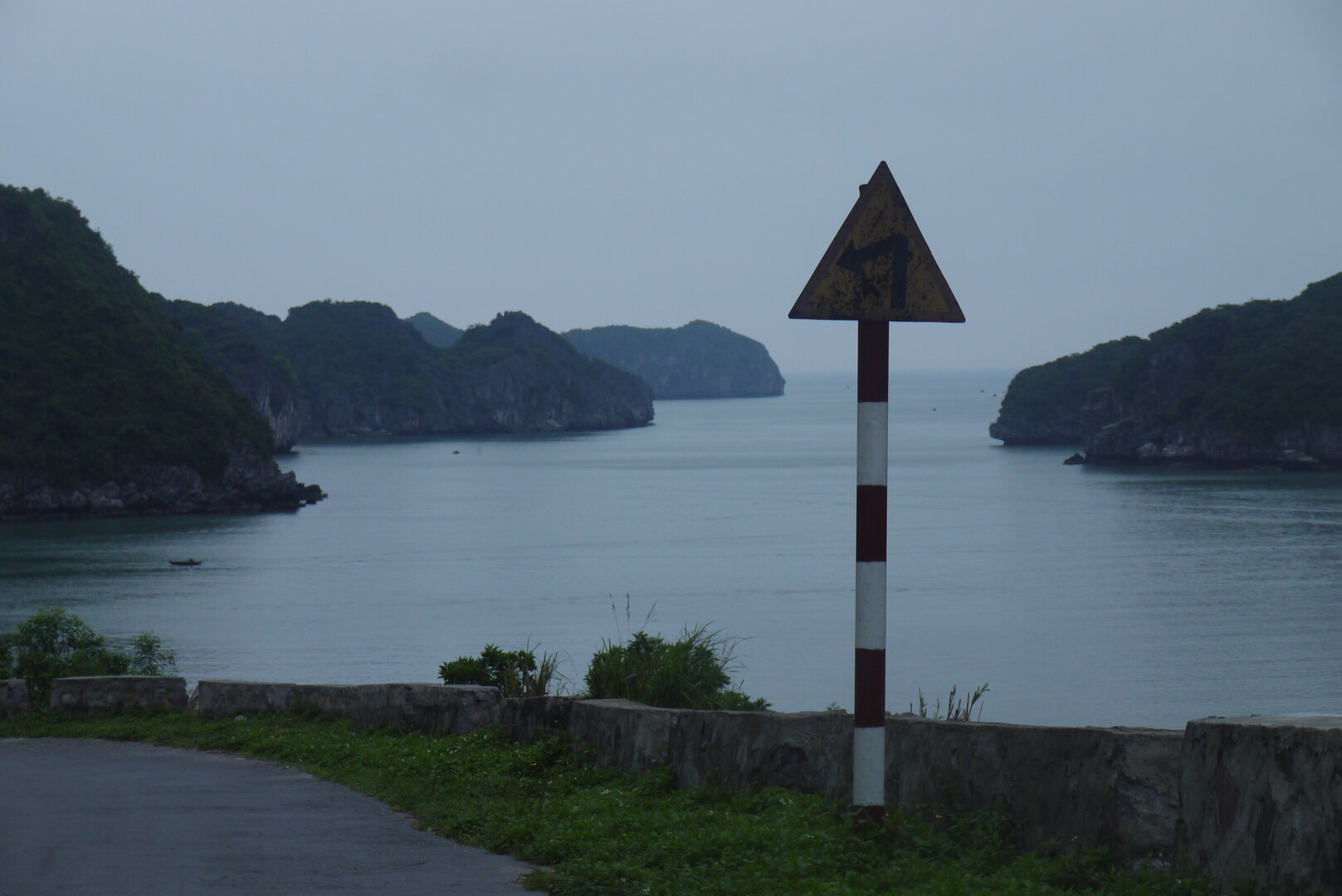
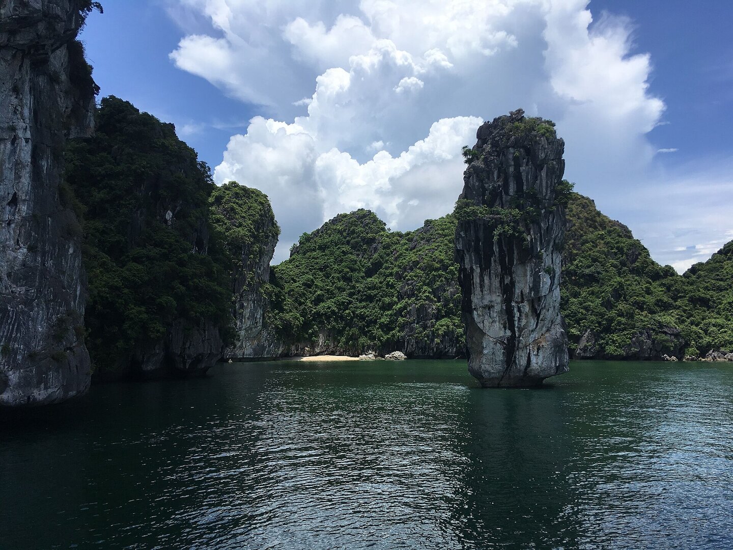
A small limestone islet in the middle of Lan Hạ bay shaped like a swimming turtle. Visitors view the island from boats on the way to Việt Hải fishing village; there are no service facilities on the island.
What people come for
Looking at and photographing the turtle-shaped island from a boat; Tiền Phong calls it one of the best souvenir-photo spots on the bay. Tour sites suggest photographing in early morning or late afternoon.
Getting there and around
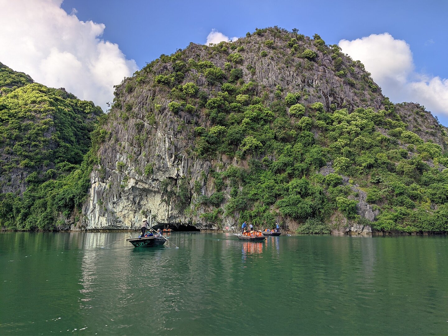
Reachable only by water. Hòn Rùa is a viewing stop on the Lan Hạ bay sightseeing boat routes, along with hang Sáng – hang Tối and the Cái Bèo fishing village, and lies close to the boat route from bến Bèo to the Việt Hải fishing village. Visitors on boats buy a bay sightseeing ticket at the counter of the Cát Bà Bays Management Board; Hòn Rùa has no separate ticket.
Before you go
Storms in Hải Phòng usually come from June to September (Vietnam Maritime Search and Rescue Coordination Centre). With each storm or tropical depression, the city orders tourist boats banned from going out to sea, such as the orders of 24 Sep 2025 and 21 Aug 2026. On days when the sea is rough, sightseeing boats usually do not leave the pier (mia.vn). In the north-wind season from November to April there are days when fog blocks visibility on the bay. No source says visitors can land or swim around the island, so treat this as a view from a boat.
What this place is
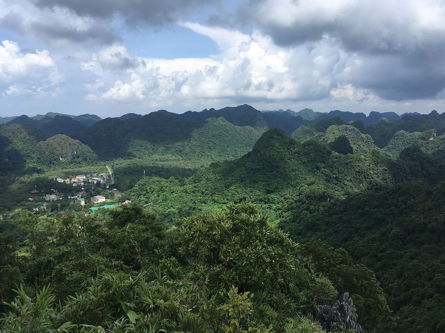
A small limestone islet capped with green trees in the middle of Lan Hạ bay, shaped like a turtle swimming on the sea surface. Local people named it after the shape of the island, as with nearby Hòn Guốc. The island belongs to the Cát Bà archipelago, part of the world natural heritage site Hạ Long Bay – Cát Bà Archipelago, recognised by UNESCO on 16 Sep 2023. There are no restaurants, resorts or service facilities on the island.
Busy and quiet times
Visitors view Hòn Rùa from cruise boats and day bay-tour boats, looking and taking photos right from the deck.
The story
A stone turtle, and the name people gave it
Hòn Rùa ("Turtle Islet"; hòn is the Vietnamese word for a small rocky island) is a small limestone islet in the middle of Lan Hạ Bay, part of the Cát Bà archipelago in Hải Phòng. It sits on the boat route from Bèo pier out to Việt Hải fishing village. From the water it looks like a turtle swimming. Its back is covered in green, like the other limestone islands around it. Can you spot the turtle before anyone tells you its name?
Vibe
Tags
Source
The location of Hòn Rùa comes from a Google Maps pin looked up by hand by the product owner. The boat route past the island was checked against the OpenStreetMap map (Việt Hải pier is about 2 km north of the pin), because the route description on the Maps page is only a review copied from a tour page. The turtle shape and the way locals named the islet follow Tạp chí Công Thương, checked against Tiền Phong (21 Sep 2026) and Báo Hải Phòng (19 Sep 2025). That there are no service facilities on the island follows catbaduky.vn. The place of Hòn Rùa in the sightseeing boat itinerary follows quangthangcatba.com and mia.vn. The story of visitors checking in from cruise ships follows Tiền Phong (2026). The bay sightseeing ticket follows VinWonders (Dec 2025), checked against VnBusiness (2018); no figure is given. The World Heritage title follows Báo Văn hóa. The storm season and the northeast monsoon season follow the Vietnam Maritime Search and Rescue Coordination Centre. The sea bans follow Báo Pháp luật (Sep 2025 and Aug 2026). The calm bay water thanks to sheltering islands follows the national tourism site vietnam.travel. Rejected: every sentence giving the island's direction ('south of the bay', 'just south of Cát Bà island', '5 km southeast'), because four sources give four different directions and all are off the true position; the height of 100 m; the number of islands in the bay (388, more than 300 or about 400); the claim that the turtle shape is a symbol or tourism brand of Cát Bà; seabirds and algae according to promotional writing; the tides of the Quảng Ninh sea area; and every distance or travel time. The English name 'Turtle Island' has no official source (Báo Hải Phòng writes 'Rua islet'). Still not established: the kayak service on the Cát Bà bays has been suspended since 15 Nov 2024 (Người Quan Sát, 21 Nov 2024) and no document lifting the ban has been found; whether the island lies in the core zone or the buffer zone of the heritage site and Cát Bà National Park; whether visitors can go ashore; underwater safety around the island. Photo: Tuyencabr, CC BY-SA 4.0, Wikimedia Commons.
Place data is compiled from many sources across the internet by a team of automated AI agents that collect, enrich, check, challenge, score, edit, review and verify it.

Ratings & comments
Anyone can read. Sign in to rate, comment and like.