Cát Bà, Hải Phòng · Religious site
Mau Hai Ha Gia Luan Temple
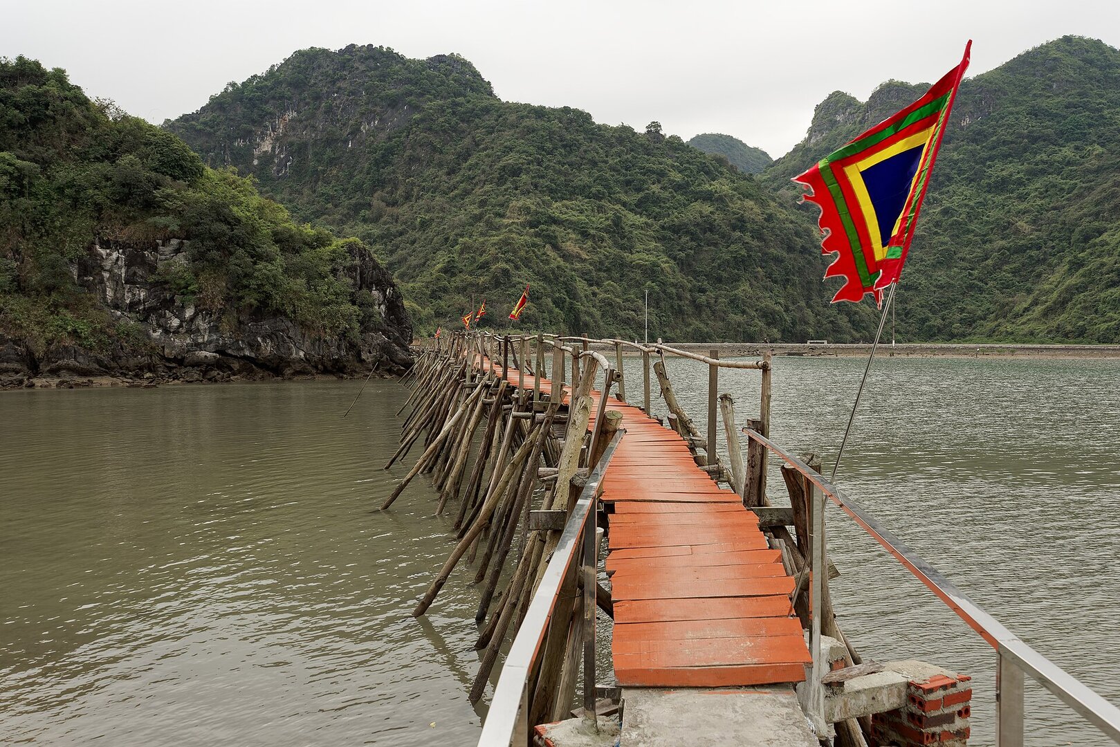
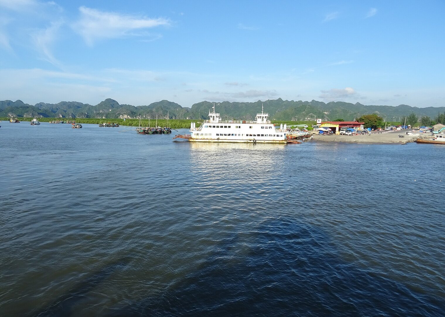
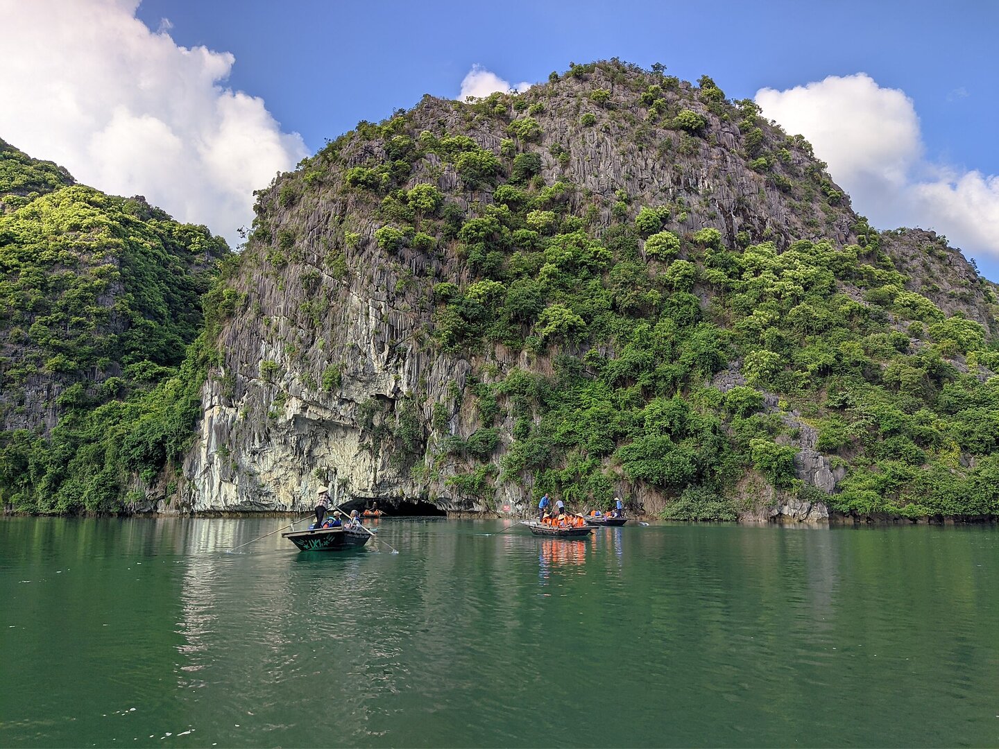
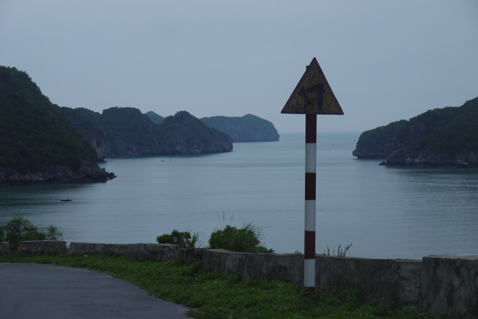
Picture the road to the Gia Luận ferry landing on the northern side of Cát Bà Island: right at its edge, a few small steps lead down to a bridge that runs across the water, and at its end a small temple tucked against a cliff.
Picture the road to the Gia Luận ferry landing on the northern side of Cát Bà Island: right at its edge, a few small steps lead down to a bridge that runs across the water, and at its end a small temple tucked against a cliff. If you have ever come to or left Cát Bà through this ferry landing, you may have passed the way down without noticing. This is Thiên Quốc Mẫu Hà temple — a shrine of Mother Goddess worship (thờ Mẫu) bound up with the spiritual life of Gia Luận's fishing community, its back to the forest, its face to the bay.
Before every voyage, incense at Gia Luận
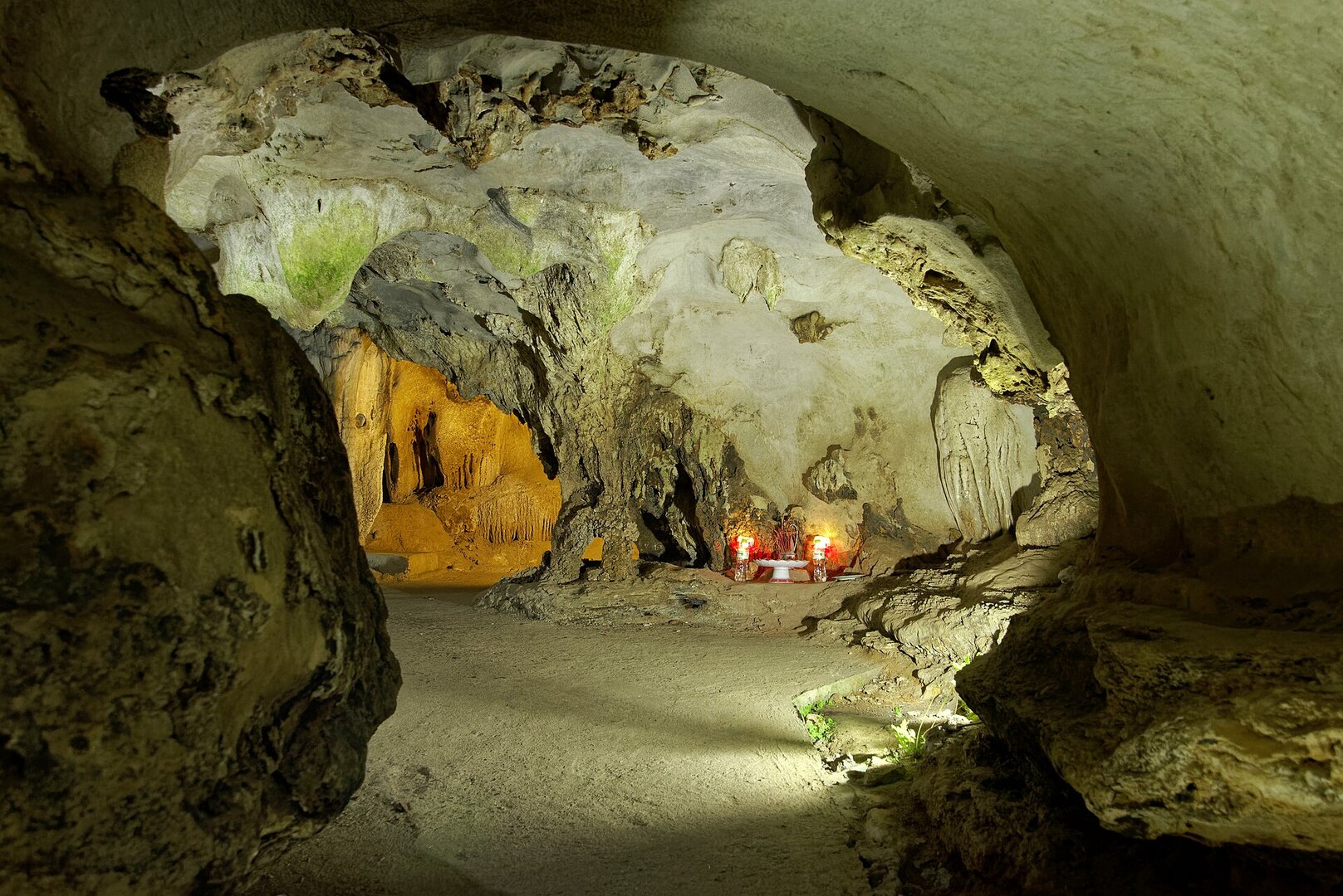
The temple's story begins with a sinking boat. Folk legend tells of nine sisters sailing a dragon boat through the northeastern sea when a storm struck. The eldest drifted to the Đầu Bê islands, where locals built the Bà Men shrine; the second drifted to Làng Hạ, home to the Vua Bà temple; the third drifted to the Gia Luận estuary. It is said that where her body washed ashore the ground rose into a large mound, and seafarers built her a grave in a small rock cave near the shore. An old grave still stands within the temple grounds today.
Have you ever wondered what a temple born from a shipwreck still means to people who fish for a living today? The people of Gia Luận answer with habit: they still come to burn incense before every trip out to sea, and on the first day of each lunar month, praying for good fortune and safe passage. The temple sits near the boat landing, facing the estuary — right where fishermen begin and end each working voyage. Here, Mother Goddess worship blends with the sea-deity beliefs of communities along the Gulf of Tonkin (vịnh Bắc Bộ), which is why the shrine is modest rather than grand. And people keep caring for it: in 2012, residents from the commune and beyond pooled money to restore and tidy the temple.
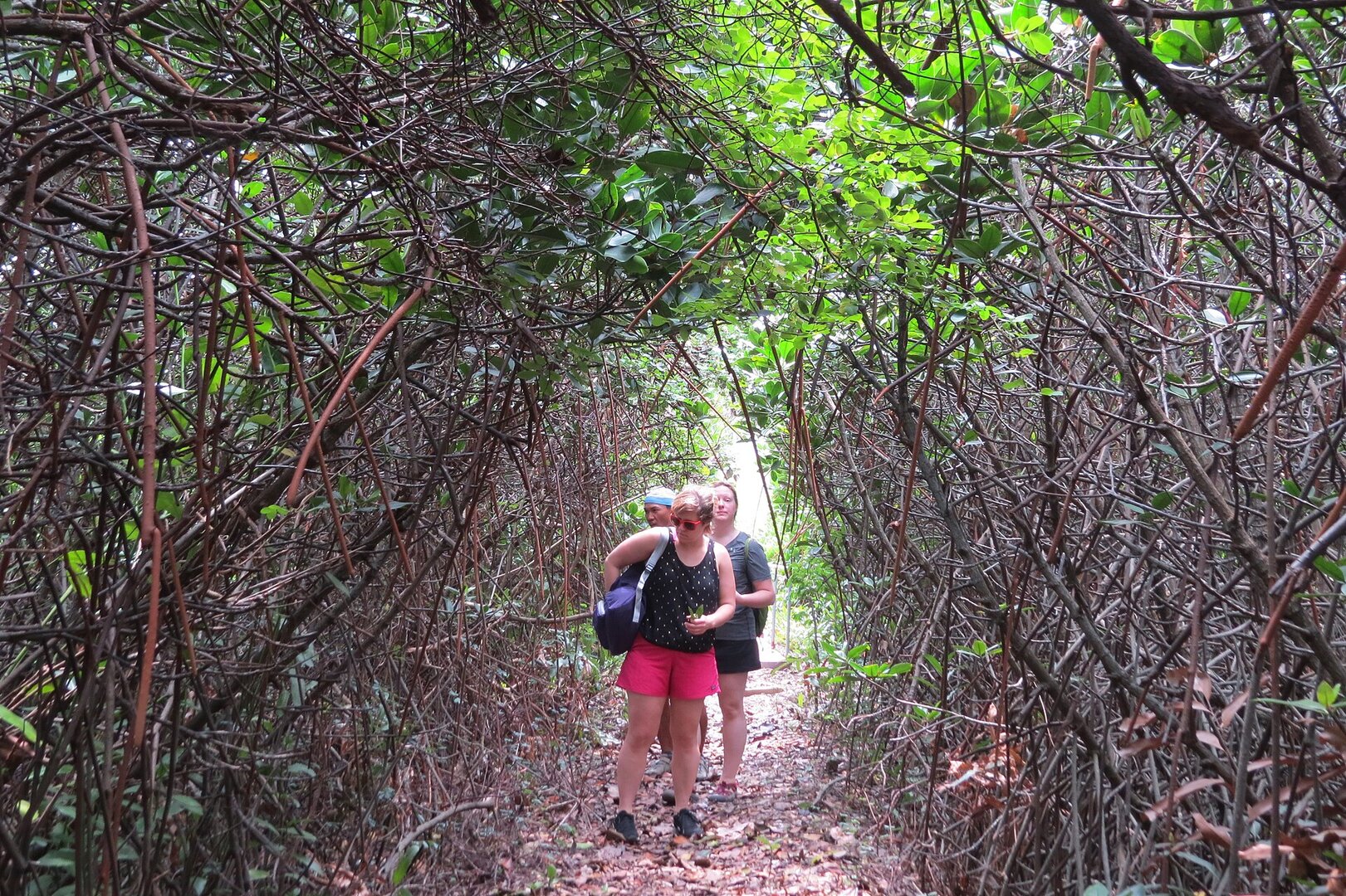
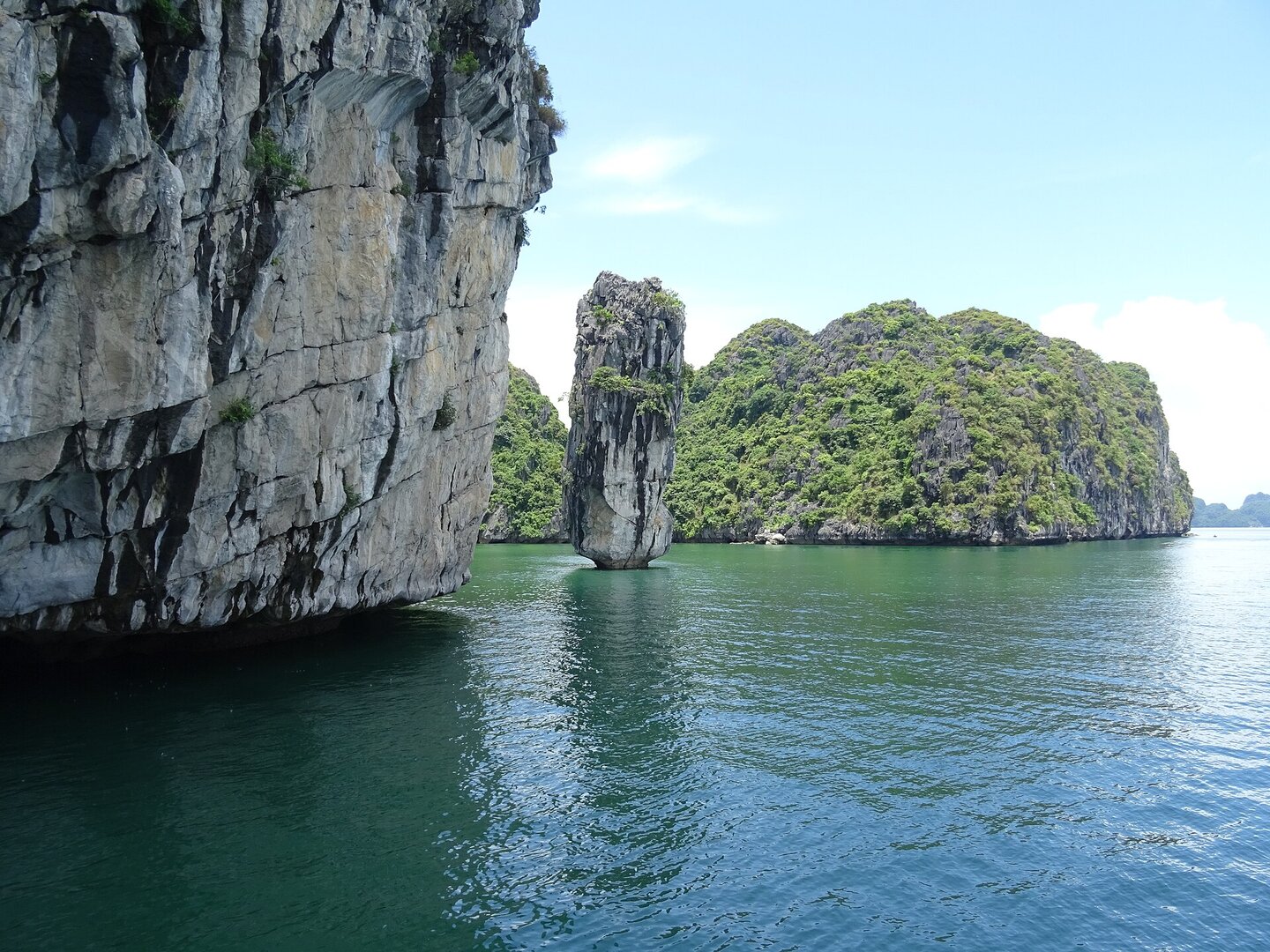
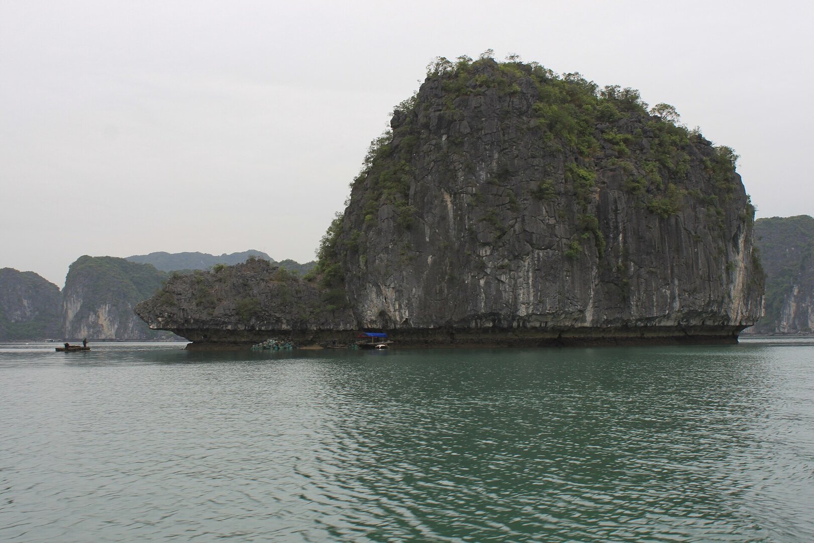
The bridge out to the temple was completed in 2014, and many visitors say the bridge itself is the best part. Partly concrete, partly wooden piles and planks, it skirts the foot of the rock mountain and then curves out to sea, across mangroves and coastal marsh. At high tide it feels like walking across the bay itself; at low tide the mudflats show, and you can spot crabs instead. The young woman of the legend came ashore from a sinking boat; today, seafarers still come to her before they leave shore. And you — walking that bridge between the bay and the cliff, what would you bring to pray for?
Photographs
4 of 4 on fileEnough to decide whether to go
- What it is
- A Mother Goddess temple of the Gia Luận fishing community
- Where
- Near the Gia Luận ferry landing, northern Cát Bà Island, Hải Phòng
- Also known as
- Đền Mẫu Hải Hà Gia Luận
- Most worth seeing
- The bridge across the water and mangroves; the old grave in the grounds
- Main festival
- 3rd day of the 3rd lunar month
- Tickets
- No ticket sold; a sign asks for donations to maintain the bridge
From someone who has been
Come at high tide, ideally early in the morning. Park by the roadside and take the steps down to the start of the bridge. The bridge is narrow, with stretches of wooden piles and planks: walk slowly and keep small children close. The shrine hall is not always open — sometimes you can only bow from outside and look in through the glass doors.
Vibe
Tags
Source
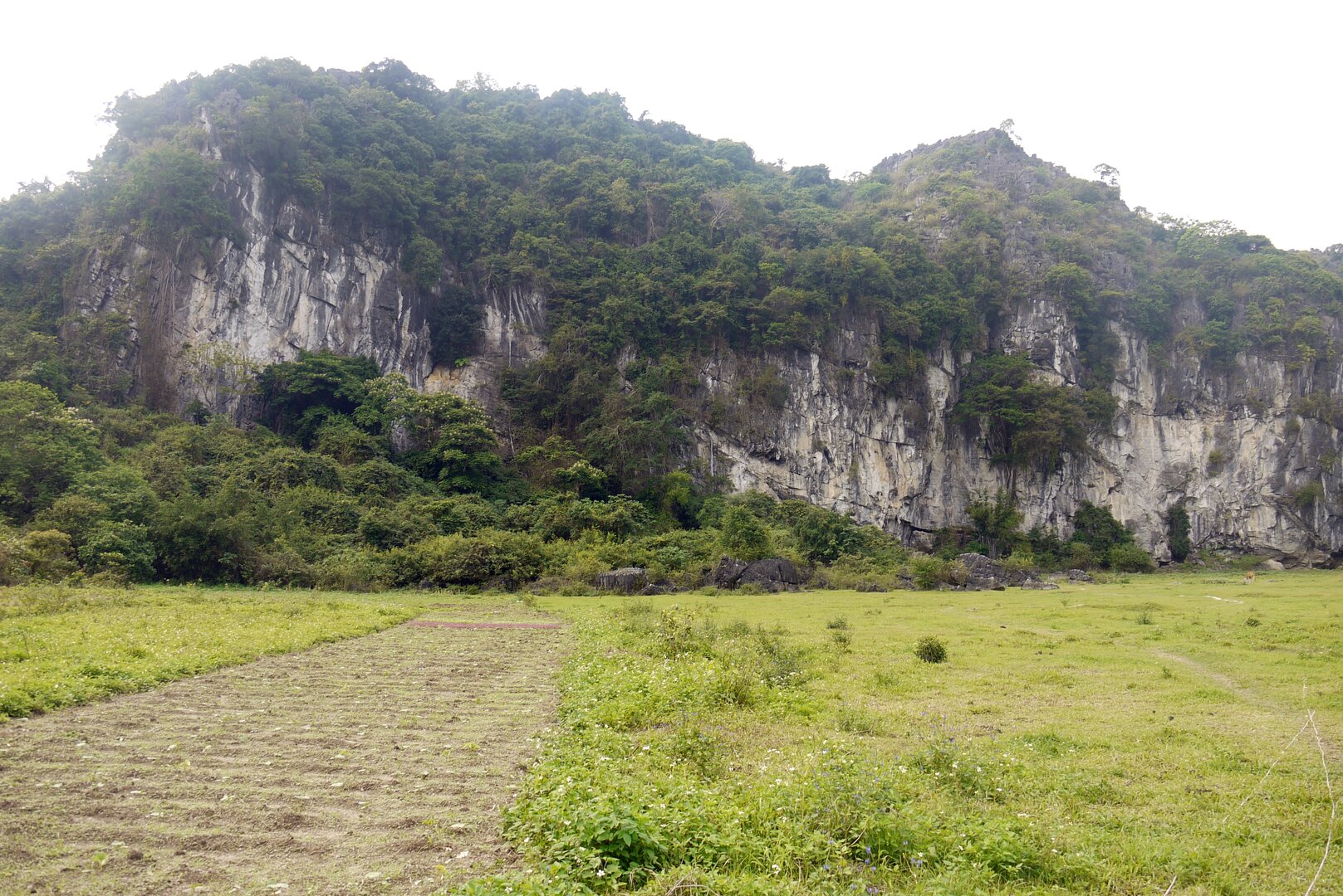
The location, the legend of the nine sisters, the ancient tomb, the religious significance, the main festival on the 3rd day of the 3rd lunar month, the 2012 renovation and the access bridge completed in 2014 come from the article 'Đền Thiên quốc Mẫu Hà Gia Luận: Dấu ấn tín ngưỡng biển đảo vùng Đông Bắc' on the Cát Hải special zone portal (17 Feb 2026). This article is a compilation, not a research work. The custom of burning incense before a sea trip and the story of building a tomb in a rock cave come from the Cát Bà tourism portal (an old article, undated, only the summary could be read). The state of the bridge, the tidal rhythm, the way down from the road, the shrine sometimes being locked and the sign asking for donations to maintain the bridge come from guest reviews on Google Maps (2025–2026, read in Oct 2026). These are user opinions and may have changed. Left out: the figure of 2.5 km (two state sources speak of two different measuring points); the length of the bridge (sources give 200 m, 250 m and 'nearly 1 km'); the marker 'end of the 19th century' (that is a time within the legend, not the year the temple was built); the cause of the tomb mound's formation (one version says deposited sand, another says termites); the description of a wooden gate and moss-covered tile roof (only one blog says so). No source gives the year the temple was founded or the monument ranking decision. Photo: Jakub Hałun, CC BY 4.0, Wikimedia Commons, taken 30 Jan 2024.
Place data is compiled from many sources across the internet by a team of automated AI agents that collect, enrich, check, challenge, score, edit, review and verify it.




Ratings & comments
Anyone can read. Sign in to rate, comment and like.