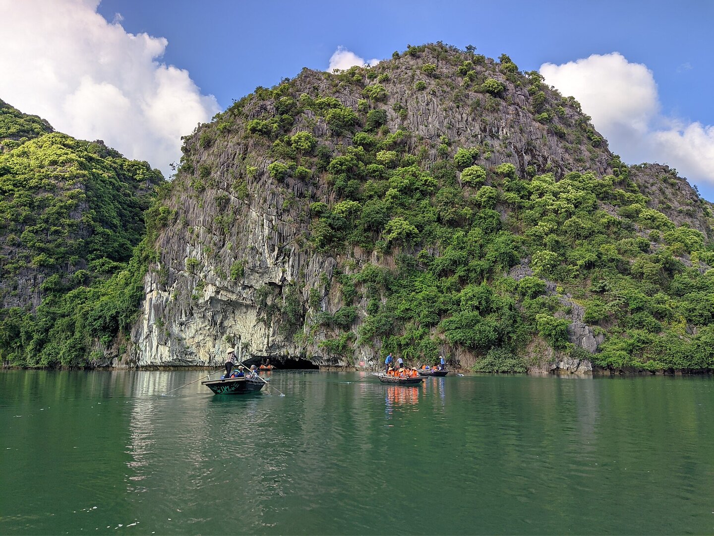
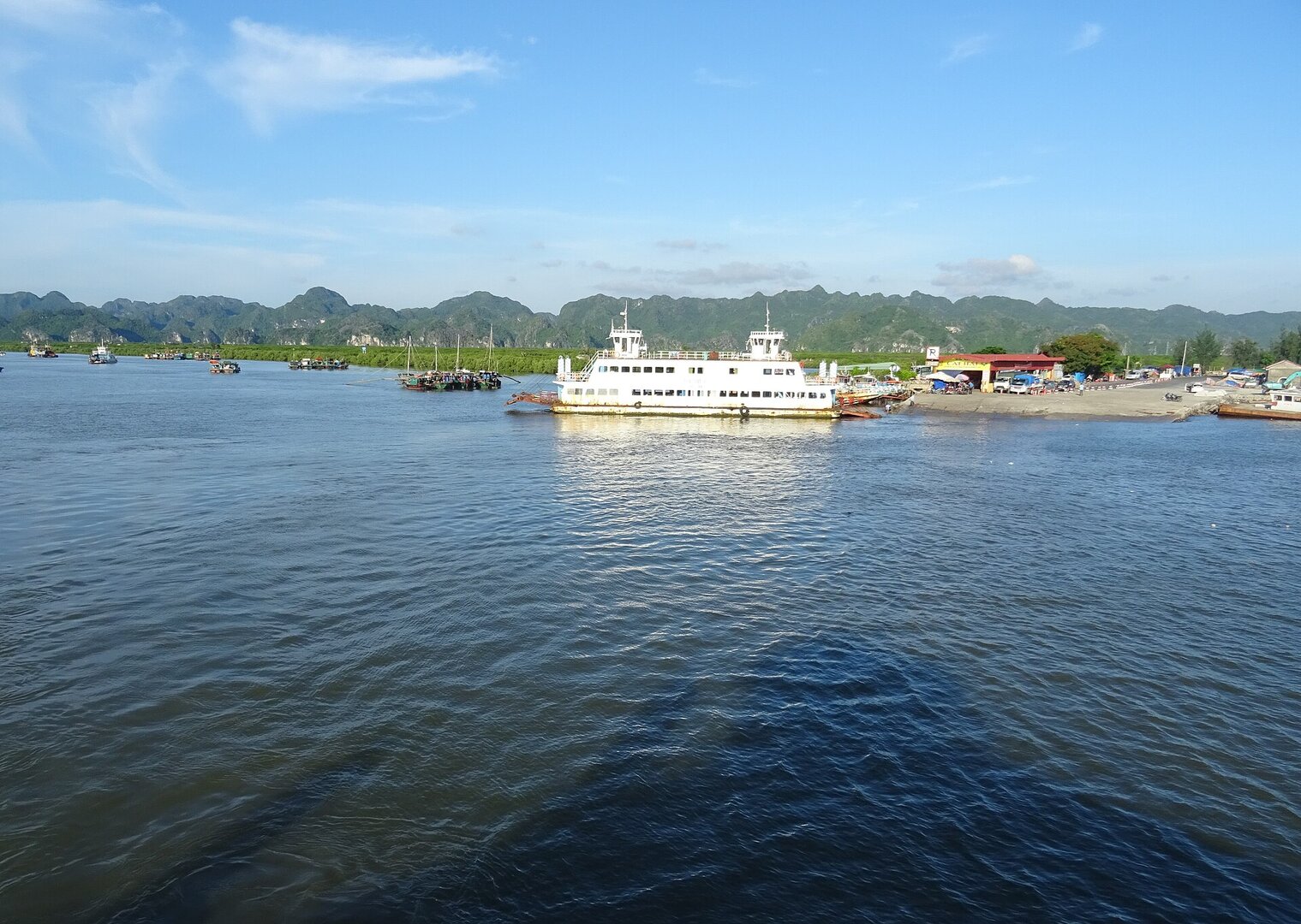
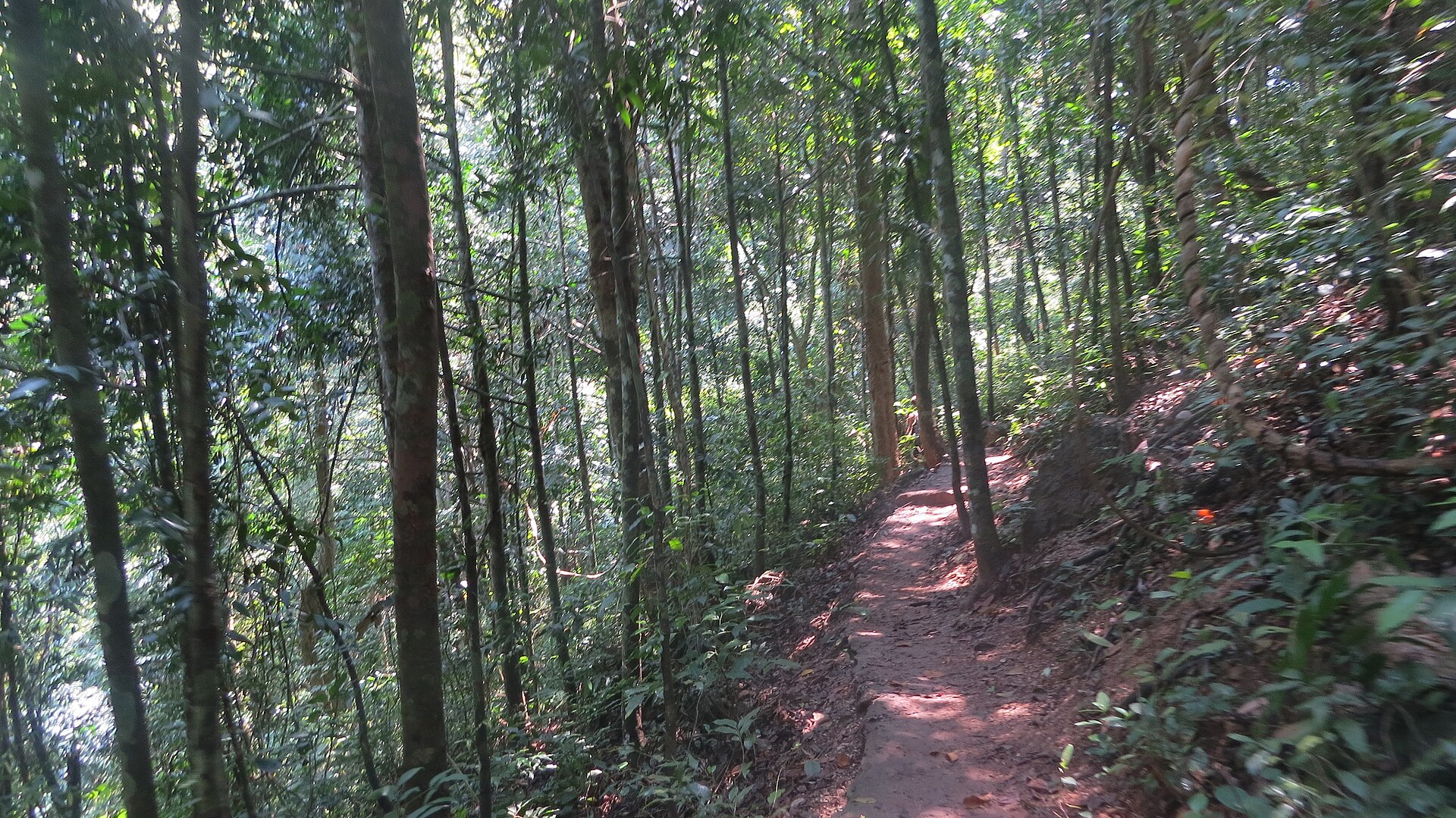
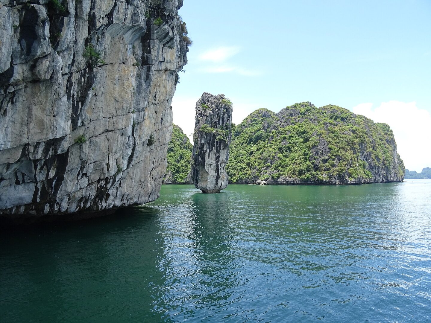
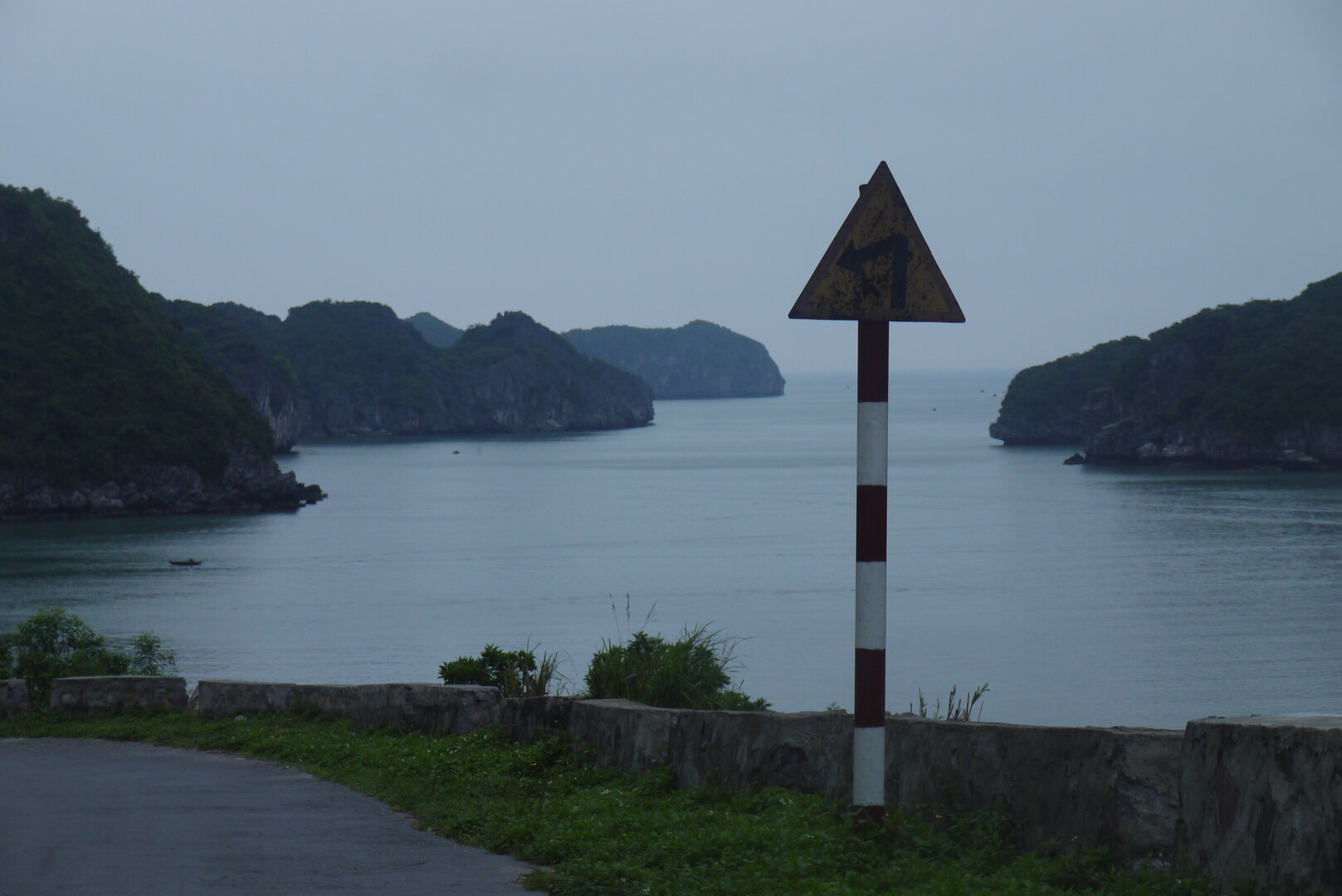
Photo: Shyamal · CC BY-SA 4.0
Cát Bà, Hải Phòng · Nature
Bright Cave
Picture the limestone towers of Hạ Long Bay that almost everyone has seen in photos, then cross into neighbouring Lan Hạ Bay, to a stone arch so low that the big boats have to stop outside.
What people come for
People come to sit in a boat that slips through the cave out into the enclosed lagoon. On the cave walls are fossil shells set in the rock, and you may see monkeys climbing on the walls around the lagoon. This source describes the place as far quieter and more secluded than Hang Luồn on the Hạ Long bay side.
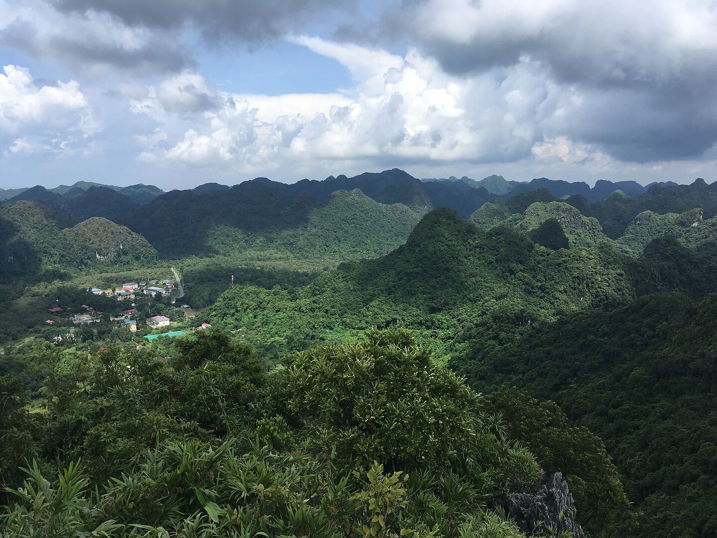
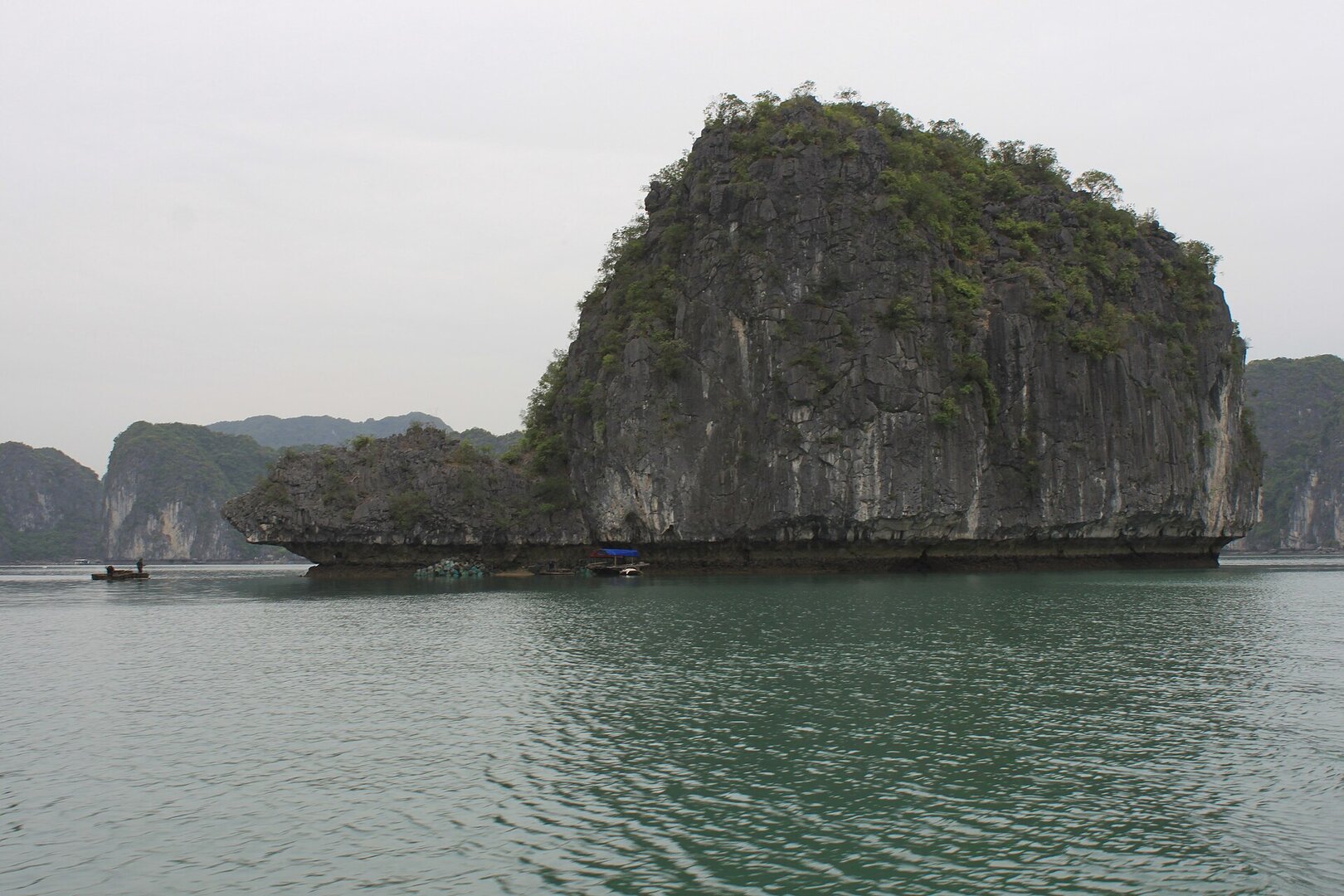
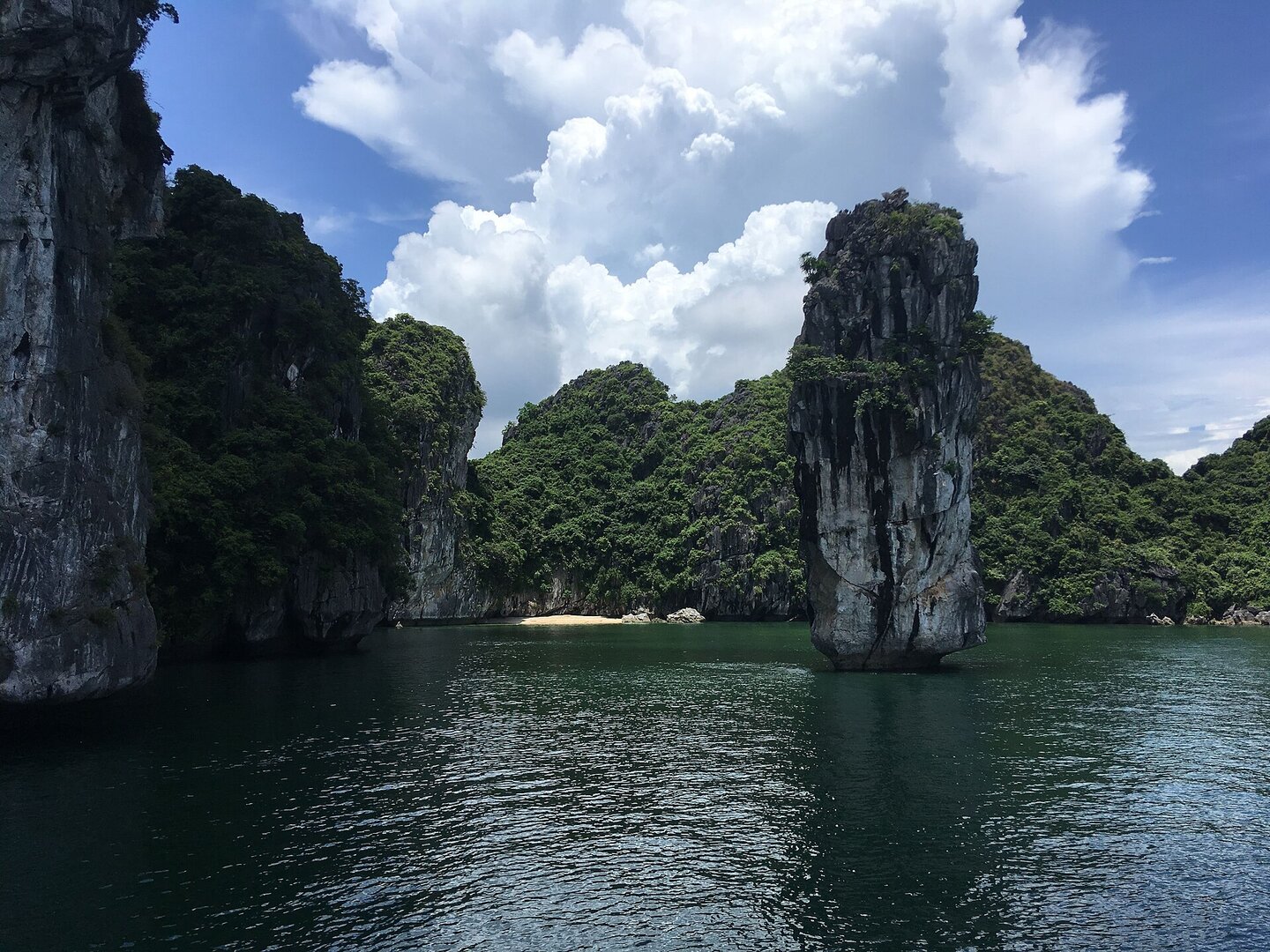
Muralikrishna m · CC BY-SA 4.0 · source
Getting there and around
Reachable only by water, usually on a cruise to Lan Hạ bay departing from Hạ Long or from Bến Bèo, Cát Bà. Large boats cannot enter because the cave ceiling is low, so guests transfer to a rowed bamboo boat or a kayak, depending on the operator. The cave entry fee is usually included in the tour price; independent visitors usually pay a small fee, and life jackets are provided.
Before you go
Hang Tối (Dark Cave) can only be passed at low tide so it is often closed when the water is high; Hang Sáng (Bright Cave) is the way in. This sea area has a diurnal tide, with the water level rising and falling by 3–4 m in a day (VMRCC, hydro-climatic characteristics of the Gulf of Tonkin). Since 15 Nov 2024 there has been an order temporarily suspending kayaking in the bays of the Cát Bà archipelago. No document lifting it has been found, so ask the tour operator before you go. Storms usually arrive in June–September; when there is a storm, the port authority stops issuing departure permits to passenger boats, as in the Wipha storm from 20 Jul 2025 (Ministry of Culture, Sports and Tourism). In winter the islands around here are often foggy (VMRCC). Go on a clear, windless day. Wear a life jacket, keep valuables in a waterproof bag, do not touch the rock formations, do not disturb the monkeys, and take your rubbish with you.
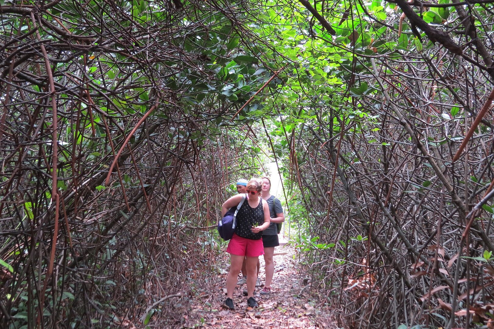
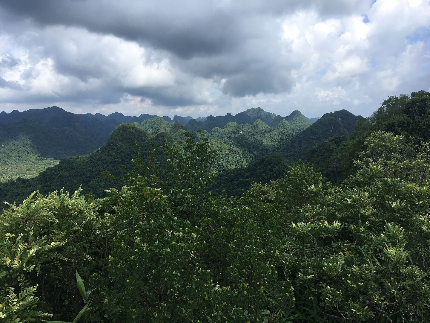
Muralikrishna m · CC BY-SA 4.0 · source
What this place is
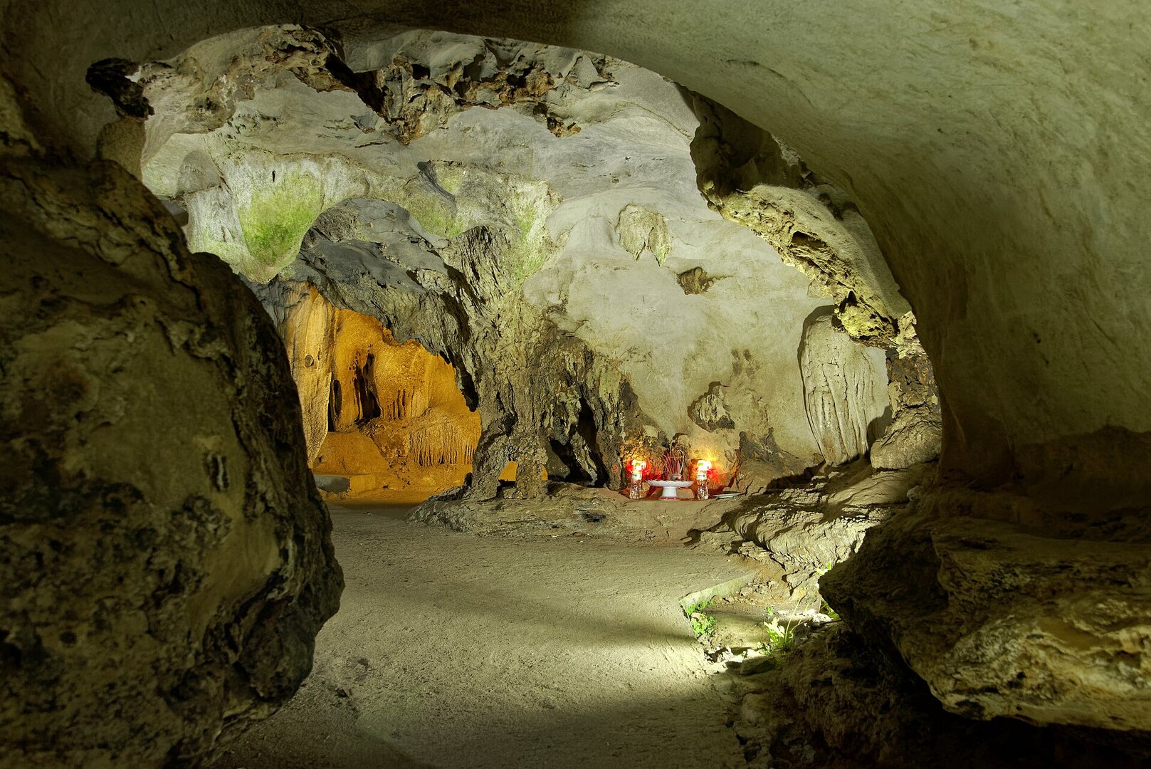
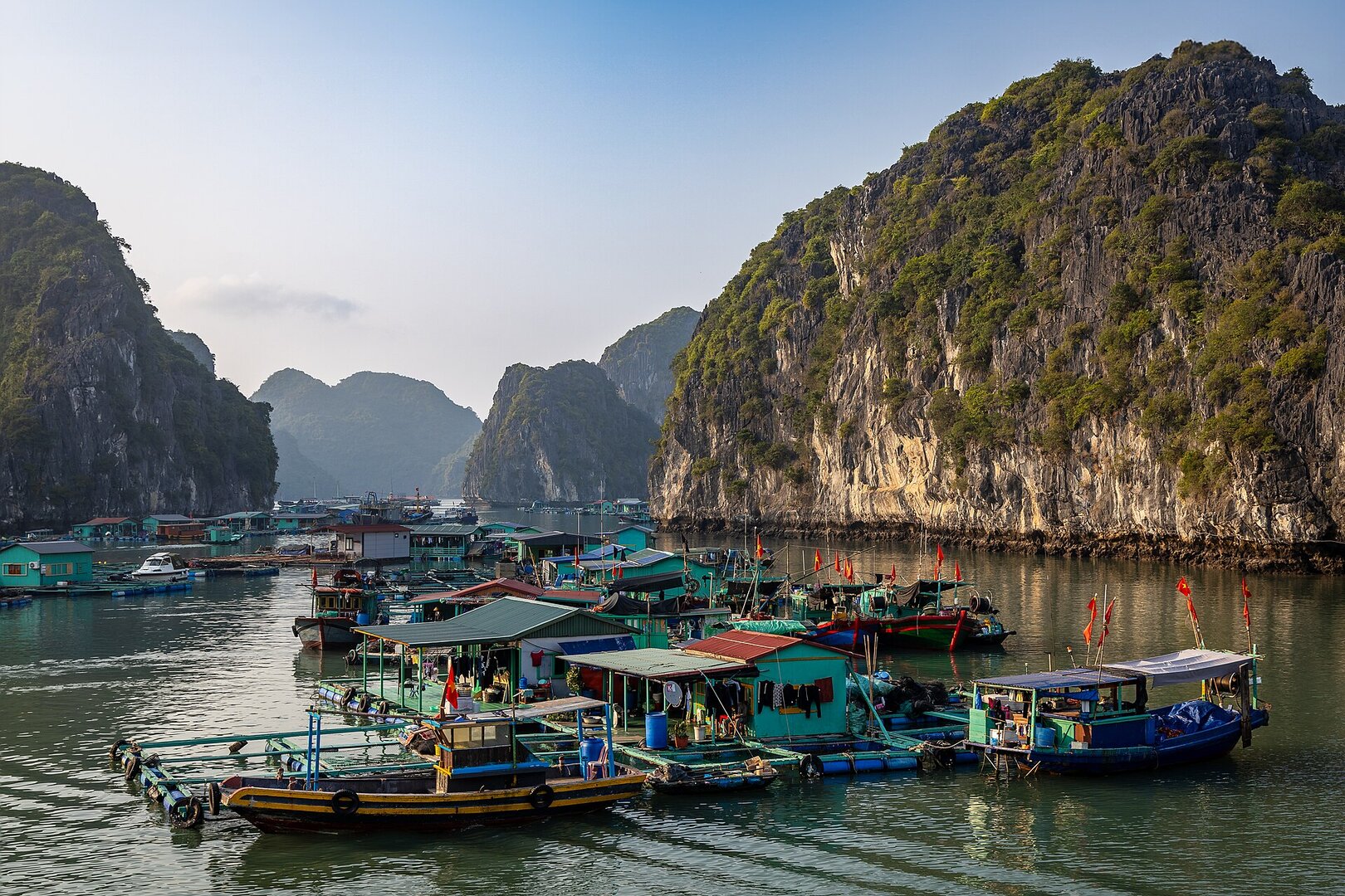
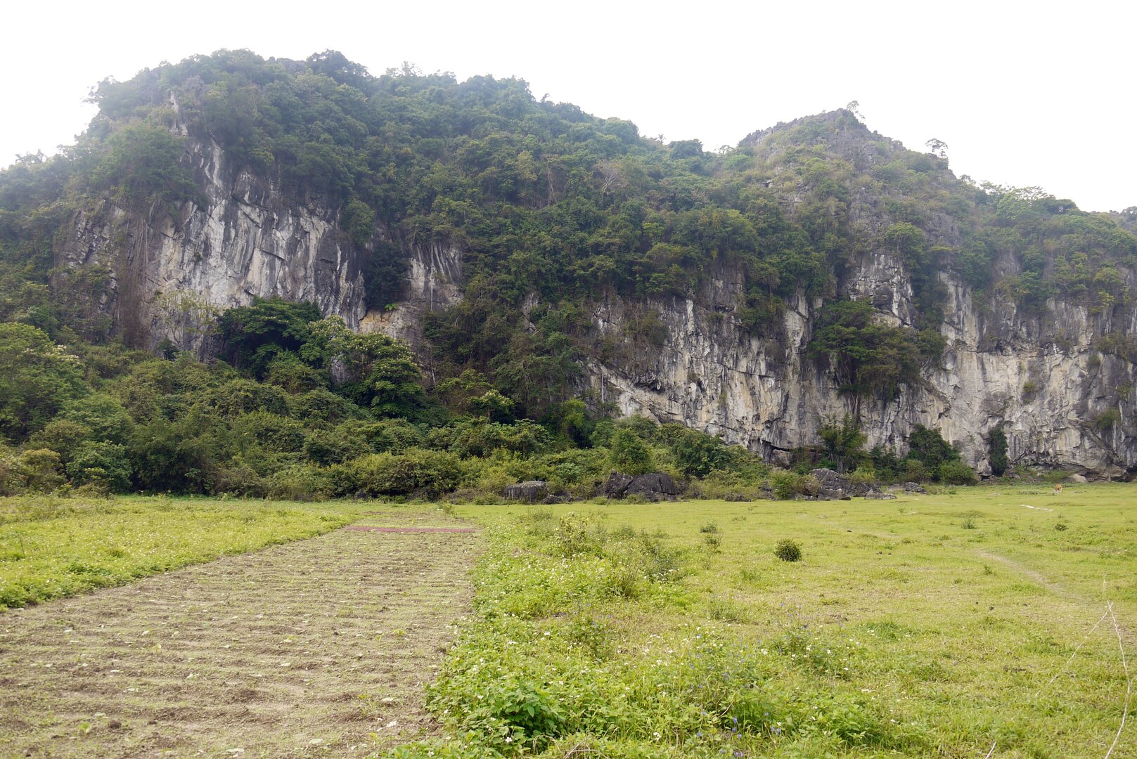
Hang Sáng is a water cave running through a limestone mountain in Lan Hạ bay, Cát Bà archipelago, where it borders Hạ Long bay. The cave floor is flooded with sea water, natural light comes in through gaps in the ceiling, and at the end of the cave you come out into an enclosed lagoon whose limestone walls rise straight from the still water, covered in orchids and greenery. The neighbouring Hang Tối is narrow, with only a few small light gaps.
Busy and quiet times
Usually one stop on a group bay-cruise tour. The time slot for paddling into the cave is arranged by the tour operator, and guests do not choose it.
Photographs
Christophe95 · CC BY-SA 4.0 · source
The story
Hang Sáng: Shells in the Wall, Oars on the Water
Picture the limestone towers of Hạ Long Bay, an image almost everyone has seen in photos. Now move to Lan Hạ Bay, which borders Hạ Long Bay, and to a limestone mountain with a passage running right through it. The floor of the cave is seawater. The rock ceiling sits just above the surface. Daylight slips in through gaps in the roof, which is why it is called Hang Sáng — "Bright Cave" — one half of the pair known as Hang Sáng – Hang Tối, the Bright and Dark Caves.
Vibe
Tags
Source
The description of the cave, the enclosed lagoon, the way in by basket boat, the fee that is usually included in tours, the fact that Hang Tối can be passed only at low tide, and the safety and conservation advice come from an article by Local Vietnam (19 Jun 2026). The names Hang Sáng – Hang Tối (Bright Cave – Dark Cave) and the light entering through the cave ceiling come from the page of the cruise operator Bai Tho Junks (23 Feb 2024). The position in Lan Hạ bay and the departure pier come from the guide on mia.vn (22 Sep 2023). The tidal regime, wind season, storm season and fog come from the page on the hydro-climatic characteristics of the Gulf of Tonkin of the Vietnam Maritime Search and Rescue Coordination Centre (VMRCC). The halt of boat licensing during storms comes from a notice of the Ministry of Culture, Sports and Tourism (21 Jul 2025). The suspension of kayaking from 15 Nov 2024 follows Tuổi Trẻ, VnExpress and Dân trí; no document lifting it has been found. That the Cát Bà archipelago has been a UNESCO Biosphere Reserve since 2004 follows Wikipedia. The cave dimension figures (nearly 100 m, under 80 m, 3 m high, 4 m wide) were rejected because sources differ and none gives a measurement. The story of Cát Bà langurs in the cave was rejected because only one blog says so. Swimming in the enclosed lagoon was rejected because there is no safety or rescue source. 'Best season' was rejected because only tour sellers say it, and the season they recommend overlaps the storm season. Photos are from Wikimedia Commons, with the author and licence stated on each photo.
Place data is compiled from many sources across the internet by a team of automated AI agents that collect, enrich, check, challenge, score, edit, review and verify it.
Ratings & comments
Anyone can read. Sign in to rate, comment and like.