Cát Bà, Hải Phòng · Nature
Tung Thu Beach
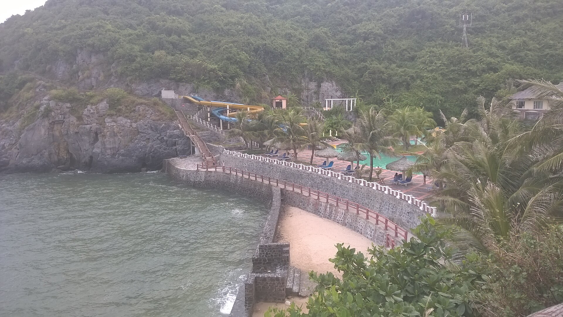
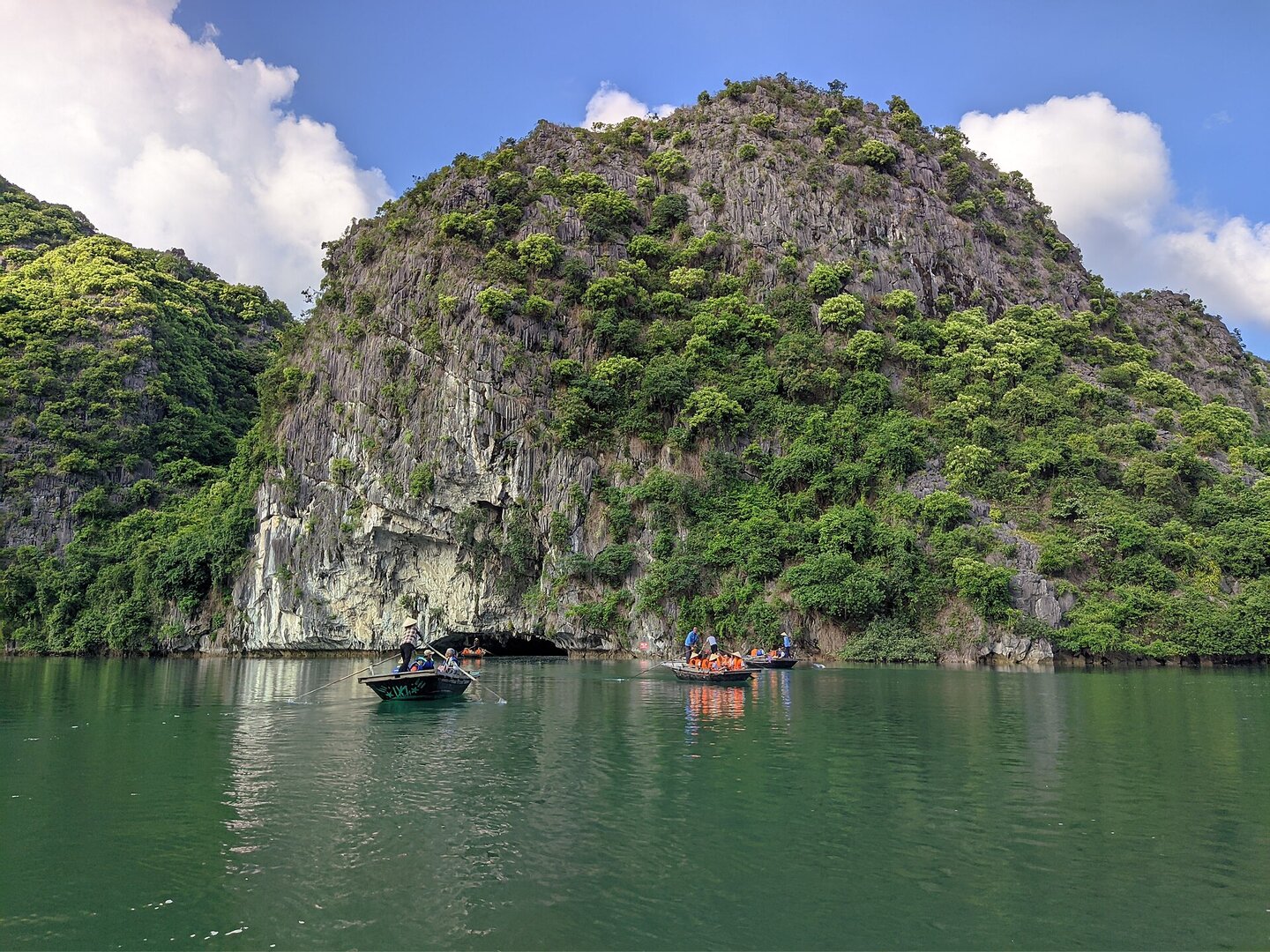
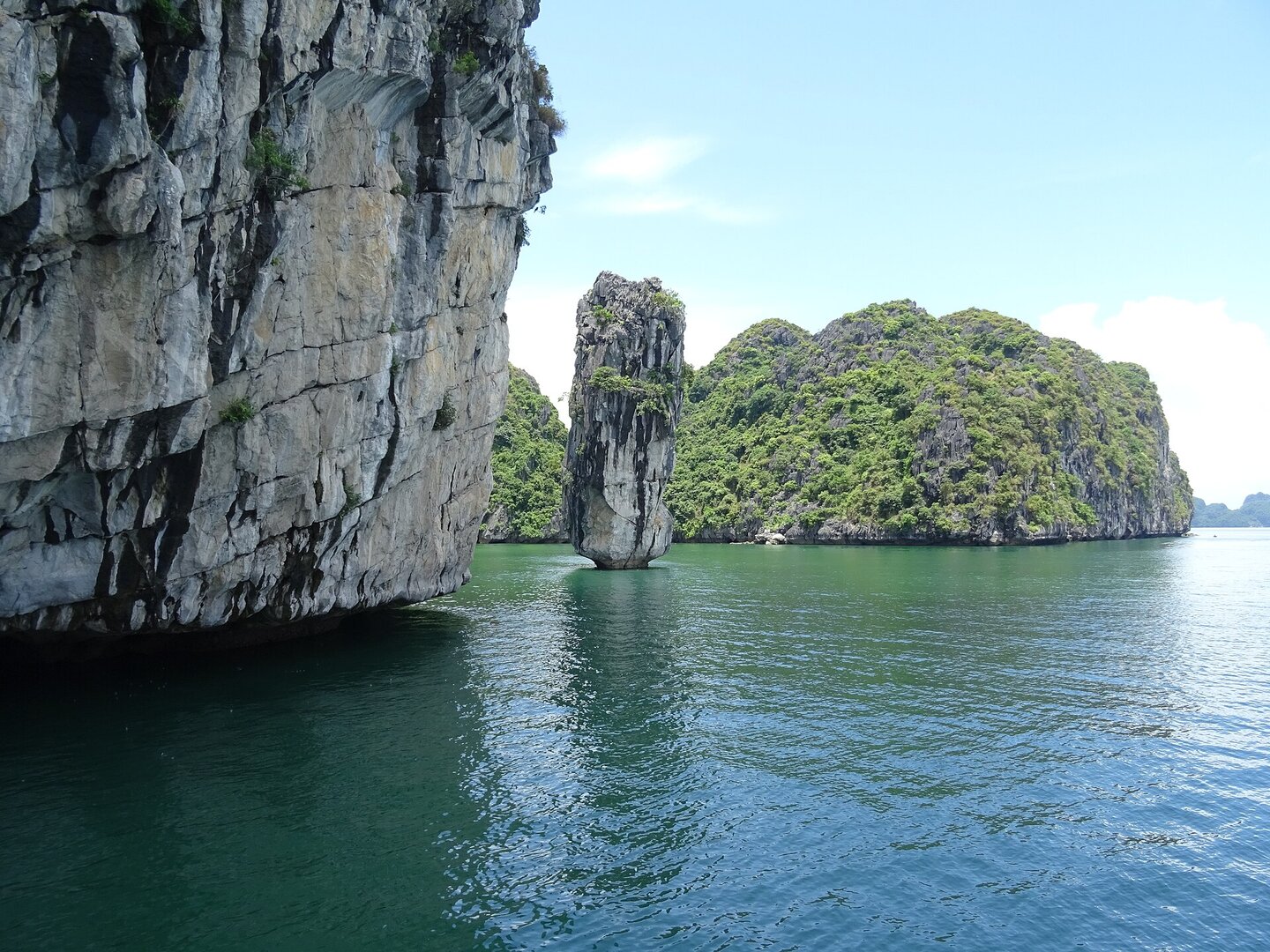
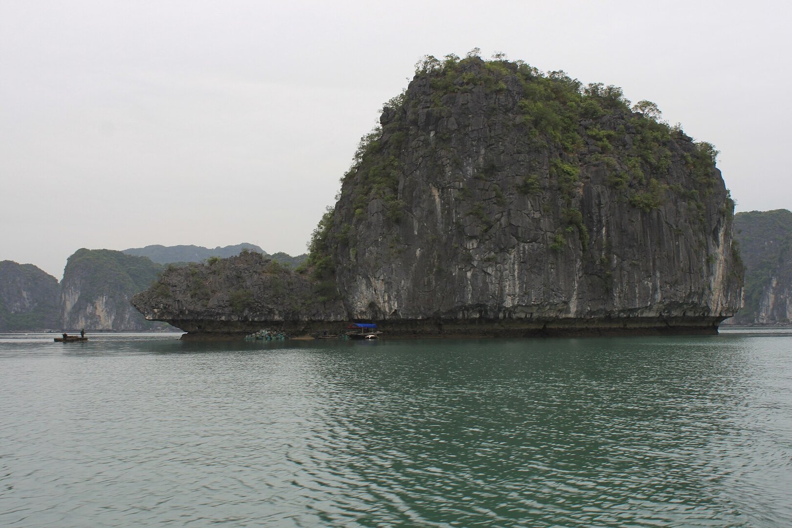
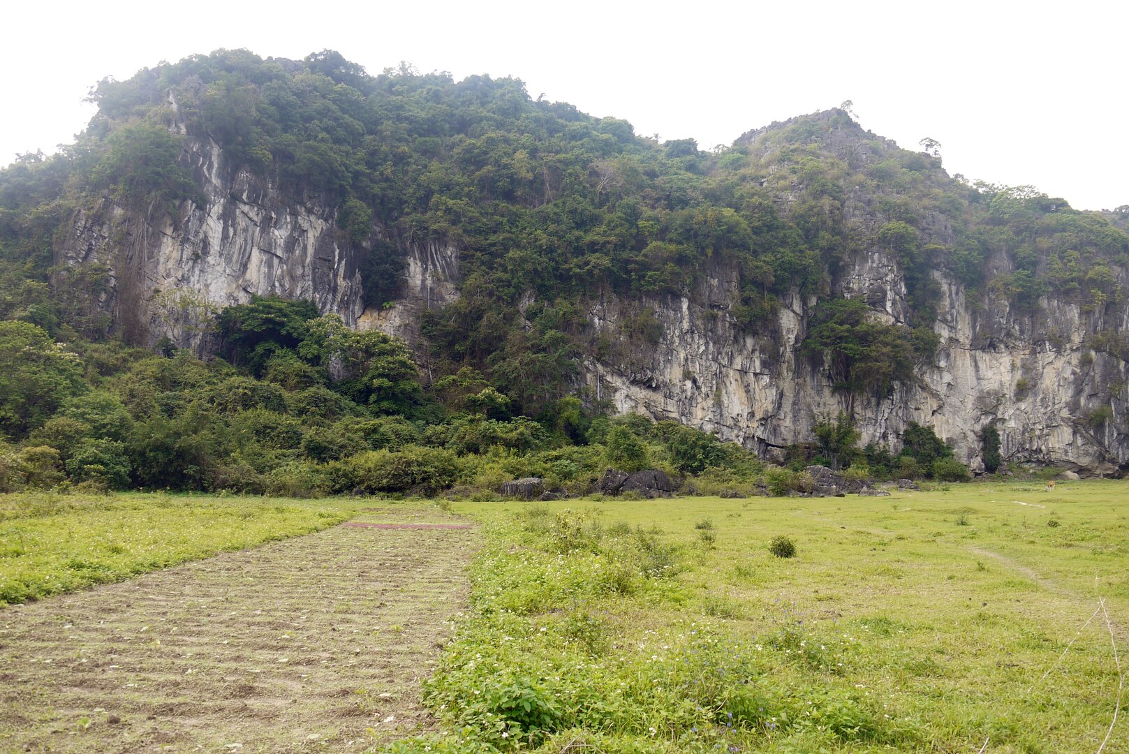
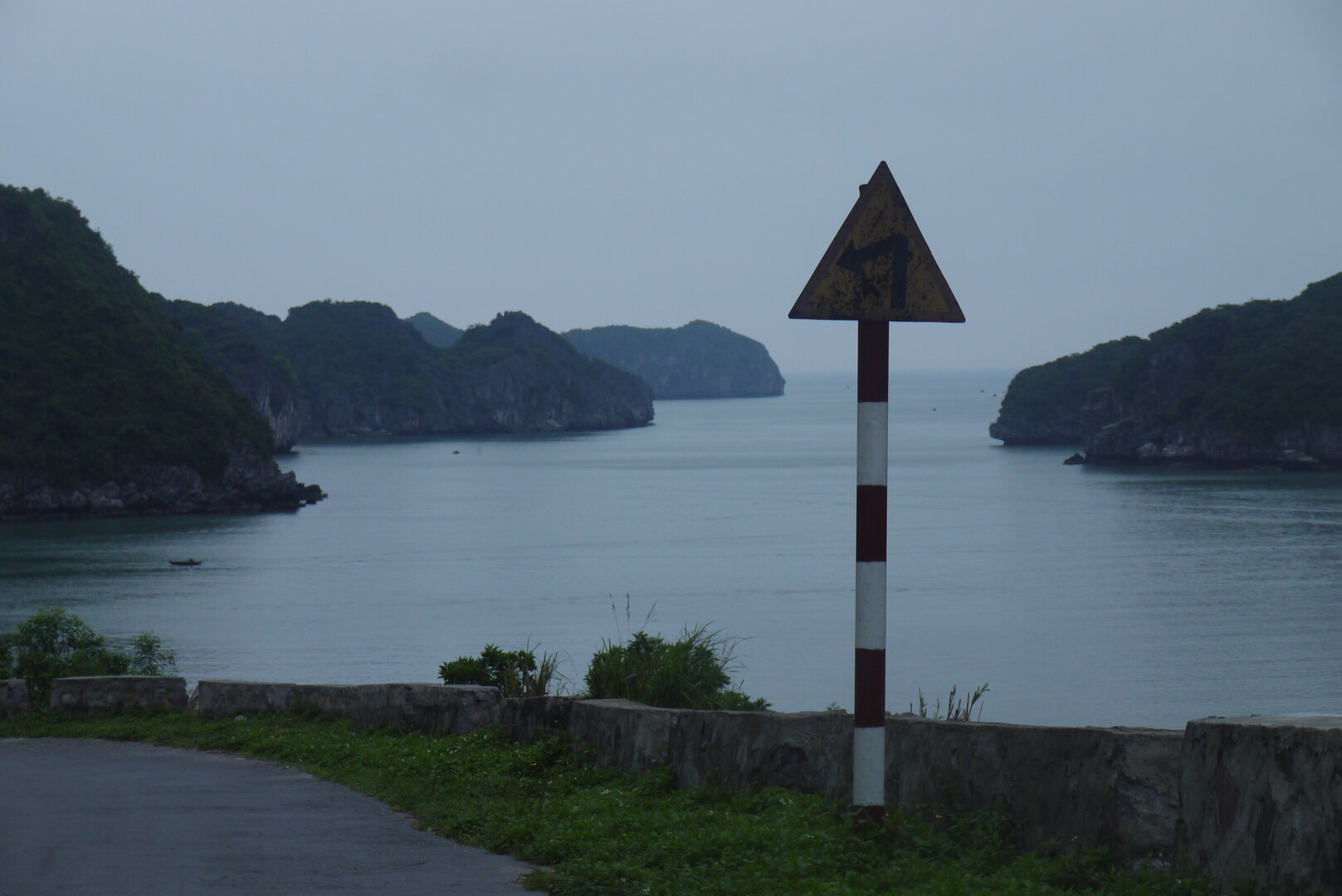
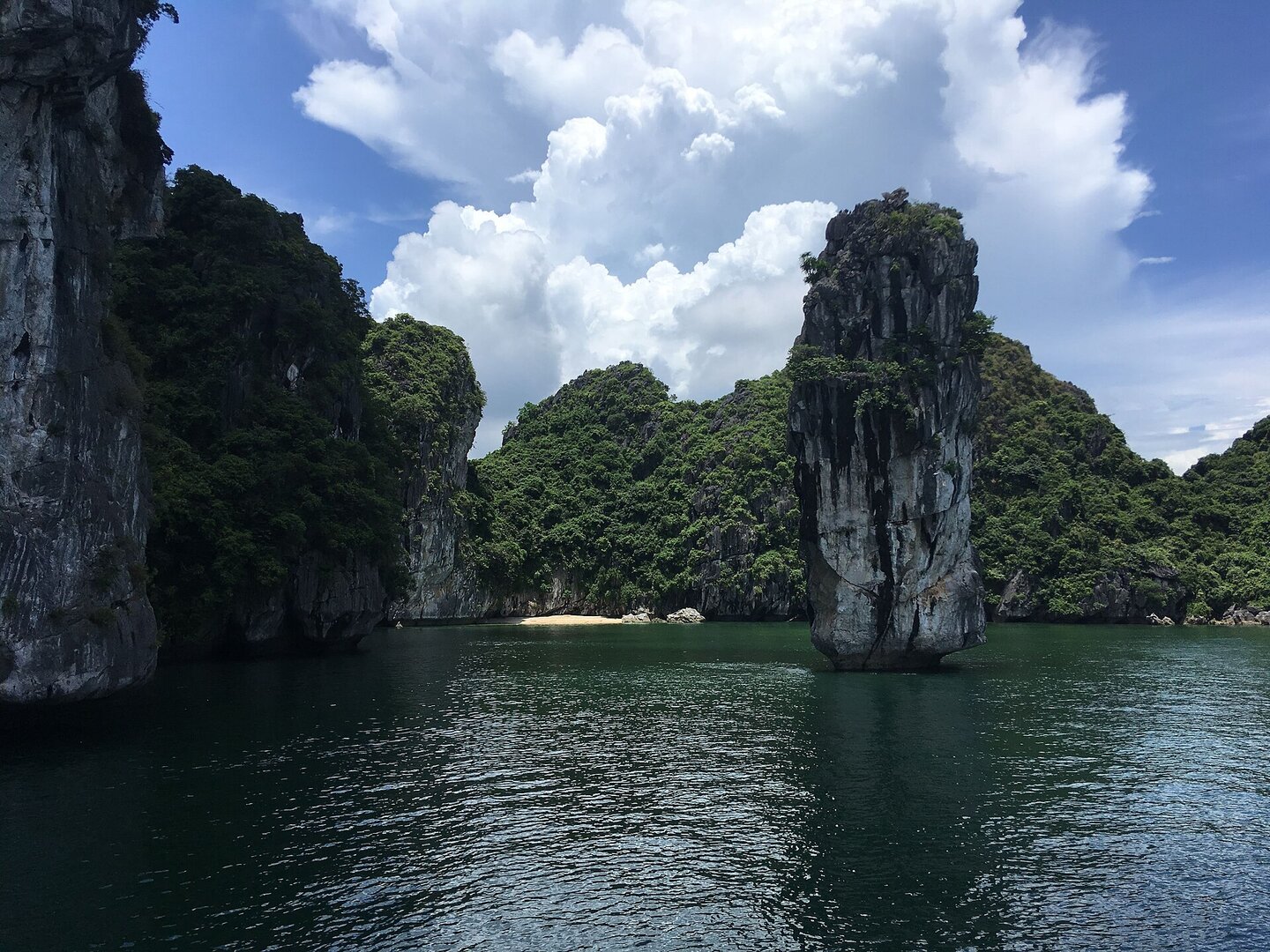
Picture a small cove pressed between limestone cliffs, with mountains and islands standing guard in front — then imagine people pouring sand into it and calling it a beach.
What people come for
Swimming, strolling, sitting in the breeze and taking photos. In summer there are usually water activities such as kayaking, but services change from year to year.
Getting there and around
Get there by road from Cát Bà town along Tùng Thu street, the road cut through the limestone mountain north of the harbour. The beach is about one or two kilometres from the town centre. Entry to the beach is free; parking, umbrellas and loungers, rinse-off showers, water activities and food and drink are charged separately.
Before you go
The swimming season is roughly April to October. Around November to April it is cold and dry, the water is cold, and it is not suitable for swimming (Vietnam Maritime Search and Rescue Coordination Centre, climate characteristics of the Gulf of Tonkin). Storms usually fall from June to September; when a storm hits, the authorities temporarily close the beaches in Cát Bà. Swim only within the buoyed limits and do not swim far from shore. In summer the beaches in the Cát Bà tourist area have lifeguards on permanent duty. The water is sometimes cloudy and muddy depending on season and weather. No source covers currents or deep areas specific to this beach.
What this place is
A beach newly built by the developer of the Cát Bà Amatina project and opened on 1 Jun 2010 in Cái Giá bay, with an artificially filled sand base. It is a short strip of golden sand, a few hundred metres long, set between limestone cliffs, at a spot that used to be a small cove with a mountain and islands in front.
Busy and quiet times
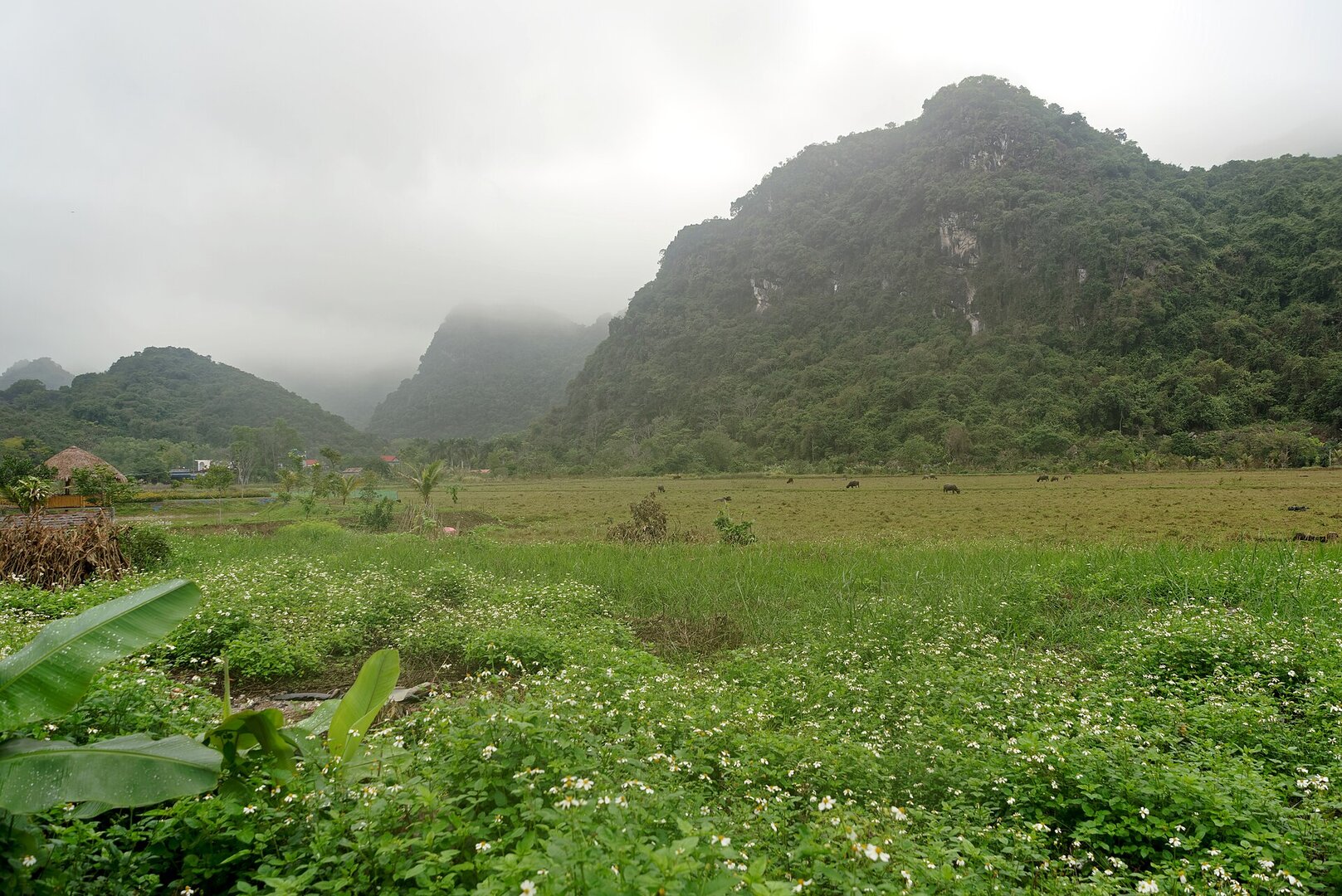
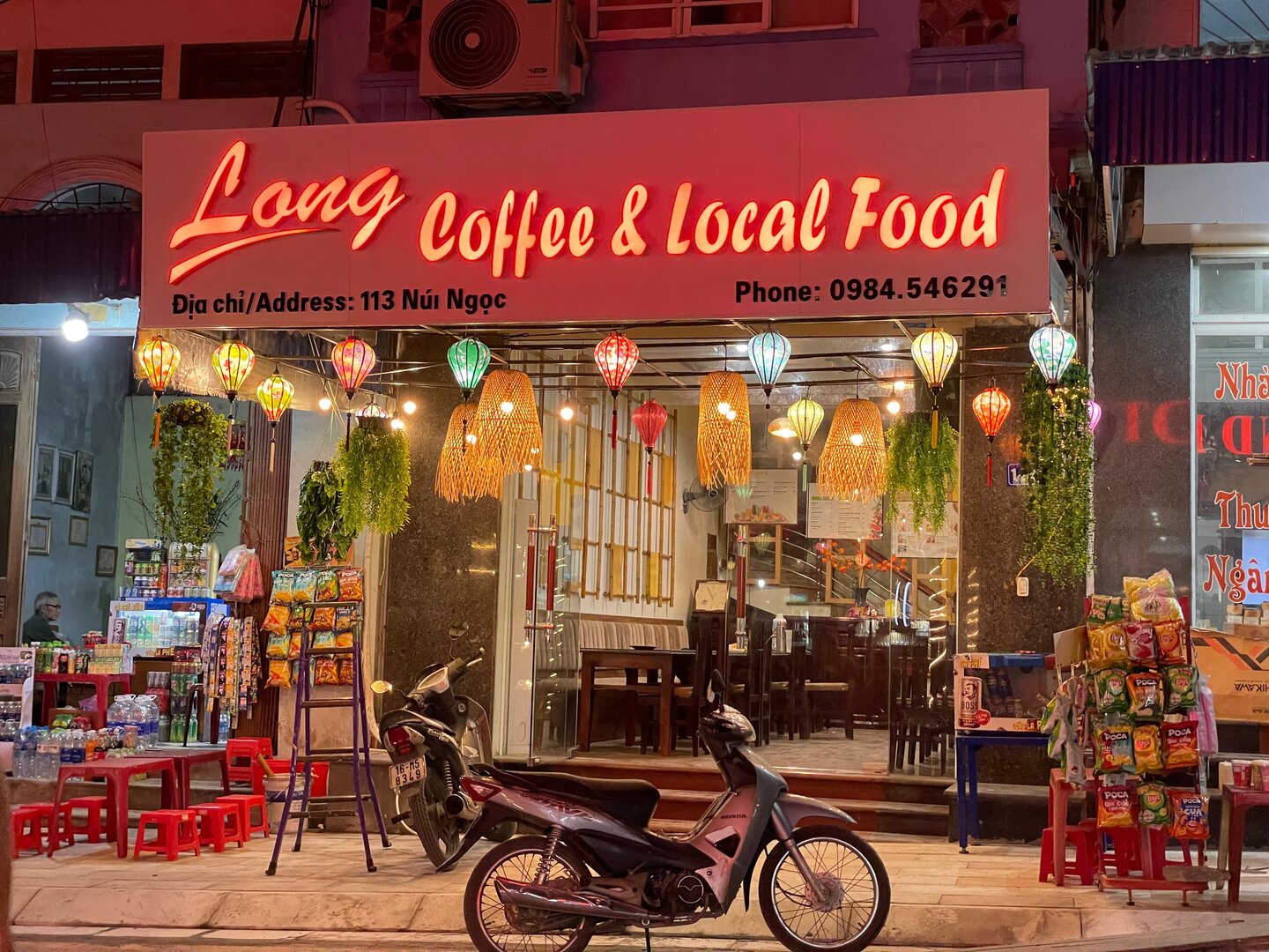
In summer the Cát Cò beach cluster is usually crowded, while Tùng Thu is separated from that cluster and so is described as roomier and calmer. Even so this is not an empty beach: Vietnam Coracle describes backpackers, a bar on the beach, and homestays around it.
The story
Tùng Thu: a limestone cove turned into a beach
Picture a small cove (a vụng, as Vietnamese calls a sheltered inlet) pressed between limestone cliffs on Cát Bà Island, with mountains and islands standing in front of it. The cove was here before. Tùng Thu Beach came later: it was planned and newly built, opening in 2010 as one component of the Cát Bà Amatina tourism project on Cái Giá Bay. The rock belongs to the past. The beach belongs to people.
Vibe
Tags
Source
Identity and location were cross-checked between the Google Maps pin 'Bãi tắm Tùng Thu' (looked up by hand by the product owner, 2 Oct 2026) and the beach area 'Bãi biển Tùng Thu' on OpenStreetMap. The centre of the beach area is about 20–35 m from the pin. The beach lies in Cát Hải special zone according to the OSM boundary and Báo Hải Phòng (15 Jul 2026). The beach's history comes from VnExpress (1 Jun 2010) and Dân trí (31 May 2010): the beach opened on 1 Jun 2010 as a component of the Cát Bà Amatina project. The artificially deposited sand base, the small cove shape, the length of the beach, being less crowded than Cát Cò, the swimming season and things worth doing come from an article in Báo Văn hoá (12 May 2026), republished by Kênh14. The shape of the beach between limestone cliffs, the road in through the mountain, the water being turbid at times and the kayak activities come from Vietnam Coracle (Aug 2019); a blogger on visitcatba also describes the water as muddy at times. The information that entering the beach is free of charge comes from the tourism portal of the Cát Hải Center for Culture, Sports and Information (2023). The cold season and the storm season are region-level climate, taken from the Vietnam Maritime Search and Rescue Coordination Centre. The temporary closing of the beach during storms comes from VnExpress (16 Jul 2023) and Thanh Niên (22 Jul 2024). The advisory on boundary buoys and summer lifeguards comes from Báo Hải Phòng (7 Jul 2024 and 15 Jul 2026). Rejected: lifeguard hours by the minute from a travel-agency page; the area of 'more than 4 ha' (this figure includes the resort); 'international standard' and 'outdoor stage' (the developer's words in 2010, not confirmed to still exist); 'fine white sand, water clear to the bottom' (found only on tour pages, contrary to two independent sources); the swimming season and jellyfish season markers of a machine-generated SEO page; the location 'Cát Dứa island' and '2 km from central Hải Phòng' (clearly wrong); the residential-group address that belongs to an abolished level. Still unclear: the direction the beach faces, the unit currently managing the beach, the vegetation along the beach, currents and deep areas.
Place data is compiled from many sources across the internet by a team of automated AI agents that collect, enrich, check, challenge, score, edit, review and verify it.










Ratings & comments
Anyone can read. Sign in to rate, comment and like.