Cát Bà, Hải Phòng · Nature
Cat Co 1 Beach
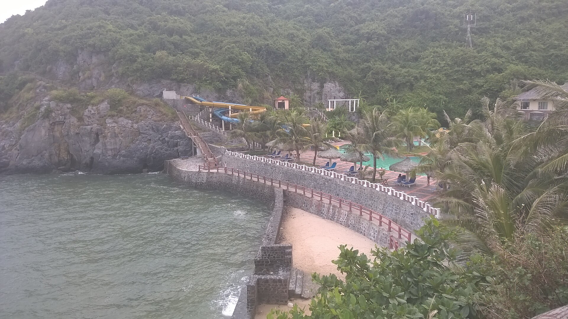
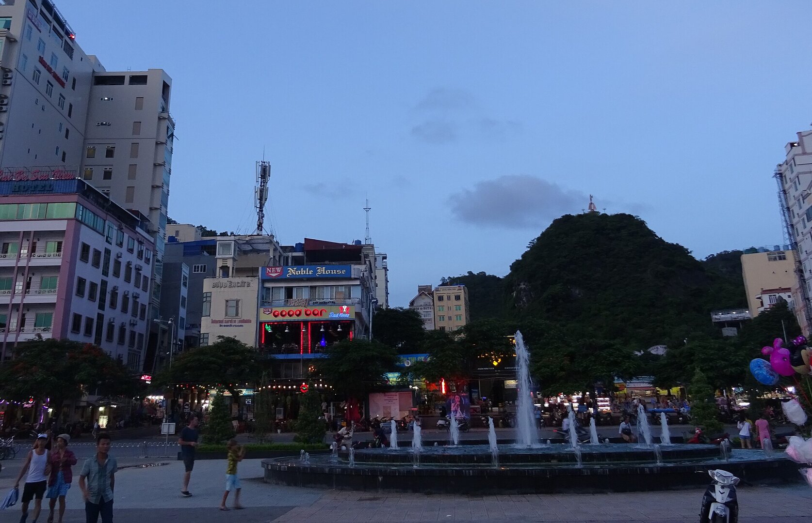
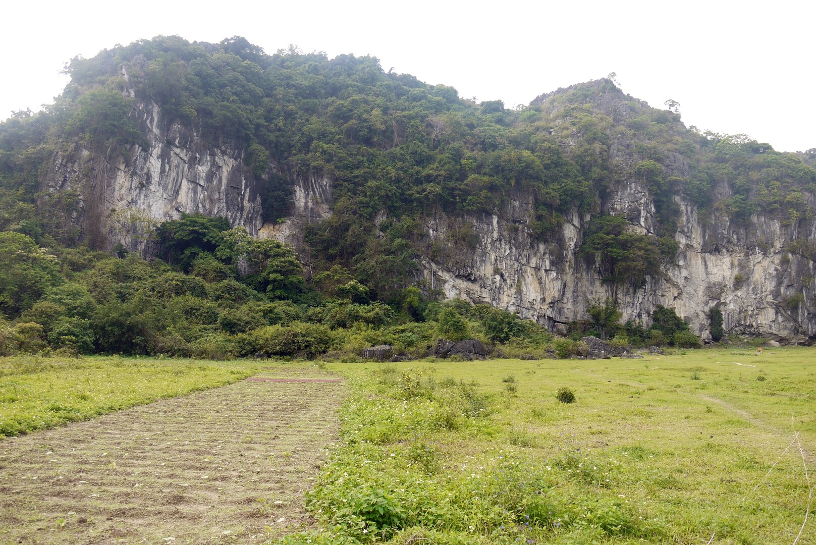
Picture leaving Cát Bà town, walking up a slope and down a flight of steps, and finding at the bottom a curve of fine sand wrapped around the foot of a mountain — something that was here first, and now lies right below a resort.
Photo: Vuong Tri Binh · CC BY-SA 4.0
What people come for
Swimming, renting lounge chairs, parasols and floats; banana boats and sea games mostly run in the peak summer season. From the beach a small path along the mountain slope links to Cát Cò 2 and Cát Cò 3, with a surface that is slippery when it rains or the sea is rough.
Vuong Tri Binh · CC BY-SA 4.0 · source
Getting there and around
Entry to the beach is free; parking, renting chairs, parasols and floats, and freshwater showers are paid separately. People usually park at the foot of the slope on the town side and then walk about 200 m up and down the steps to the beach (Quang Thắng Cát Bà tour blog).
Before you go
Swim only within the buoy line and do not swim far from shore; crowded beaches in Hải Phòng can have dangerous rip currents. The tide rises quickly at the end of the day, so locals leave the water before dusk (Cát Bà tourism portal). The sea-bathing season is roughly April to October; the storm season is usually June to September, and when a storm comes the authorities temporarily close Cát Bà's beaches. In summer the beaches inside the resort area have lifeguards on permanent duty; outside summer there is no source.
What this place is
A small fine-sand beach hugging the foot of the mountain, the widest of the three Cát Cò beaches (1, 2, 3) right next to Cát Bà town; the beach lies below a large resort built on the mountainside, and is not a wild beach.
Busy and quiet times
In summer, especially at weekends and on public holidays, the road out to the Cát Cò beach cluster is often jammed with vehicles and visitors at peak hours; from November to March the island is fairly quiet.
Photographs
3 of 3 on fileThe story
Cát Cò 1: the mountain's curve of sand, and the way down people built
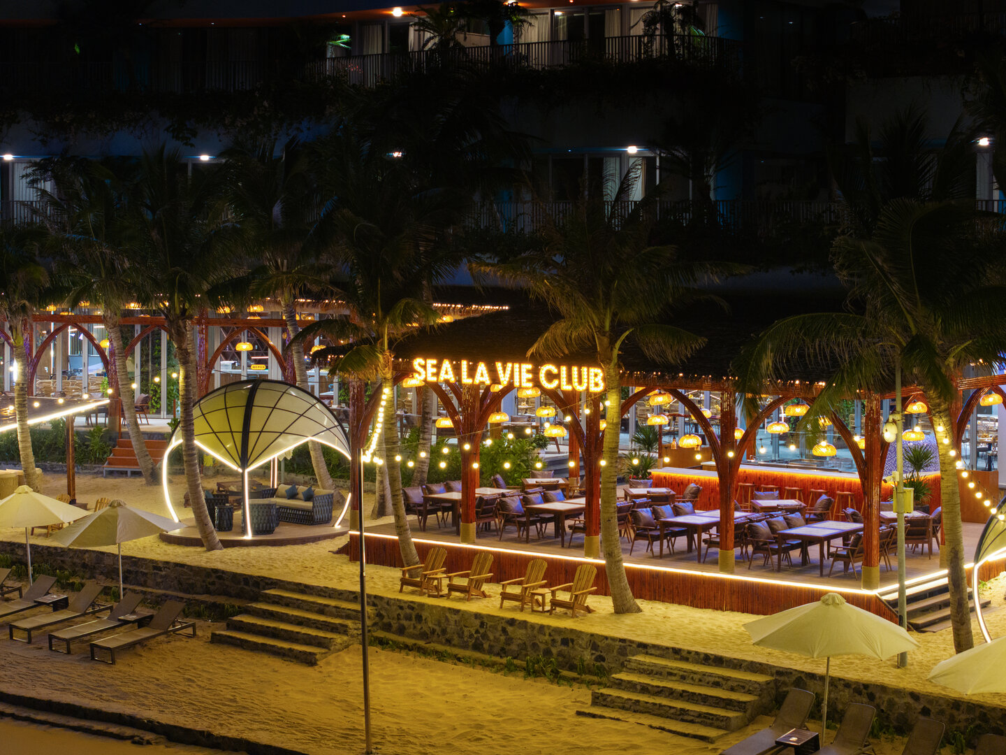
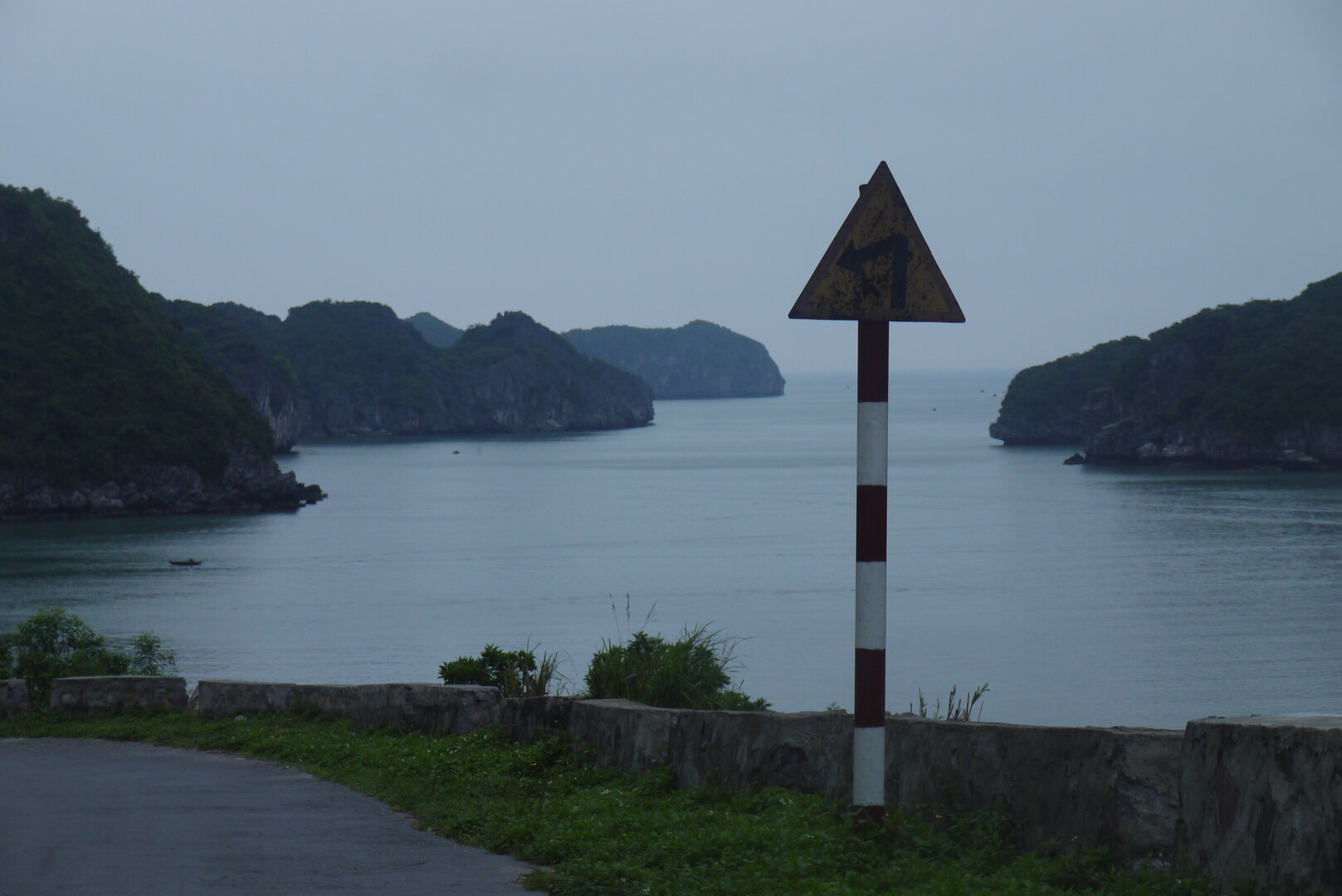
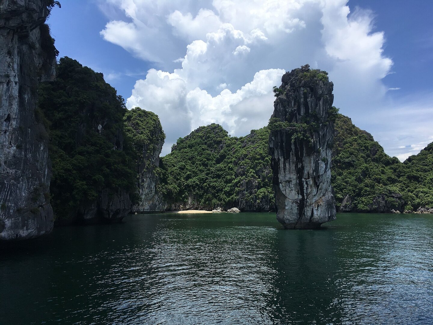
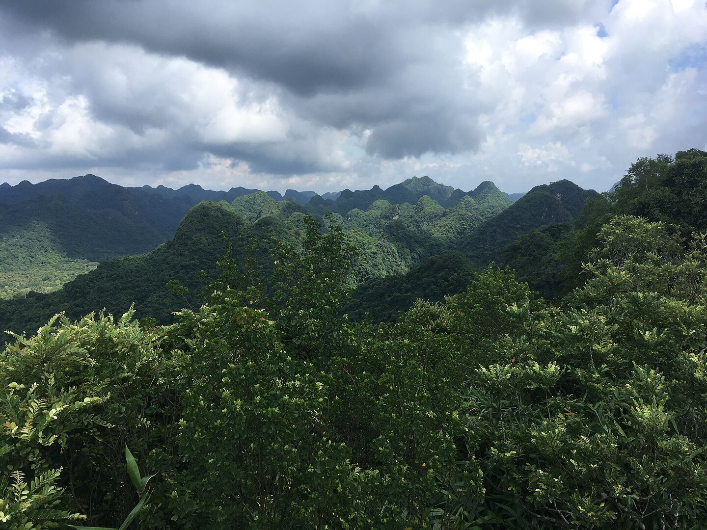
Cát Cò 1 is the first in the row and the widest of the three Cát Cò beaches, right next to Cát Bà town, on an island whose surrounding archipelago is a World Biosphere Reserve. It is still a small beach of fine sand curving along the foot of a mountain, with waves lapping all year but usually not large. The mountain's part is still there. The human part is everywhere you look: parking at the bottom of the slope, steps down to the sand, railings along the rocky stretch of path, rows of loungers and umbrellas, and a large resort built on the mountainside just above. It is also one of four beaches on the island recognised as a tourist site by the Hải Phòng People's Committee, the city government.
Vibe
Tags
Source
Identity and position were cross-checked between the Google Maps pin 'Bãi tắm Cát Cò 1' (looked up by hand by the product owner, 2 Oct 2026) and OpenStreetMap: the coordinates are about 40 m from the centre of Cát Cò 1 beach, not confused with Cát Cò 2 or Cát Cò 3. OpenStreetMap records the name as 'Cát Cỏ' by a spelling error; all other sources write 'Cát Cò'. The description of the beach, the path along the mountain, the cost of entering the beach and the end-of-day tide rhythm come from the Cát Bà tourism portal of Hải Phòng city (catba.haiphong.vietnaminfo.net, accessed Oct 2026). The beach size, the lack of big waves, the tourist-spot title and the recommendation on the swimming area come from Báo Hải Phòng (2024); the warning about offshore currents and the summer lifeguard force come from Báo Hải Phòng (16 May 2026 and 15 Jul 2026). The swimming season and the quiet season follow the VnExpress guide to Cát Bà (updated 16 Apr 2026). The storm season, northeast monsoon season and tidal regime follow the Vietnam Maritime Search and Rescue Coordination Centre (vmrcc.gov.vn). The beach closures during storms follow Thanh Niên (22 Jul 2024) and VnExpress (16 Jul 2023). The crowded summer scene follows CafeF (1 May 2026). The list of services follows Người Du Lịch (2025) and Wikivoyage. The independent cross-checking layer added by the verifier: OpenStreetMap (Overpass), Wikivoyage 'Cat Ba', Vietnamese Wikipedia 'Vườn quốc gia Cát Bà', Pháp Luật TP.HCM (7 Jul 2024). Rejected: the length of the beach, because three sources differ (142 m, ~200 m, ~113 m); distance in metres to the town, because the blogs contradict each other; swimming time in minutes, because two sources differ; the best hours of the day and 'worth going at sunset', because each point has only one blog; surfboards, because Wikivoyage says the beach has no waves for surfing; every service price figure; the names of resorts right by the beach; the summer 2026 vehicle ban, because it expired on 5 Sep 2026. The beach lies on Cát Bà island but outside the boundary of Cát Bà National Park according to OpenStreetMap and the latitude recorded on Wikipedia. Photos: Wikimedia Commons (Saaremees, Vuong Tri Binh; CC BY-SA 4.0). Cross-checked on 3 Oct 2026.
Place data is compiled from many sources across the internet by a team of automated AI agents that collect, enrich, check, challenge, score, edit, review and verify it.














Ratings & comments
Anyone can read. Sign in to rate, comment and like.