Đặc khu Phú Quý, Lâm Đồng · Nature
Nho Beach – Ganh Hang
Picture an “infinity pool” like the ones in hotel photos, except nobody built this one: the sea spills into hollows beneath a black rock cliff, and beyond the rim is the open ocean, where waves can pull people out. So keep back from the edge.
What people come for
People come to soak in the rock pools below Gành Hang, and to snorkel or dive to see multicoloured coral reef right here when the sea is calm. Bãi Nhỏ is named in the island's list of dive spots, along with Bãi Cạn and Bãi Lăng. More broadly, the whole of Phú Quý island was once a volcanic crater, surrounded by a thick belt of coral.
Getting there and around
The beach is right near the island's sovereignty flagpole. There is no road down to the beach: visitors leave their motorbikes on the road and walk down a footpath along the hillside. To reach the island, take a boat from Phan Thiết; on the island visitors usually rent a motorbike to get around. No source confirms an entrance fee, a parking fee or any services on site.
Before you go
No source says the beach has lifeguards, warning flags or a no-swimming sign. At the 'infinity pool', do not go right to the edge when taking photos because waves can pull a person out to sea, and it is best to go with a local. The way down to the headland is a rock face, so bring sturdy hiking shoes. The rocks at the pools and dive spots can cut your feet; one traveller advises bringing sandals or shoes with drainage holes. Travel sites warn that the swimming areas often have fairly big waves and deep water (VinWonders), so do not swim or paddle far from shore, especially in the monsoon. The wind on the island is strong all year. The northeast monsoon season at the end of the year into spring is when the sea is roughest: in some spells boats to the island have had to stop and tourism almost halts. At the end of the rainy season tropical depressions often make the sea rough. In spring and summer, especially around mid-year, the sea is usually calmer, but it still gets rough at times. Camping overnight on the island requires permission in advance.
What this place is
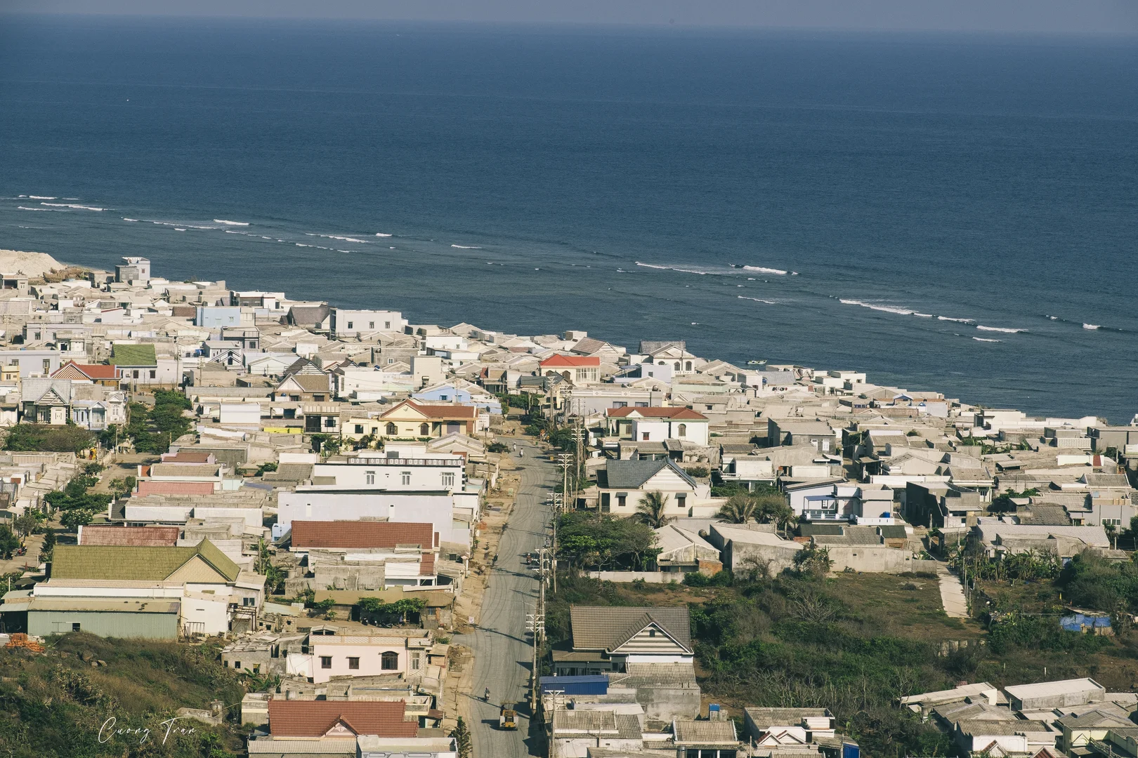
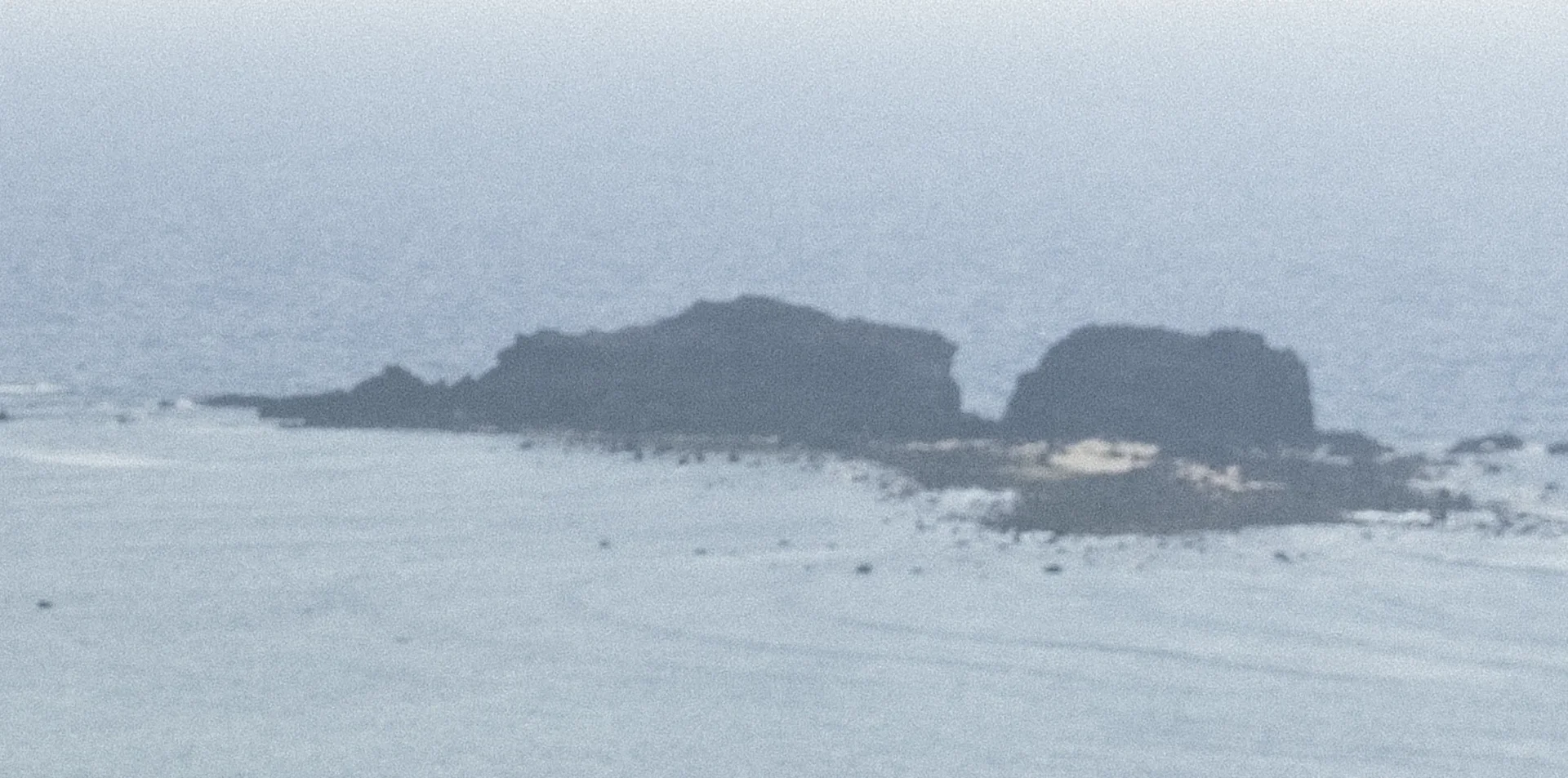
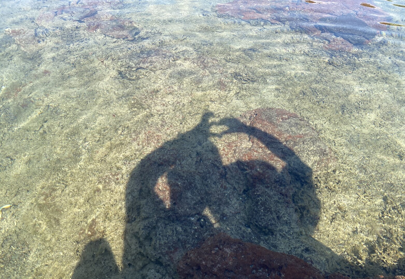
Bãi Nhỏ is a short, half-moon sand beach tucked against the foot of a hill, with rocky outcrops jutting into the sea at both ends. Right next to the beach is Gành Hang: a black rock face rising steeply at the water's edge, with waves hitting it and throwing up white spray; on top of the headland are grassy hills growing on rock, looking down to the sea. Below the headland, seawater flows into hollows in the rock to form natural pools that visitors call 'Khe Sung Sướng', 'Hồ bơi vô cực' (the infinity pool) and 'hồ bánh xe' (the wheel pool). Locals call the hill above đồi Chuối. In 2023 the provincial newspaper described this area as still fairly unspoilt, with few buildings.
Busy and quiet times
Visitors go down to Gành Hang to swim, take photos and surf. At the rock pools below the headland it is sometimes so crowded that people queue for a turn to go down and swim, according to one traveller.
The story
Bãi Nhỏ – Gành Hang: pools nobody built
On one stretch of shore on Phú Quý island, right beside the sovereignty marker that islanders call cột cờ (“the flagpole”), two places sit side by side at the foot of a hill locals call đồi Chuối (Banana Hill). On one side is Bãi Nhỏ (“Small Beach”): a short, crescent-shaped strip of sand hugging the base of the hill, each end closed off by a rocky headland jutting into the sea. A little further on is Gành Hang — gành is the local word for a rocky headland — a large black cliff standing straight up at the water's edge, waves breaking against it in white spray. On top, grass grows over the rock, looking down onto blue sea.
Vibe
Tags
Source
The shape of the beach (a half-moon sandy beach hugging the foot of a hill, with rocky headlands at both ends), access by a walking trail, the route to the island by boat from Phan Thiết, the rock pools 'Khe Sung Sướng' and 'Hồ bơi vô cực' (Infinity Pool), and the safety advice (do not go right to the edge of the pools, wear sturdy shoes, strong wind, ask permission before camping) come from the VnExpress travel guide to Phú Quý island (May 2022). The VnExpress article 'các điểm lên hình đẹp trên đảo Phú Quý' (photogenic spots on Phú Quý island, 18 May 2022) gives the name 'hồ bánh xe' (wheel pool), the scene of grassy hills growing on rock, the advice to wear shoes so the rocks do not cut your feet, and the fact that there is sometimes a queue at the pools. Báo Bình Thuận (2023) gives the steep black cliffs of Gành Hang, the name of Chuối hill, the scene of diving to look at coral, and the remark that this area is still pristine with few houses; its articles of 27 Jul 2023 and 5 May 2025 also support the shape of the beach and the season to go. Tuổi Trẻ (Nov 2019) gives the position next to the flagpole and the activities of swimming, taking photos and surfing. Dân Trí (19 Jun 2024) lists Bãi Nhỏ among the island's diving spots. The Ministry of Culture, Sports and Tourism (25 Jun 2021) gives the volcanic origin and the coral belt of the island. The rough-sea season comes from Người Lao Động (30 Dec 2025), Báo Lâm Đồng (19 Nov 2025) and Znews (18 Feb 2025). The wind season, storm season and the boundary of Phú Quý special zone, Lâm Đồng province come from Wikipedia. The wave warning in the swimming area comes from VinWonders, a commercial travel site; kept because it is a safety warning. The position of the beach was checked against the sand-beach polygon on OpenStreetMap (way 486600090), and the flagpole is about 94 m away, measured on 26 Sep 2026. Things deliberately not put up: the 650 m distance between the beach and the cliff, because Tuổi Trẻ places the cliff right next to the flagpole; the route '700 m from the flagpole' of a boat-ticket seller, because it differs from the OpenStreetMap measurement; the distances to the port and the centre; 'free admission', because only one aggregator site says so; plans for a tourist area and resorts, because they are only plans; the remark 'not too crowded', because it contradicts the queues at the rock pools; grilling seafood on the beach and watching the sunrise, because only commercial sites say so; rare species such as dugongs and turtles, because the sources do not link them to this beach; the 'December to June' window, because it overlaps the northeast monsoon season; and the old commune name. There is no source yet about lifeguards, offshore currents, tides at the rock pools or parking fees.
Place data is compiled from many sources across the internet by a team of automated AI agents that collect, enrich, check, challenge, score, edit, review and verify it.
Ratings & comments
Anyone can read. Sign in to rate, comment and like.