Đặc khu Phú Quý, Lâm Đồng · Nature
Trieu Duong Bay
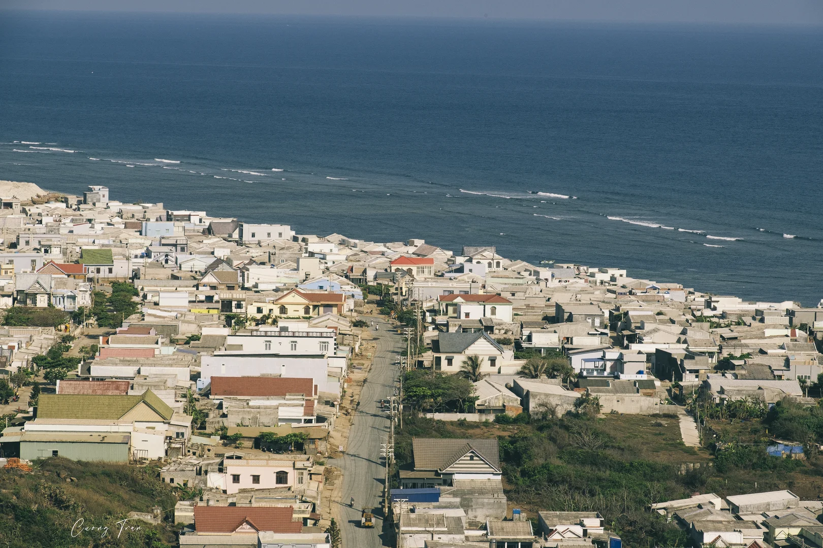
Picture a small bay named after a village that was already on Phú Quý island's list of villages in 1930. Along its shore lies dark brown rock formed from volcanic lava, and every afternoon islanders come down to swim.
What people come for
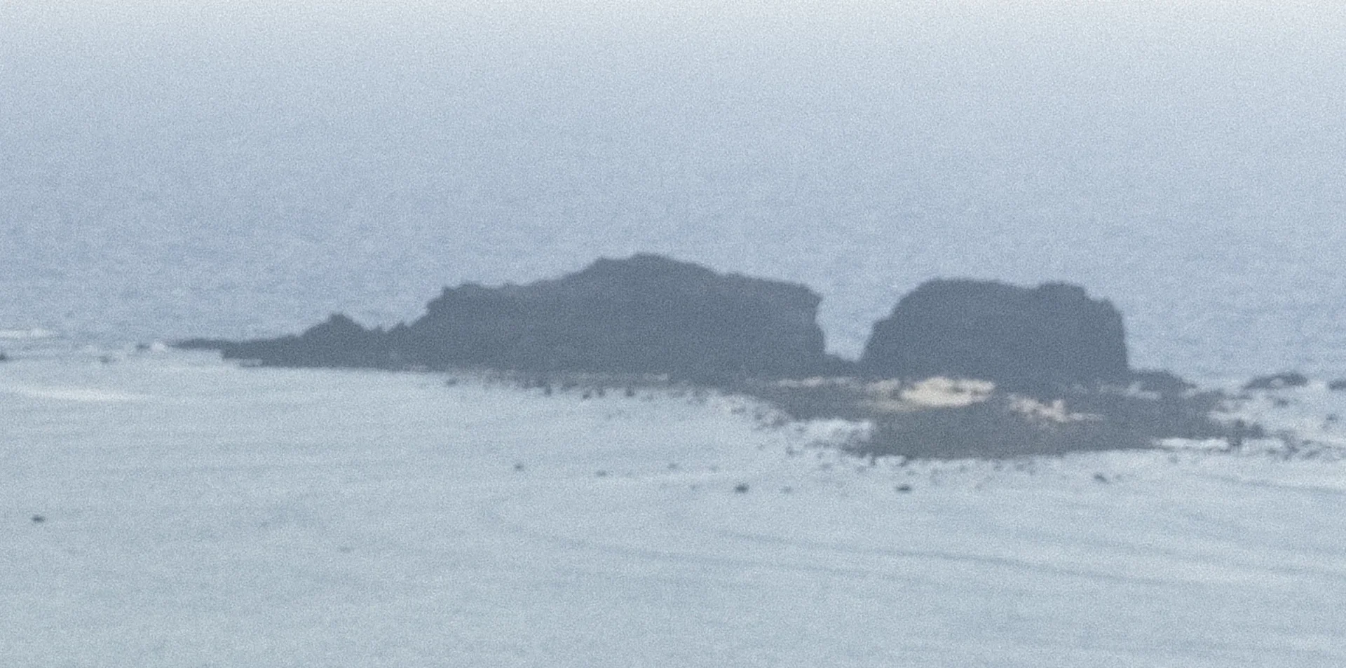
People come to swim in the afternoon alongside islanders, to eat and drink and camp under the casuarina forest, and to sit looking at Hòn Tranh and the volcanic rock shore. The coral is at Hòn Tranh ahead rather than on the bay beach: the water around the islet is so clear that you can see the bottom and make out each coral reef, and to see it you have to cross by boat.
Getting there and around
The bay lies just east of Phú Quý port; from the passenger ferry pier to the middle of the bay is about one kilometre. The only way to the island is by sea from Phan Thiết, the island being more than 56 nautical miles from the mainland; veteran boat captains regard it as one of the difficult sea routes, prone to seasickness, and on the island people get around mainly by motorbike. No source yet speaks about an entry fee, parking or toilets at the bay.
Before you go
The island has two wind seasons, and no month guarantees a calm sea. The northeast monsoon season (gió bấc) is the hard one: there are spells of 4–6 m waves, the Phan Thiết – Phú Quý boats stopped from 21 to 26 Dec 2023 and stopped again over New Year 2026. The mid-year southwest monsoon season also has spells of high waves hitting the western and southern shores of the island, which is the shore with the bay; all boats to the island once stopped on 13–16 Jul 2024. The island's tourist season begins when the northeast monsoon ends, so check the boat schedule before going and leave spare days. No government or rescue source yet speaks about currents, depth or rescue services at the bay; at Triều Dương beach inside the bay, three tourists once drowned on the afternoon of 1 Apr 2015, so avoid going into the water on rough-sea days. If camping overnight, you must sort out residence registration beforehand.
What this place is
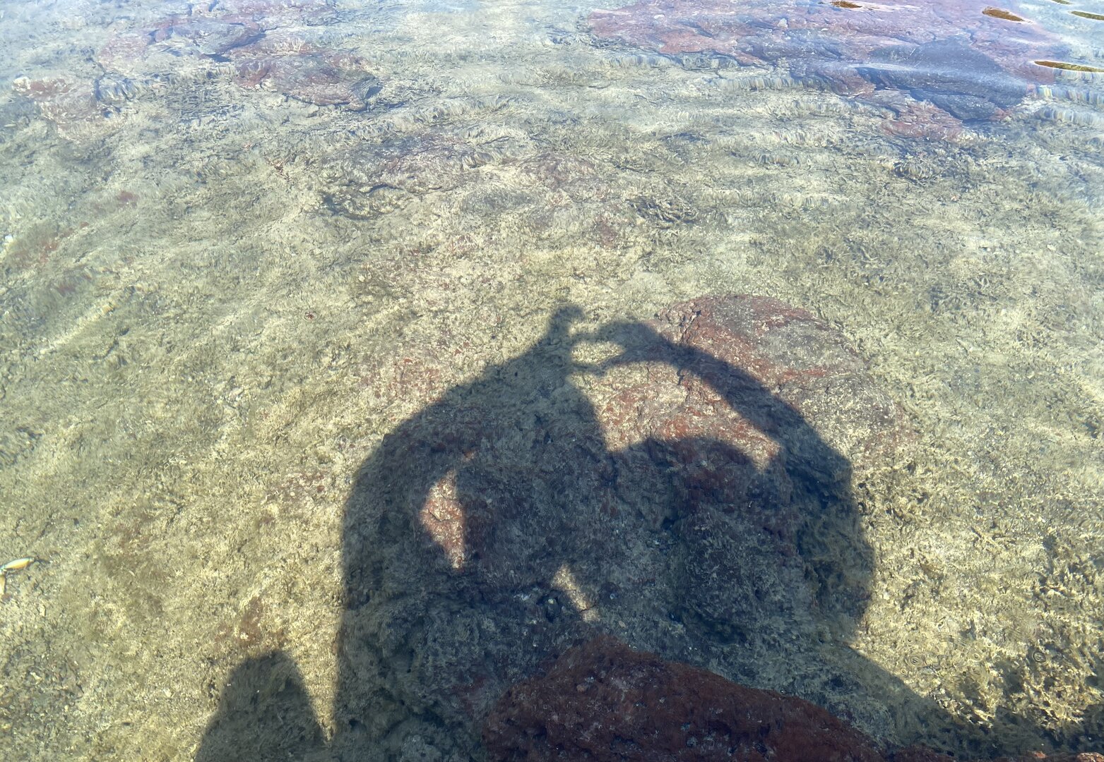
Vịnh Triều Dương is on the south shore of Phú Quý island and shares its name with Triều Dương, an old village of the island. Standing at the bay and looking out, you see Hòn Tranh directly ahead, the islet that shelters the beach from wind and waves; the stretch of shore from the sovereignty flagpole toward the bay has brown-black rock outcrops formed from volcanic lava. At low tide, from the shore you can see submerged black rock flats rising out of the sea (VinWonders, no date given).
Busy and quiet times
Inside the bay there is a small swimming beach, with blue calm water beside a strip of fine sand; in the afternoon many local people come to swim. Residents and visitors often come to camp and eat and drink under the casuarina forest along the beach, looking at the sea and at Hòn Tranh.
The story
Triều Dương Bay: an old village name, volcanic rock
Picture yourself on a stretch of fine sand on the south shore of Phú Quý island. The bay takes its name from Triều Dương hamlet, one of the island's old villages; by 1930 it already appeared on the island's list of nine villages. Straight out to sea sits Hòn Tranh ("hòn" means islet), which blocks the wind and breaks the waves before they reach the beach.
Vibe
Tags
Source
The position of the bay follows the Google Maps pin 'Điểm du lịch - Vịnh Triều Dương' (Plus code GX46+28), cross-checked against OpenStreetMap: the Phú Quý passenger ferry pier is about a kilometre from the pin, and Hòn Tranh lies to the south-southeast; Triều Dương beach inside the bay has its own page. The name of Triều Dương village in the list of the island's former villages comes from the Vietnamese Wikipedia (Phú Quý section); the administrative unit, Phú Quý special zone, Lâm Đồng, follows Người Lao Động on Tuổi Trẻ (30 Dec 2025). Tuổi Trẻ (21 Nov 2019) gives the scene of Hòn Tranh in front sheltering the bay from wind and waves, the dark-brown rocky outcrops of volcanic lava along the shore, and camping and eating under the casuarina forest. VnExpress (Phú Quý island travel guide, 29 May 2022) gives the small, calm blue-water swimming beach, the rhythm of locals swimming in the crowded afternoons, the ferry route to the island and the residence formalities when camping overnight. VinWonders gives the black rocks exposed at low tide; the Vietnam Tourism portal gives the coral at Hòn Tranh. On the season: Báo Lâm Đồng (24 Dec 2023 and 19 Nov 2025), Người Lao Động on Tuổi Trẻ (30 Dec 2025), VnExpress (13 Jul 2024), Tuổi Trẻ (15 Aug 2011, the words of the district leader about waves in the southwest monsoon season on the west and south coasts of the island) and Znews (18 Feb 2025). The 2015 drowning case follows VietNamNet (2 Apr 2015), already checked on the Triều Dương beach page. Rejected: 'a 2 km long sandy shore' (only one blog); the window 'December to June' and 'calm sea in spring and summer' (there are ferries suspended for all of December, January and July, and the south shore has big waves in the southwest season); 'the bay is gentle at all times' (a commercial page, wrong even on the place name); coral around the bay beach (only tour-selling pages; state sources and newspapers place the coral at Hòn Tranh); a breakwater belonging to the bay (no state source names Triều Dương); a bustling noon, karaoke under the casuarina forest and hauling nets with fishermen (only boat-ticket blogs or tour-selling pages); sunset at the bay (the beach's orientation is unverified, sources contradict each other); the distance to Hòn Tranh as 600 m or 2 km (sources differ); 'the first stop on the island loop' (depends on the direction of travel). There is no source yet about lifeguards, currents, entrance fee, parking or toilets.
Place data is compiled from many sources across the internet by a team of automated AI agents that collect, enrich, check, challenge, score, edit, review and verify it.
Ratings & comments
Anyone can read. Sign in to rate, comment and like.