Đặc khu Cát Hải, Hải Phòng · Island
Cat Ba Island
On the largest of more than three hundred limestone islands, people have lived, fought and treated the wounded inside a cave — and then decided to keep a whole forest.
What people come for
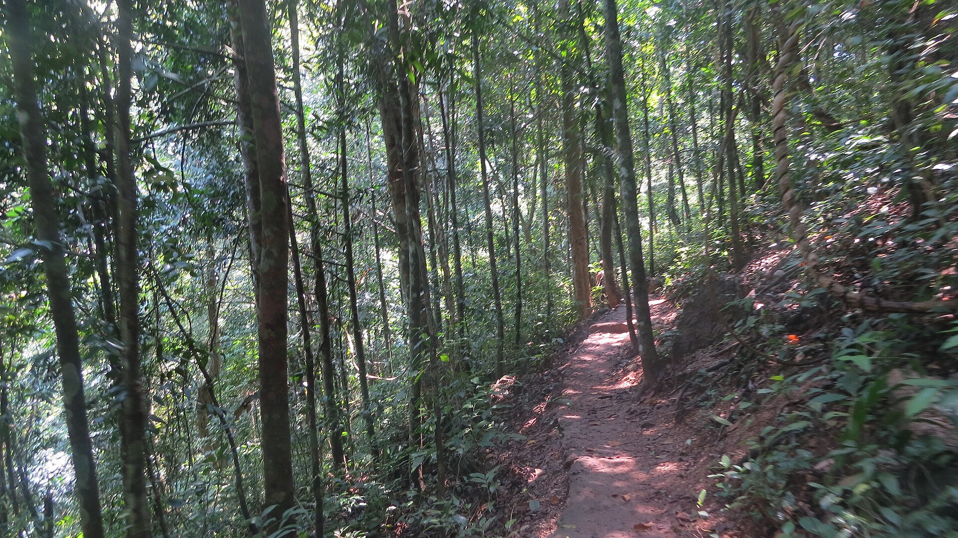
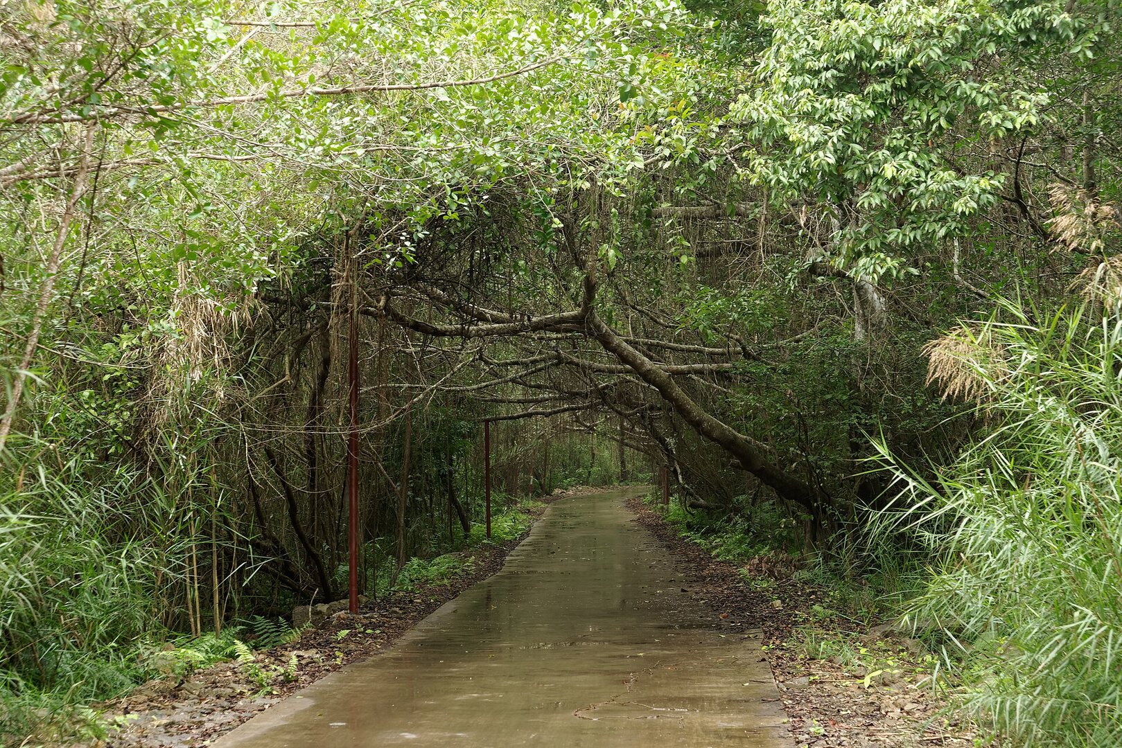
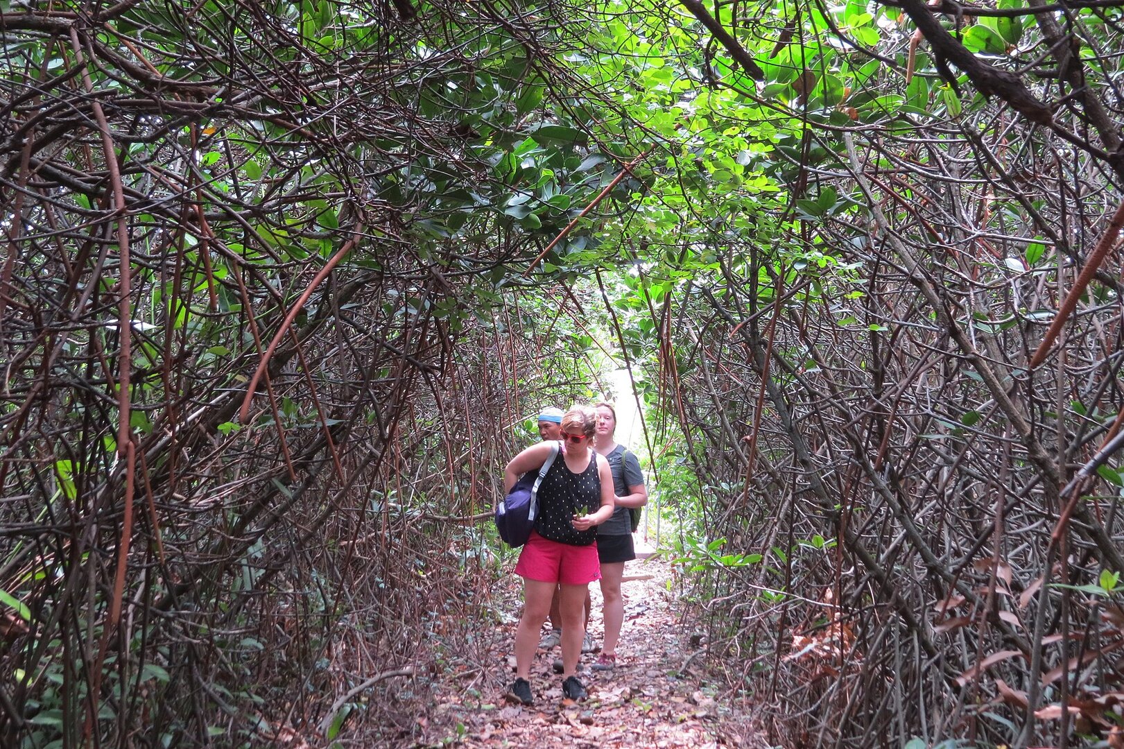
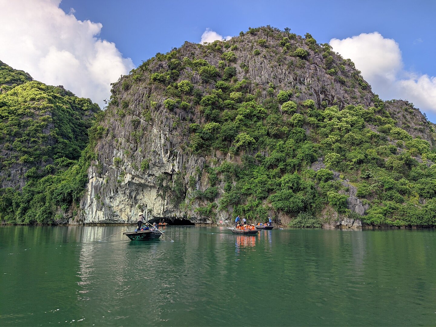
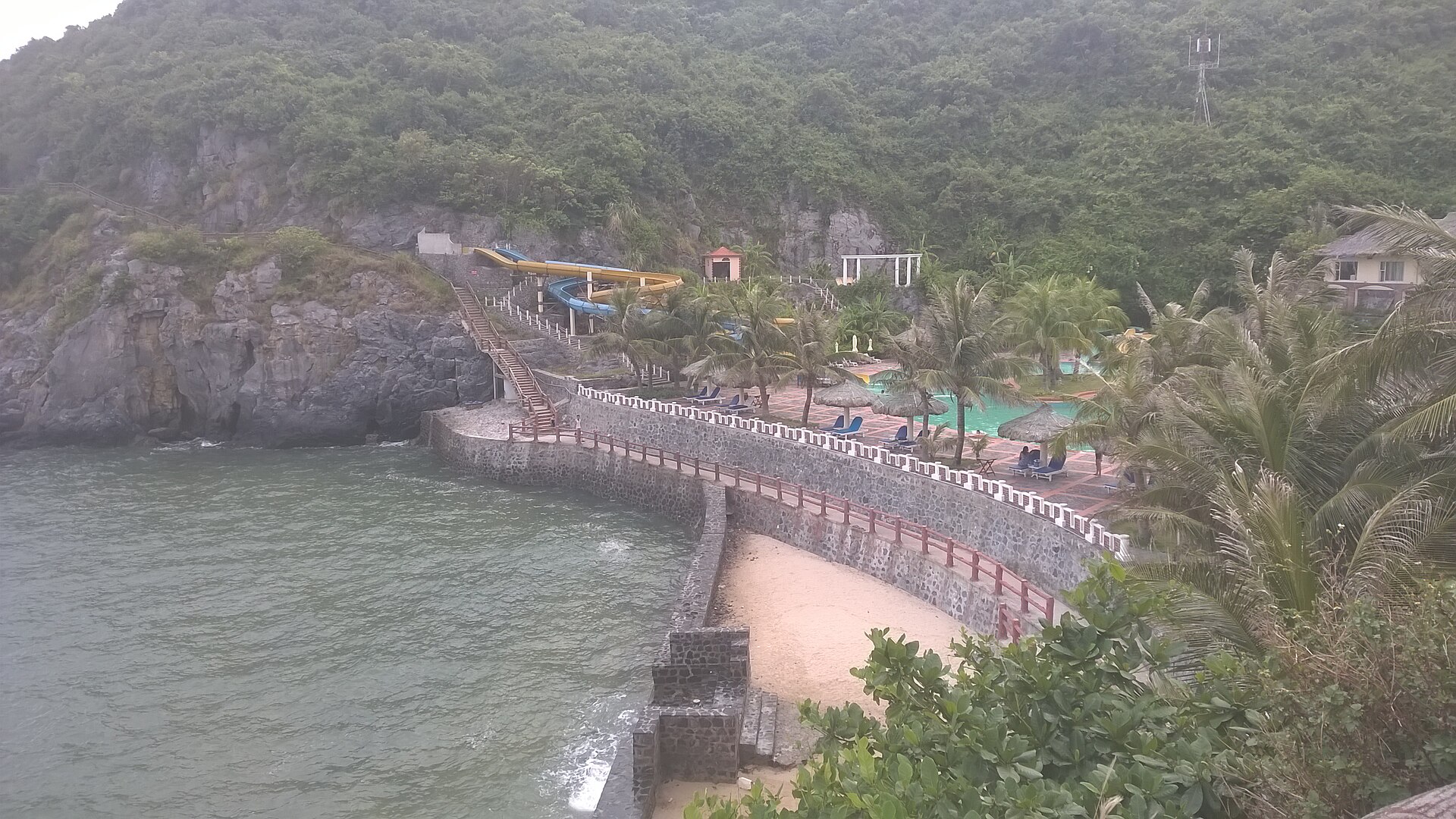
People come to walk in Cát Bà National Park: a short half-day route through the Kim Giao forest up to Ngự Lâm peak, or a long full-day route, plus night wildlife walks and caves. They also take boats from Cái Bèo pier into Lan Hạ Bay to visit fishing villages, swim at the two central beaches, Cát Cò and Tùng Thu. The national park was founded on 31 Mar 1986 and covers most of the island's interior. The archipelago has been a World Biosphere Reserve since 2 Dec 2004, and together with Hạ Long Bay it was inscribed as a World Natural Heritage site on 16 Sep 2023, Vietnam's first inter-provincial heritage site (Nature and Biodiversity Conservation Agency; VietnamPlus). The Cát Bà langur (voọc Cát Bà) is critically endangered and lives nowhere else in the world. Its population is still very small but slowly growing, and most visitors do not see it.
Illustrated map
Illustrated map
Outline, roads and the islets around come from OpenStreetMap. Each pictogram is a verified point; where they crowd, they are moved apart with a dot at the true spot.
Getting there and around
There are four ways to reach the island: the Đồng Bài (Cát Hải) – Cái Viềng ferry, the Cát Hải – Phù Long cable car, the speedboat from Bính pier (Hải Phòng), and the Tuần Châu (Quảng Ninh) – Gia Luận ferry. Đồng Bài pier replaced Gót pier from 1 Mar 2024. From the ferry pier to the island centre is about another 20 km of coastal road through the national forest. Cát Bà is about 140 km from Hà Nội. Entry to the national park is ticketed, at a low price.
Before you go
Winter (November–April) is cold with little rain, and the sea is cold, so it is not swimming season. Summer (May–October) is hot, humid and rainy (Nature and Biodiversity Conservation Agency; VMRCC). Storms in Hải Phòng usually come from June to September. When a storm hits, ferries, the cable car, bay boats and swimming are usually suspended, and visitors can be stranded on the island, as in Jul 2023, Jul 2024 and Aug 2026, so check the forecast before you go. On summer afternoons the tide is usually high, so swimming earlier is better. Swim only inside the marker buoys; Cát Cò 3 has stronger waves and deeper water than Cát Cò 1 and 2. In summer 2026 the beaches in the tourist area had lifeguards, but no source mentions rip currents or fixed no-swimming zones. Wear a life jacket on bay boats. Long hot spells bring a risk of forest fire, so do not light fires when hiking (Doanh nghiệp và Hội nhập).
What this place is
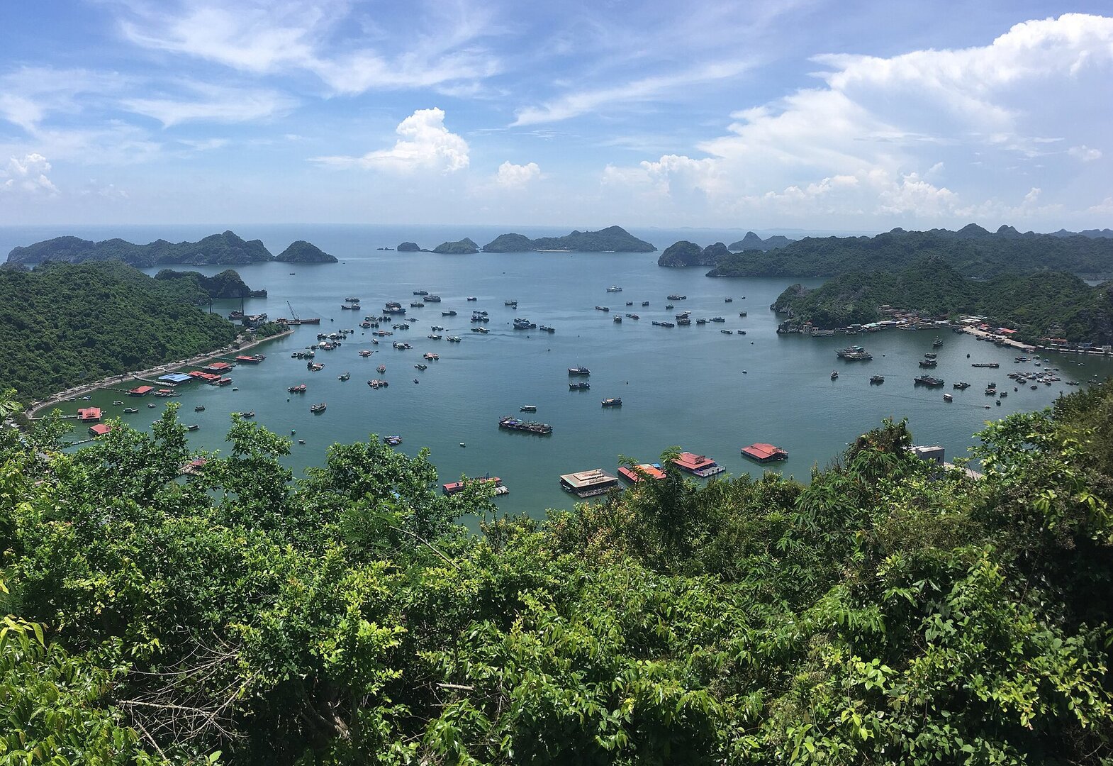
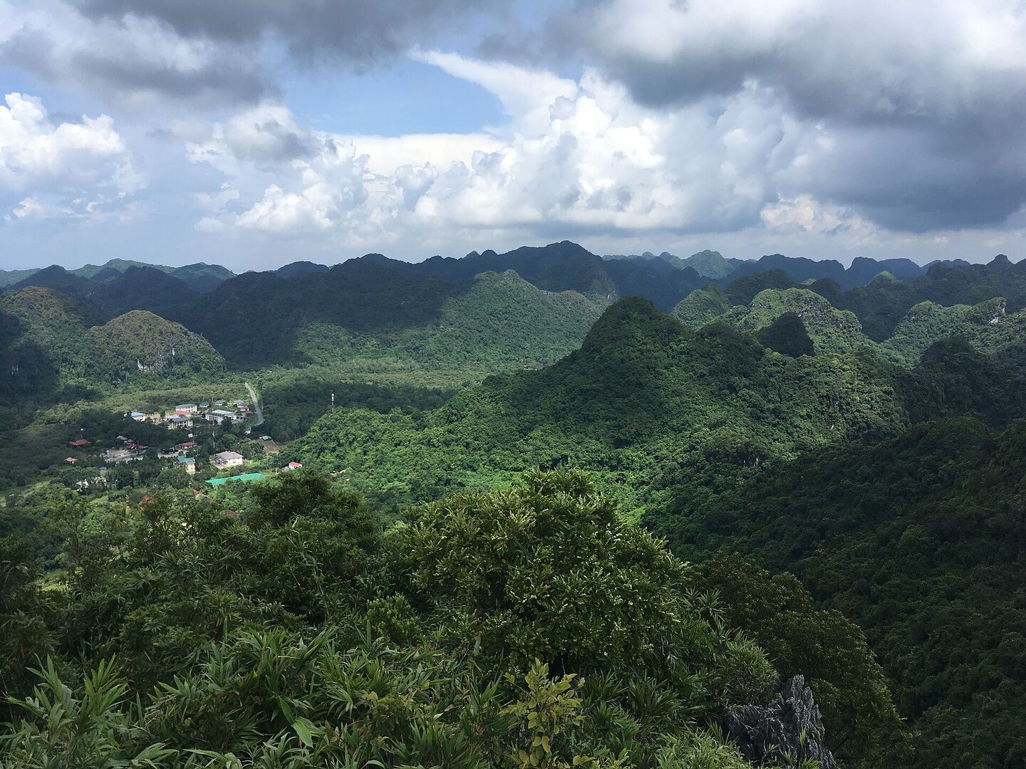
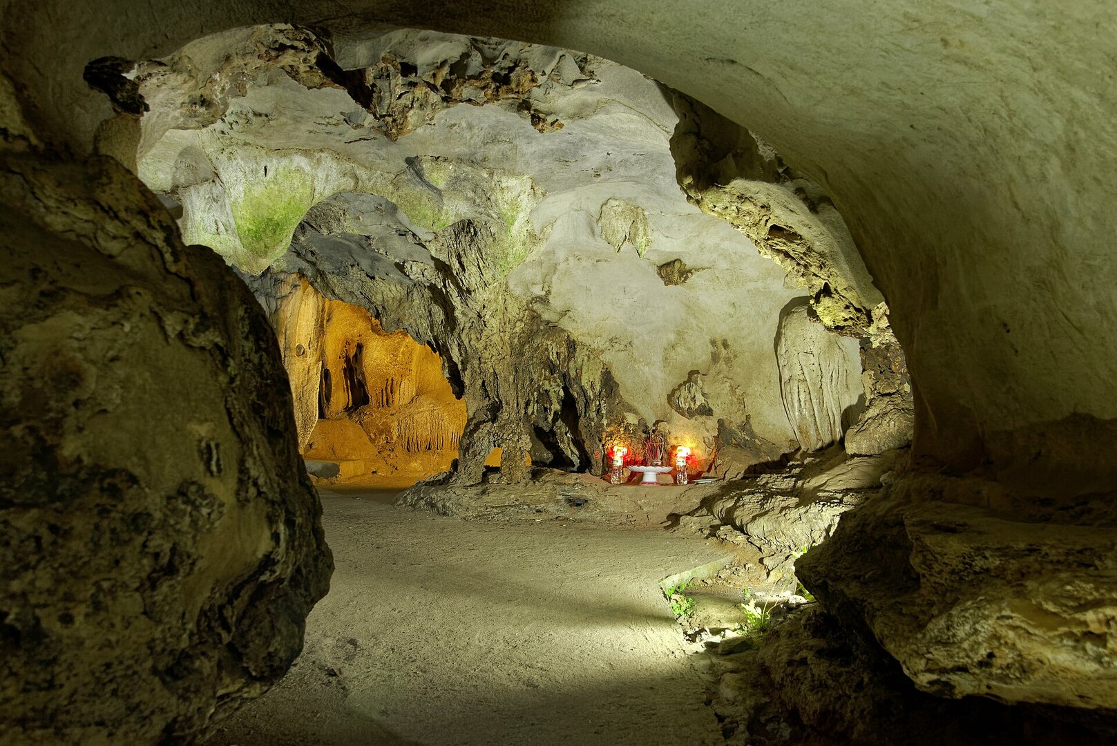
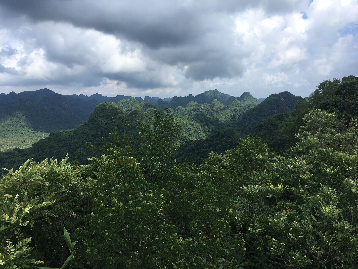
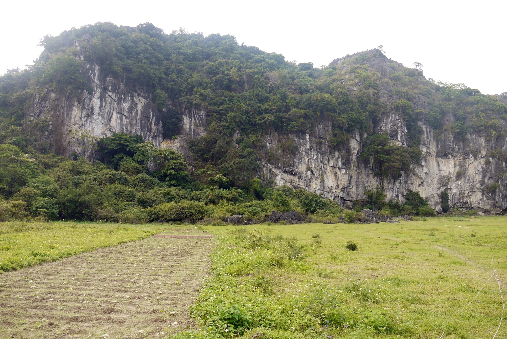
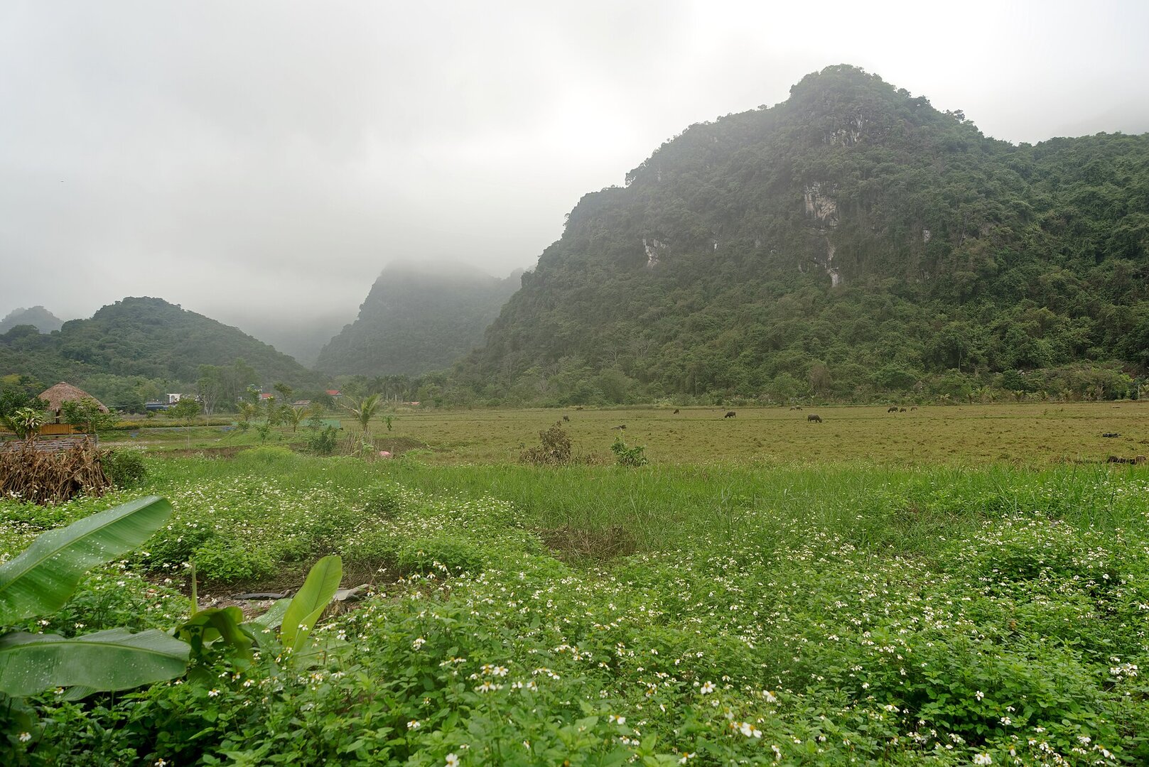
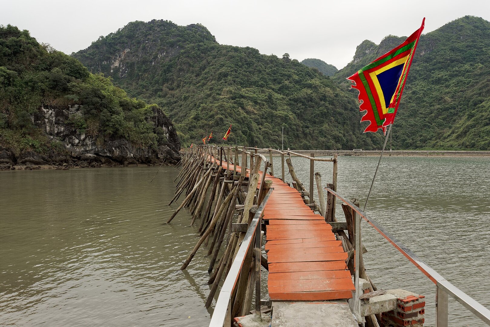
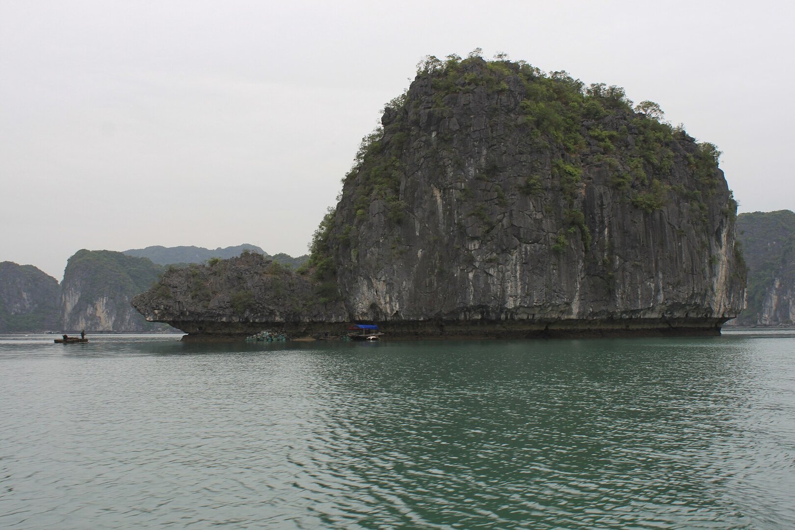
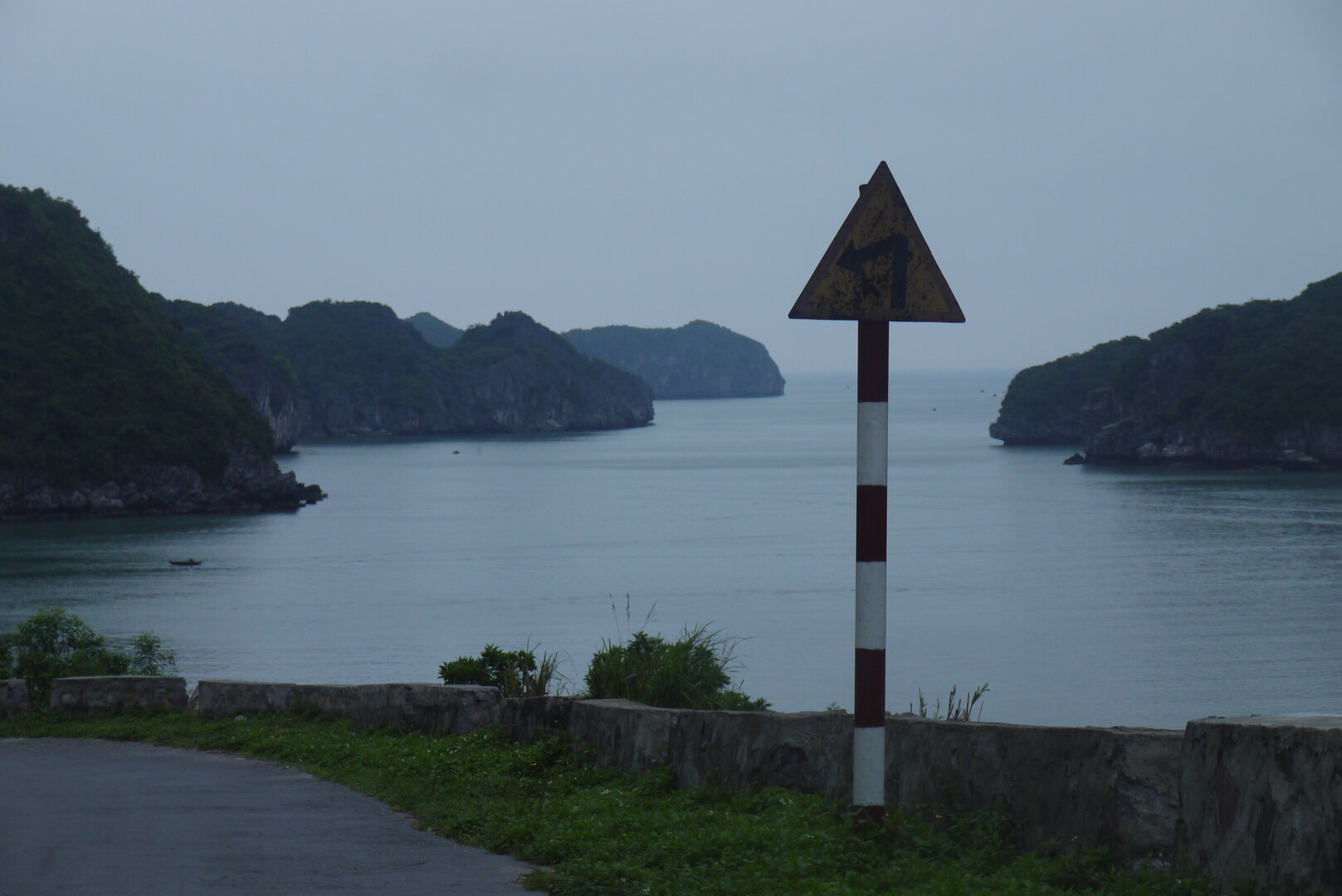
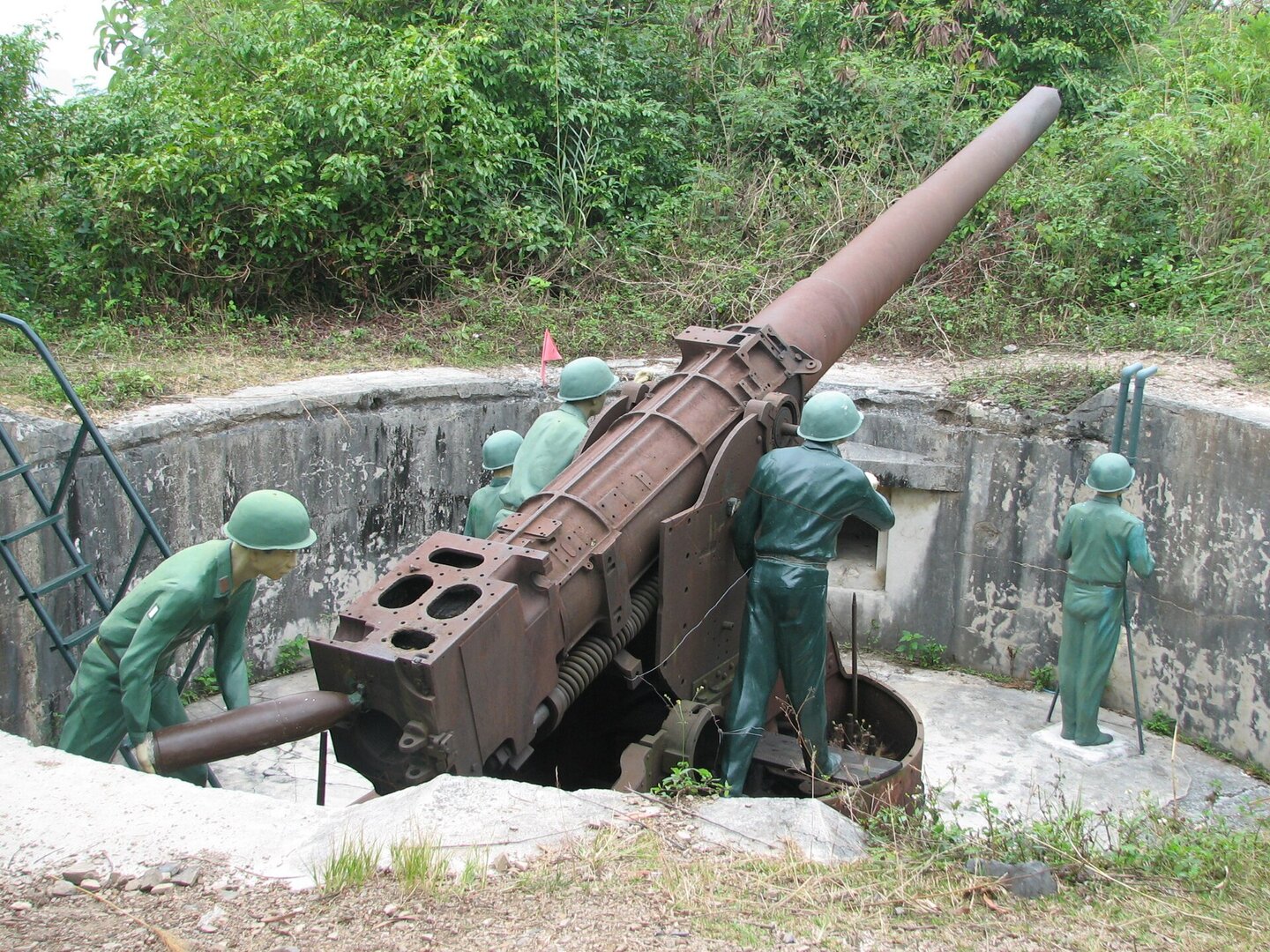
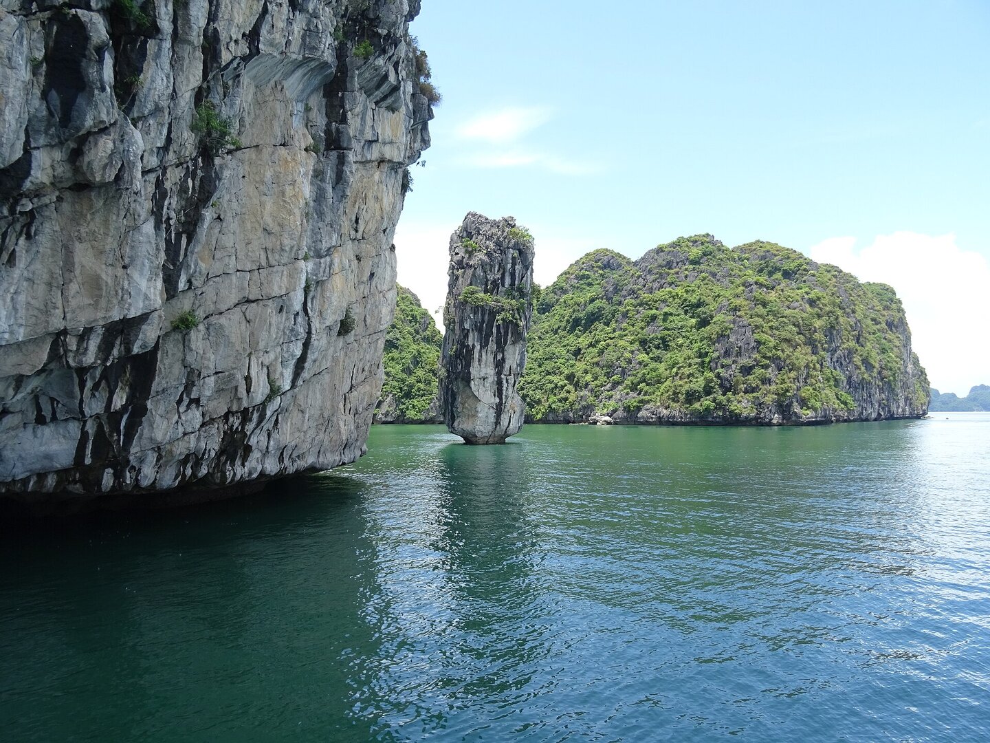
Cát Bà is the largest island of the Cát Bà archipelago, set among more than three hundred limestone islands on the edge of Lan Hạ Bay, next to Hạ Long Bay. Since 1 Jul 2025 it has belonged to Cát Hải special zone (đặc khu), Hải Phòng. The landscape is cone- and tower-shaped limestone karst drowned by the sea. The island's interior is evergreen rainforest growing straight on limestone, its roof is Cao Vọng peak, and it has no rivers or streams that flow all year (UNESCO Man and the Biosphere programme; Nature and Biodiversity Conservation Agency). People have lived in this area for at least 6,000 years (UNESCO). The island also keeps Thần Công Fort, with two large guns and trenches from the 1940s, and Hang Quân Y (the Hospital Cave), a field hospital built inside a cave in the mid-1960s.
Busy and quiet times
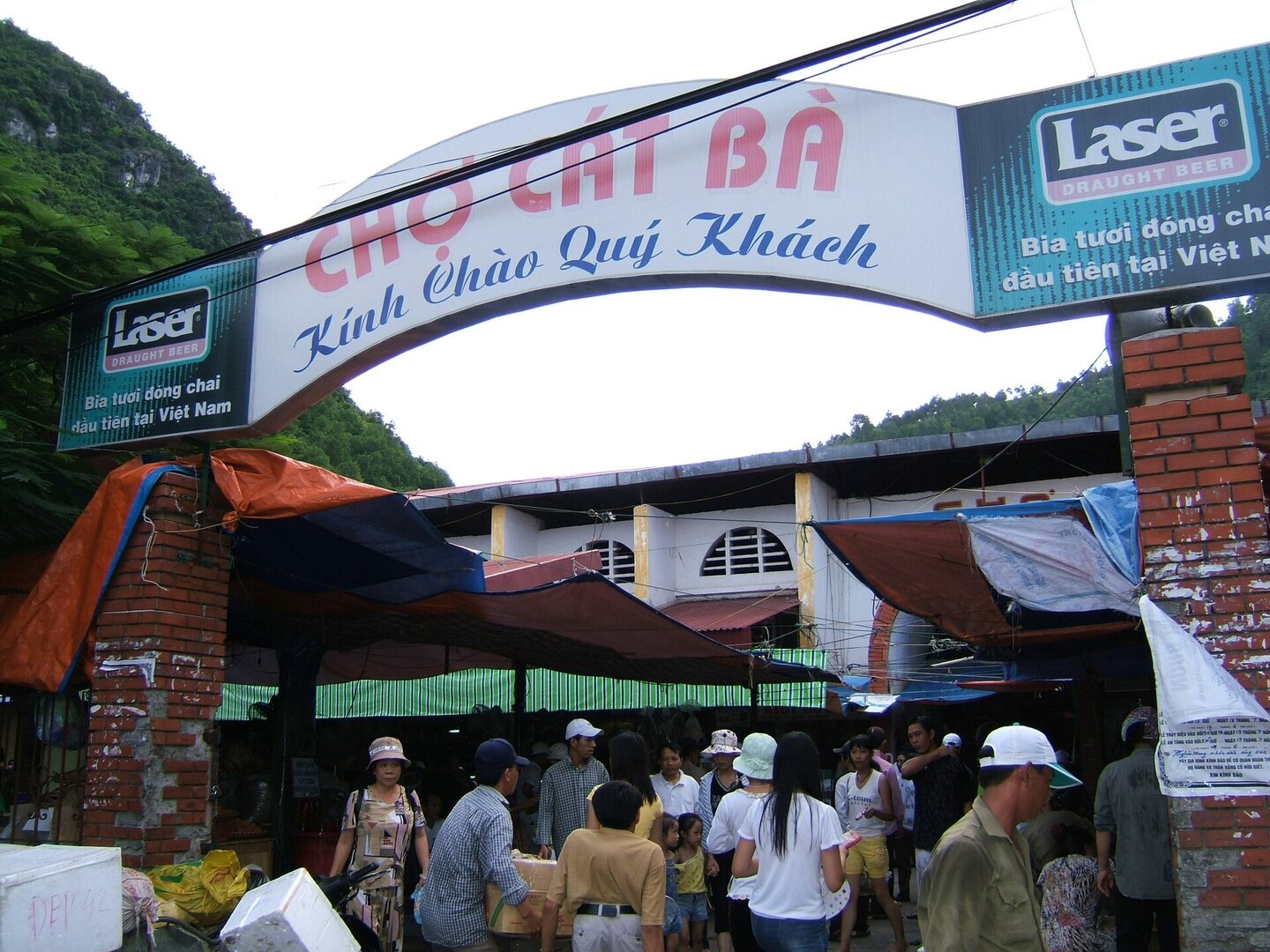
Peak season is May–July. On public holidays and summer weekends, the road to Đồng Bài ferry pier can be jammed for hours. From November to March the island is fairly quiet, suiting people who want to walk in the forest and enjoy calm views.
Photographs
11 of 11 on fileThe story
Cát Bà: an old fort, a cave hospital and a forest that was kept
On a limestone summit, two large guns from the 1940s, looking out over a sea studded with more than three hundred rock islands. This is Thần Công Fort, and the trenches and bunkers around the guns are still fairly intact. Beneath lies Cát Bà Island — the largest of the Cát Bà archipelago, on the south-eastern edge of Lan Hạ Bay, right next to Hạ Long Bay, now part of Cát Hải special zone, Hải Phòng. The past did not leave one thing here. It left layers.
Vibe
Tags
Source
Facts about Cát Bà Island were checked on 21 Oct 2026. The island's position in the archipelago comes from English Wikipedia. The administrative unit (Cát Hải special zone, since 1 Jul 2025) comes from VietNamNet. The karst landscape, the ecosystems, the Cát Bà langur, the hawksbill turtle and at least 6,000 years of human settlement come from UNESCO's Cát Bà Biosphere Reserve page (Man and the Biosphere programme). From the English site of the Nature and Biodiversity Conservation Agency: the national park's founding date (31 Mar 1986), the biosphere reserve recognition date (2 Dec 2004), Cao Vọng peak, the forest on limestone and the two-season climate. The World Natural Heritage inscription of Hạ Long Bay – Cát Bà Archipelago (16 Sep 2023) comes from VietnamPlus, cross-checked with the Hải Phòng government portal (2 Jul 2024). The langur population trend follows Nông nghiệp và Môi trường newspaper (4 Oct 2024) and the Hải Phòng portal (28 Sep 2023). The langurs' habit of sleeping in caves follows Nông nghiệp và Môi trường (27 Jun 2023). The effect of tour boats on the langurs is a conservation worker's statement in VnExpress (18 Jun 2023). Storm season, tides and cold winter water come from the Gulf of Tonkin hydro-meteorology page of the Vietnam Maritime Search and Rescue Coordination Centre (VMRCC); that page covers the whole region, not Cát Bà alone. The suspension of ferries, the cable car and swimming during storms is based on three reported events: VTC News (17 Jul 2023), SGGP (22 Jul 2024) and Tiền Phong (22 Aug 2026). Beach lifeguards follow Báo Hải Phòng (16 Jul 2026) and are confirmed for summer 2026 only. From the VnExpress travel guide (7 May 2022): the routes to the island, the distances, the hiking routes, Thần Công Fort, Hang Quân Y (the Hospital Cave) and the quiet winter season. From VnExpress's ferry-congestion report (30 Apr 2026): the traffic jams on the road to the pier. Đồng Bài pier replaced Gót pier from 1 Mar 2024 according to VOV. The dry-season forest fire risk follows Doanh nghiệp và Hội nhập. Rejected: all ticket prices and fees (the 2022 article is over three years old); summer 2026 ferry counts and car restrictions (no longer in force); outdated langur counts; the fixed 'no swimming after 6 pm' rule (tide times shift daily); the national park's area (sources disagree, from 9,800 to 17,360 ha); Đảo Khỉ (Monkey Island, a different island). Also rejected: every fact resting only on vietnamtourism.com (signs of auto-generated content), including the claim that 'no beach has lifeguards'. No source yet covers rip currents, fixed no-swimming zones or the national park management board's official rules. Photos come from Wikimedia Commons, credited individually.
Place data is compiled from many sources across the internet by a team of automated AI agents that collect, enrich, check, challenge, score, edit, review and verify it.

Star ratings & comments
Anyone can read. Sign in to rate, comment and like.