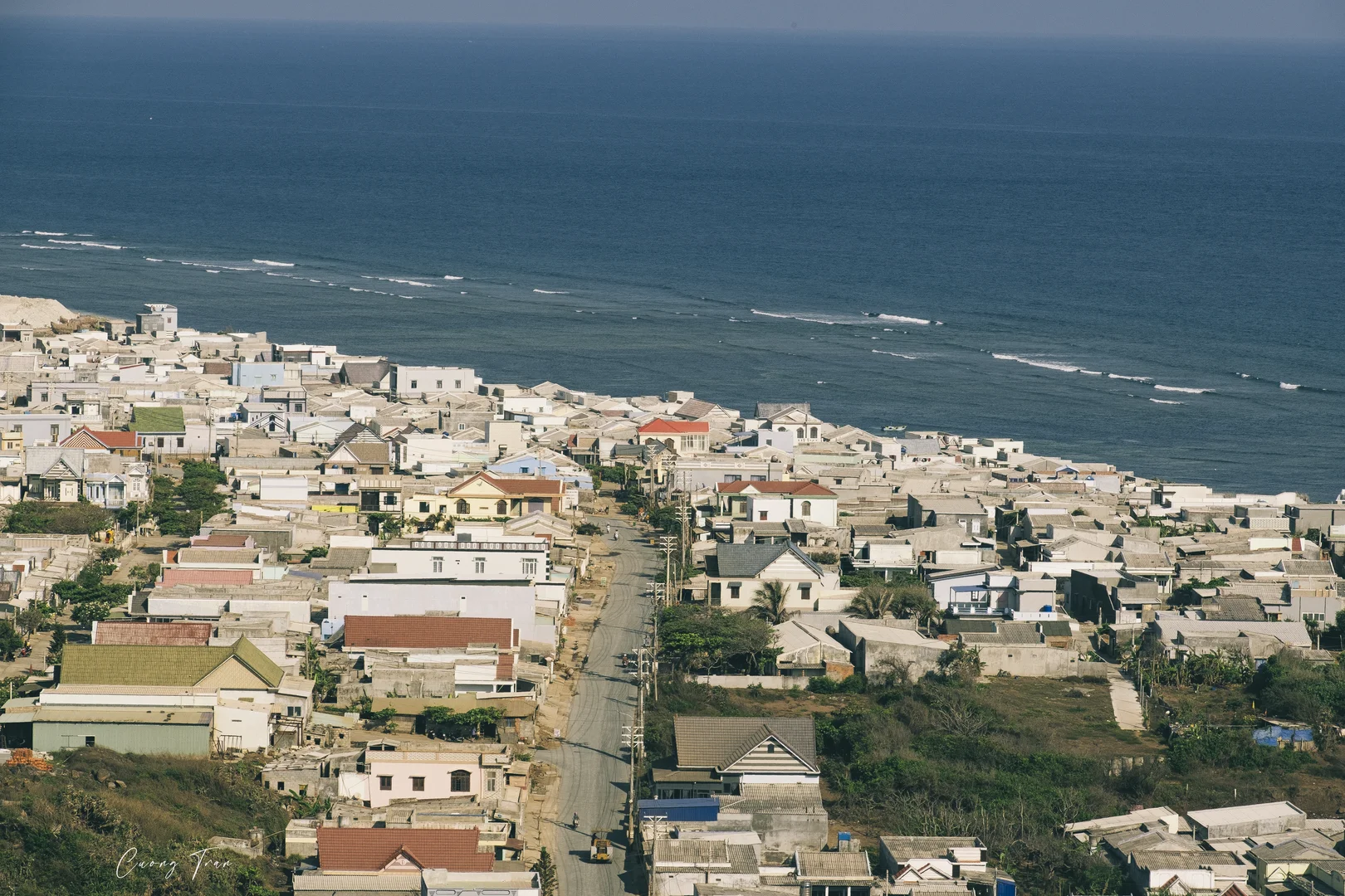
Photo: Cuong Tran (Flickr: Cuong Quoc) · Public Domain Mark 1.0
Đặc khu Phú Quý, Lâm Đồng · Nature · Island
Phu Quy Island
A small volcanic island 56 nautical miles from Phan Thiết, with white-sand shores broken by honeycomb lava cliffs, reachable only by high-speed boat — a crossing prone to seasickness that can be suspended for many days when the northeast monsoon arrives.
What people come for
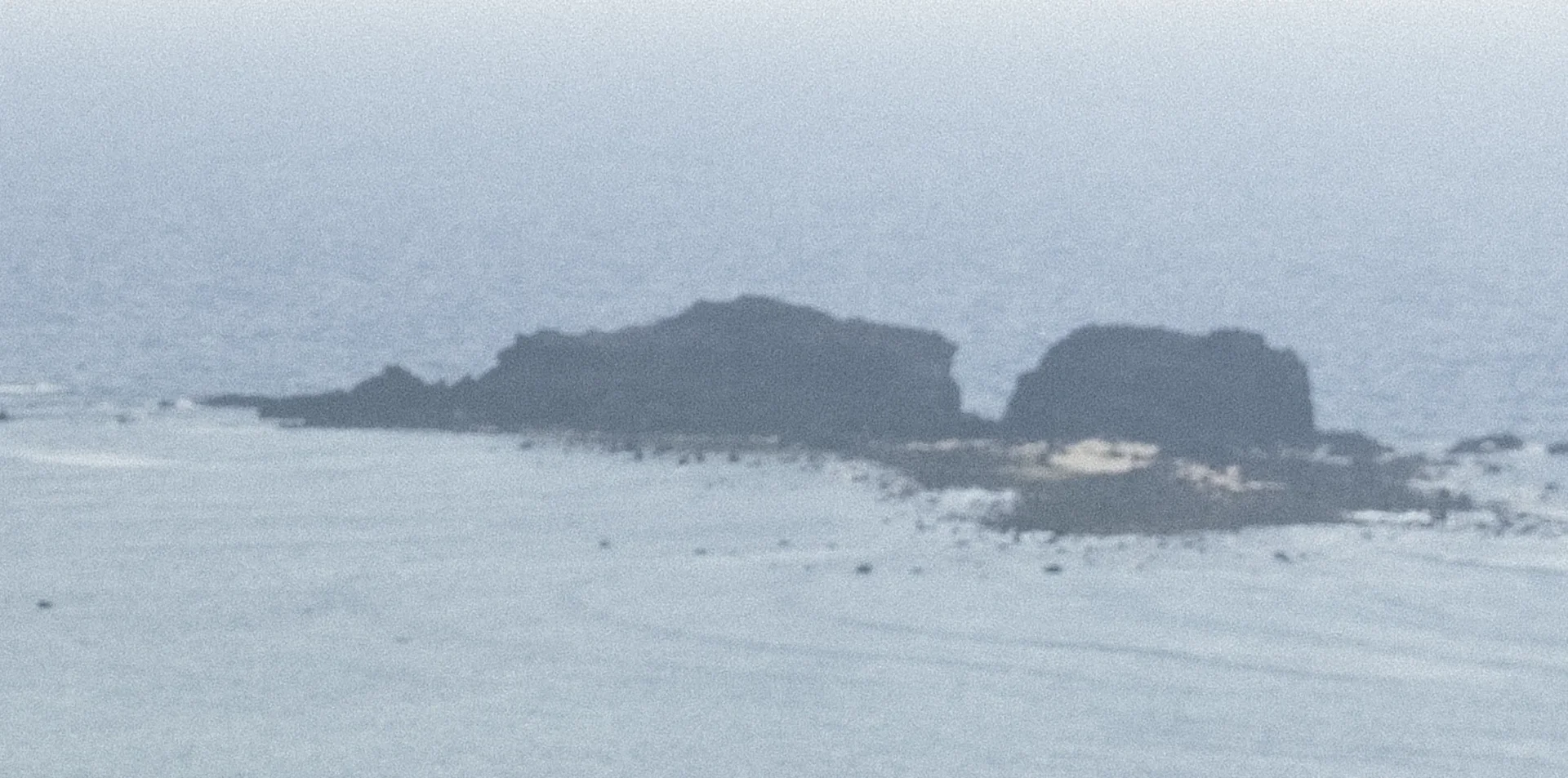
Visitors come to swim, do water sports and dive to see coral. They go up to the lighthouse on Núi Cấm, gather at the sovereignty flagpole area to watch the sunrise, and take a speedboat out to Hòn Tranh, about 600 m from the port. Vạn An Thạnh, which worships the whale god (cá Ông), is a national-level monument and still keeps the skeleton of a whale that washed up on the island in 1941.
Cuong Tran (Flickr: Cuong Quoc) · Public Domain Mark 1.0 · source
Illustrated map
Outline, roads and the islets around come from OpenStreetMap. Each pictogram is a verified point; where they crowd, they are moved apart with a dot at the true spot.
Getting there and around
Residents and visitors travel entirely by high-speed boat on the Phan Thiết – Phú Quý route. The island is 56 nautical miles, nearly 104 km, from the mainland. According to the operator Phú Quý Express, the boat trip takes about 2 hours 15 minutes. Boat pilots regard this stretch of sea as one of the hardest routes in the whole country, with the boat shaking and seasickness easy to get. The lighthouse is open free of charge.
Before you go
In the northeast monsoon season, roughly from late autumn to the end of spring, the sea is rough; boats can stop for several days in a row and visitors can get stuck on the island. Summer also has spells when boats stop because of bad weather or tropical depressions. At Gành Hang, do not go near the edge of the 'infinity pool' because waves can pull you out to sea. A stand-up paddler has been pushed far from shore by waves, and no source confirms that any beach has lifeguards. Wade out to Hòn Đen only at low tide. Camping overnight requires prior permission.
Thái Nhi (vi.wikipedia) · Public domain (PD-user) · source
What this place is
Phú Quý (formerly Cù Lao Thu) is the largest island of Phú Quý special zone, Lâm Đồng province. The island is volcanic in origin, and its two volcanic cones are núi Cấm and núi Ông Đụn. The island's shore is white sand beaches interspersed with stacked honeycomb lava cliffs. The wind on the island is very strong all year round.
Photographs
Cuong Tran (Flickr: Cuong Quoc) · Public Domain Mark 1.0 · source
Cuong Tran (Flickr: Cuong Quoc) · Public Domain Mark 1.0 · source
Cuong Tran (Flickr: Cuong Quoc) · Public Domain Mark 1.0 · source
Cuong Tran (Flickr: Cuong Quoc) · Public Domain Mark 1.0 · source
Cuong Tran (Flickr: Cuong Quoc) · Public Domain Mark 1.0 · source
The story
Phú Quý Island: what Cù Lao Thu has kept
Picture stepping onto an island that old chronicles called by many names: Cổ Long, Thuận Tịnh, Cù Lao Khoai Xứ, Cù Lao Thu ("cù lao" is an old Vietnamese word for an offshore island). Western mariners knew it as Poulo-Cécir-de-Mer. Today it is Phú Quý Island — not to be confused with Phú Quốc — the largest island of the Phú Quý archipelago, 56 nautical miles off Phan Thiết, part of Phú Quý special zone in Lâm Đồng province. The oldest thing here was made by no one. The island was born of a volcano: Cấm and Ông Đụn hills are two volcanic cones, and the shore alternates white sand with honeycombed lava rock stacked right at the water's edge.
Vibe
Tags
Source
The island's identity was cross-checked between OpenStreetMap (relation 11598234) and Wikidata (Q1320122). The names through the ages, the administrative level (Phú Quý special zone, Lâm Đồng province), the volcanic origin, the small islets and the tides come from Vietnamese Wikipedia. The distance of 56 nautical miles and the island's dependence on high-speed boats come from Báo Lâm Đồng (19 Nov 2025), matching Nhân Dân (2 Apr 2026) and VnExpress (26 Oct 2024). Boat times come from the page of the operator Phú Quý Express. The northeast monsoon season and the tourist season come from Người Lao Động (30 Dec 2025) and Znews (18 Feb 2025). The summer boat suspensions come from VnExpress (13 Jul 2024) and Znews (18 Sep 2024). The lighthouse, beaches, Gành Hang, camping and Vạn An Thạnh come from the VnExpress guide (published 29 May 2022, revised 7 May 2026). The coastal terrain, activities and the warning about the lack of rescue equipment come from Nhân Dân (2 Apr 2026). Rejected: the figure of 120 km and the 'December to June' window in the VnExpress guide, because they contradict three sources on distance and the boat suspensions in December and July; the sentence 'storm season September–November', because Wikipedia says the island has few storms; all information on the marine protected area, the number of species, the area and the height of the peak, because the sources differ or there is only one weak source. There is no state source yet on rescue or no-swimming areas, and the lack of such a source does not mean it is safe.
Place data is compiled from many sources across the internet by a team of automated AI agents that collect, enrich, check, challenge, score, edit, review and verify it.
Ratings & comments
Anyone can read. Sign in to rate, comment and like.