Cat Ba Island · Collection · 7 places

What is there to do on Cát Bà in winter, in November and December?

Best Nov–Dec

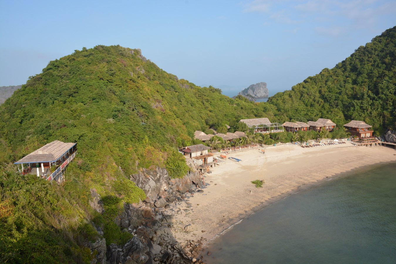
When the sea is too cold for swimming, people ask whether Cát Bà is still worth it in the cooler months. The answer lies on land and on the water: forest trails in the national park, boats from Bến Bèo pier out to Lan Hạ Bay, and the island's one north–south road, which you can ride by motorbike.

Viet Hai Village

Attraction · Cát Bà, Hải Phòng

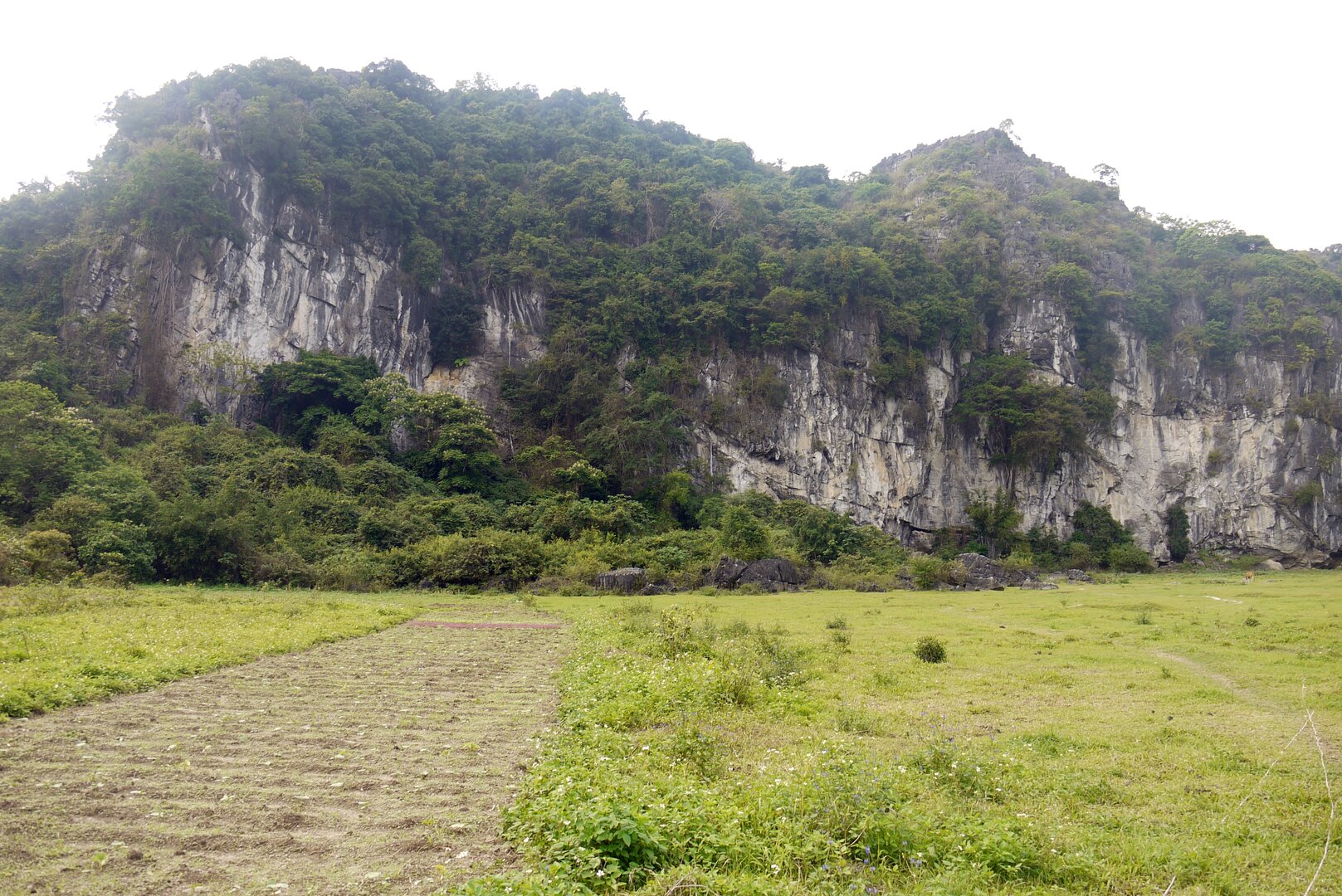
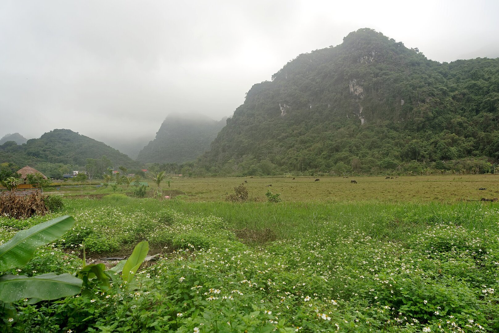
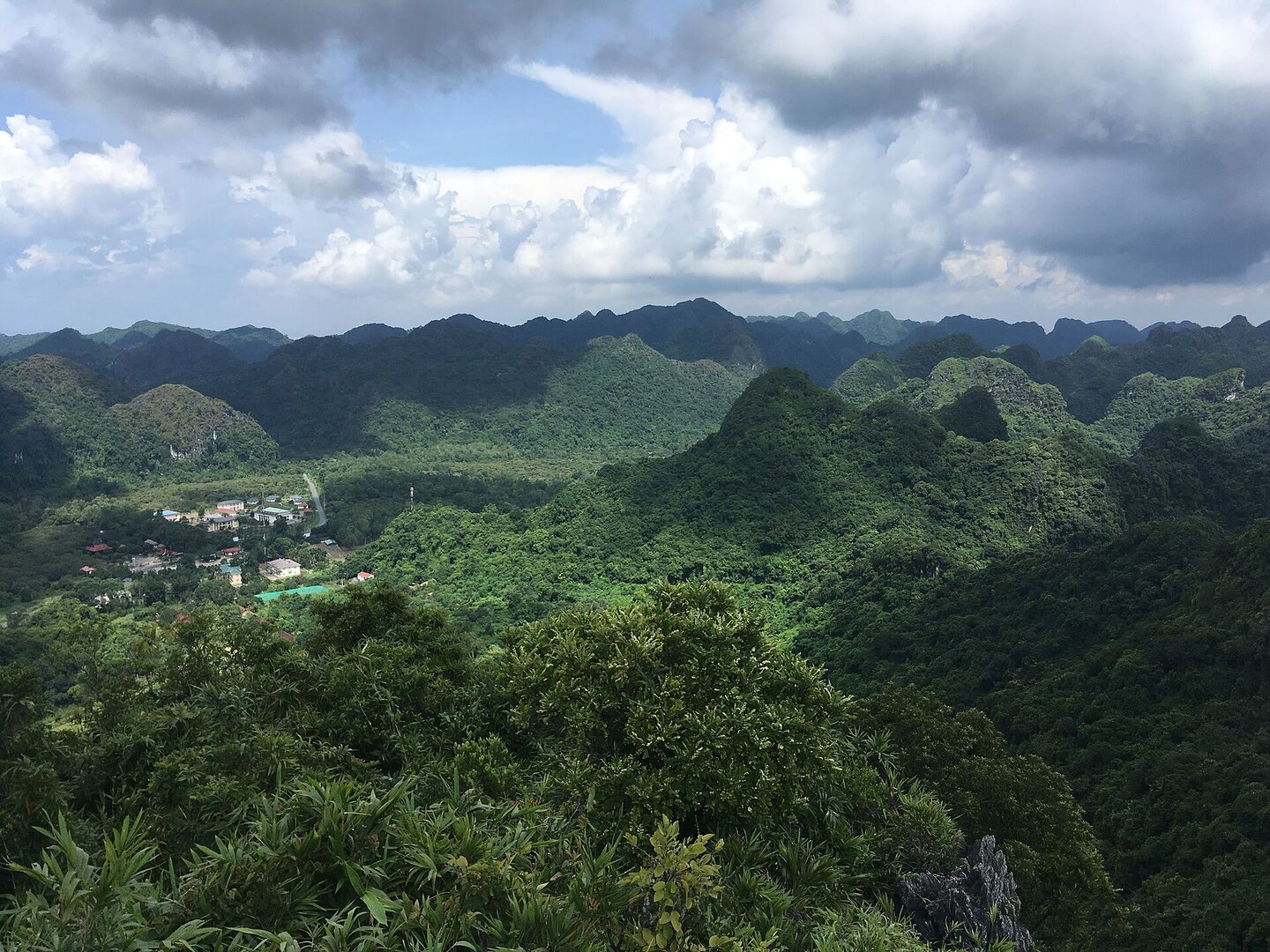
The village sits in a basin ringed by old-growth forest and limestone peaks; from autumn into spring, foreign visitors stay on to cycle and wander past stone-walled houses and rice fields. Get there by boat from Bến Bèo, or on foot along a long, hilly forest trail via Ao Ếch.

The village's location and identity were cross-checked against OpenStreetMap: Việt Hải is recorded as a village with its own polygon, its centre about 0.15 km from the pin (checked 3 Oct 2026). The basin terrain, how to get into the village, visitor activities and the rhythm of the tourist seasons come from an article in Đại biểu Nhân dân (Feb 2024). The village's history, as told by villagers, and the stone-walled houses come from Người Lao Động (Feb 2026). The thung áng (karst valleys) and the stream come from the Ministry of Culture, Sports and Tourism (Sep 2025). The location within the National Park and the height of the mountain come from Vietnamese Wikipedia. The forest trail via Ao Ếch comes from the Hải Phòng Portal. The electric carts at the pier come from VnBusiness (30 May 2025). The 2025 recognition as a community tourism site, the pledge not to use petrol motorbikes and the address of Việt Hải hamlet come from Tiền Phong (1 Oct 2026). The season for walking the forest trail, safety on the forest trail and the park's rules come from Báo Hải Phòng (Sep 2025). The climate and storm season come from the Gulf of Tonkin hydrometeorological page of the VMRCC. The sea bans during storms come from aFamily (22 Aug 2026), Báo Hải Phòng (20 Jul 2025) and Zing (6 Sep 2024). The flooding in Aug 2026 comes from Tiền Phong (24 Aug 2026). The swimming advisory comes from VnExpress (Aug 2023). The entrance fee comes from VnEconomy (26 Jul 2024). Rejected: information on renting motorbikes from the pier into the village (VNA Feb 2024, outdated compared with Tiền Phong Oct 2026); kayaking, because it has been halted on the bays around Cát Bà since 15 Nov 2024 (Tuổi Trẻ, VnExpress) and no source says it has resumed; the fee figure of 80,000 VND (commercial site, 2023, outdated); 'white-headed' langurs in the village (wrong species, and no source places a langur herd at Việt Hải); 'Hải Quân hill 700 m high' (exceeds the height of the whole park); the name 'Cát Bà special zone' (the correct name is Cát Hải special zone); the sentence 'the fish live only in limestone water here' (no biological documentation); the ripe-rice season and the fog season (found only on commercial sites, and the sources contradict one another); and all figures for travel time. Not verified: whether the village lies in the core zone or the buffer zone of the National Park; the state of the road in 2026; and the safety of sea swimming specifically at Việt Hải.

In your storytelling mode · Modern Heritage

“Picture the light switch on your wall, the one you flick every evening without thinking. In Việt Hải, the national power grid only reached the village in 2015.”
Cat Ba National Park

Park · Cát Bà, Hải Phòng

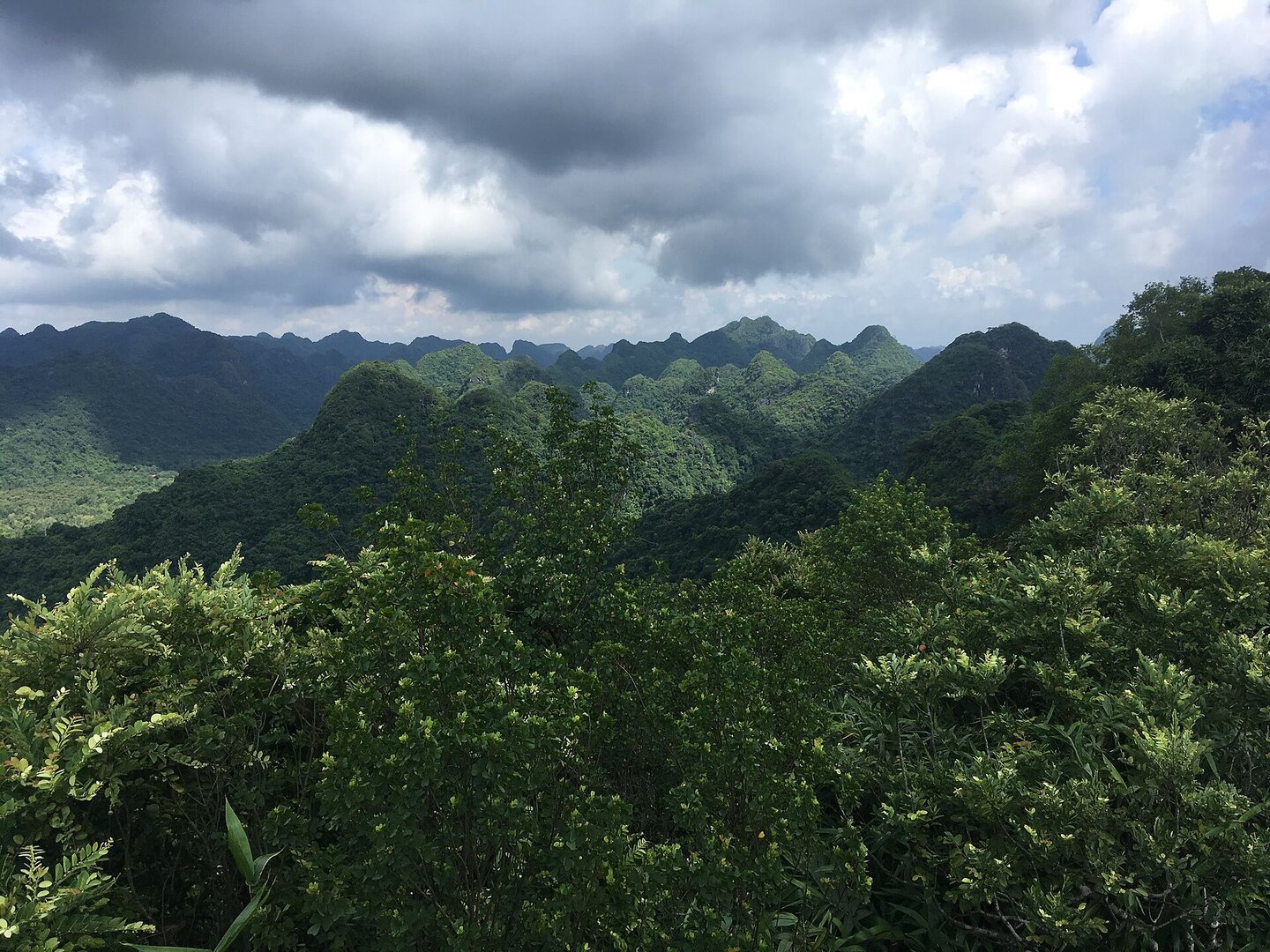
On some days a thin mist covers the trails, and walking the forest now is far less tiring than in the hot summer full of mosquitoes and leeches. The short routes take in a specimen house of the park's animals and plants; the long Mây Bầu – Ao Ếch – Áng Phay – Việt Hải trail takes most of a day.

The park's name, boundary and website come from the national-park boundary relation on OpenStreetMap. The administrative unit (Cát Hải special zone, Hải Phòng) was cross-checked with Nominatim; the pinned coordinates lie within the park boundary. The founding year of 1986, the area of more than 17,000 ha, the karst terrain, the visitor routes, Trung Trang cave, the specimen house, the marine part and the phone number come from the official website of Cát Bà National Park; the founding year was additionally cross-checked against Wikidata. The ecosystem and the title of World Biosphere Reserve (2004) follow UNESCO's Man and the Biosphere programme; the title of World Natural Heritage Hạ Long Bay – Cát Bà Archipelago (16 Sep 2023) follows Vietnamese Wikipedia, because UNESCO's page would not open. The seasonal Ao Ếch pond and the frogs' calls follow Người Đưa Tin (15 Jan 2024). The rainy season follows the Department of Nature Conservation and Biodiversity; the storm season follows the Gulf of Tonkin meteorology and hydrology page of VMRCC. The note on trails and early-morning mist follows Hải Phòng newspaper (21 Sep 2025) and VnExpress (20 Sep 2020); the article on langsontv.vn is a repost of the VnExpress article, so it counts as only one source. The number of langurs follows Thanh Niên (14 Sep 2026); the visiting fee follows Thanh Niên (29 Jul 2024). Not included: the number of the founding decision (two pages of the park give different numbers), how the area is split between the island part and the marine part (pages disagree; the 26,000 ha figure in an older article is the area of the biosphere reserve, not of the park), the elevation of the peaks and the length of the caves (sources disagree), the exact number of langurs (2024–2026 sources give from 60 to about 100), the number of mammal and bird species, a 'best season' (sources contradict themselves), and the claim that the park lies across two provinces. There is no source on safety for swimming or diving at sea, so the page does not say this sea area is safe. Checked on 3 Oct 2026.

In your storytelling mode · Modern Heritage

“Picture Ha Long Bay, a name you have probably heard. In 2023, UNESCO listed the bay as a World Natural Heritage site together with another archipelago: Cat Ba.”

Ngu Lam Peak

Nature · Cát Bà, Hải Phòng

The path starts near the park gate, climbs through an almost pure kim giao forest and around sharp limestone outcrops, and ends at a rest shelter on the summit looking out over limestone islands. Go in the morning in grippy shoes, as damp rock is slippery; Lan Hạ Bay only shows on a clear day.

The identity and position of the peak follow OpenStreetMap: the peak 'Ngu Lam peak', about 4 m from the pin. The Vietnamese name follows the pages of Cát Bà National Park; the English name follows OSM. The Kim Giao – Ngự Lâm – Trung Trang cave route, the kim giao forest, the rest shelter, the view of Lan Hạ bay, the advice to wear shoes with good grip, the daytime opening hours and the 2023 World Natural Heritage milestone of the Hạ Long Bay – Cát Bà Archipelago complex come from the pages of the Park Management Board (ticket-price page updated 23 Apr 2026; clip Jul 2026). The difficulty, the advice to climb in the morning, the mosquitoes and leeches and the absence of food stalls come from VnExpress (20 Sep 2020). The steep section over karst rock comes from anhp.vn (2019). The ticket route comes from Thanh Niên (29 Jul 2024). The rules for entering the forest and the view come from Báo Hải Phòng (11 Sep 2026). The climate follows nbca.gov.vn and VMRCC. Typhoon Yagi follows Zing (18 Oct 2024). The Cát Bà langur and the year the Park was founded follow the Vietnamese Wikipedia. The distance from town and the advice to go in a group appear only on tour sites (Cát Bà Green Trail, Quang Thắng Cát Bà). Rejected: 'highest peak on the island' or 'highest in the Park' (there is a peak of 320–331 m on the island); the altitude, because the three figures 220, 225 and 273 m disagree, even between the official source and the press; the length of the route (five figures from five sources); the climbing time given in minutes; the 2020 ticket price and tour prices; 'best season', because blogs contradict each other; the number of floors of the shelter; the species 'you may see if you are lucky'; and the scientific name of kim giao, because the Park's website and the sign on the way up give two different names. Photos: Christophe95 and Tuyencabr (CC BY-SA 4.0), Jakub Hałun (CC BY 4.0) on Wikimedia Commons; the licence and author of each photo were re-checked on Commons on 3 Oct 2026.

In your storytelling mode · Modern Heritage

“Picture Hạ Long Bay, a name almost everyone knows. Since 2023 it has shared a World Natural Heritage listing with the Cát Bà archipelago, and Ngự Lâm Peak is one of the places to stand and look out over that archipelago.”

Trung Trang Cave

Nature · Cát Bà, Hải Phòng

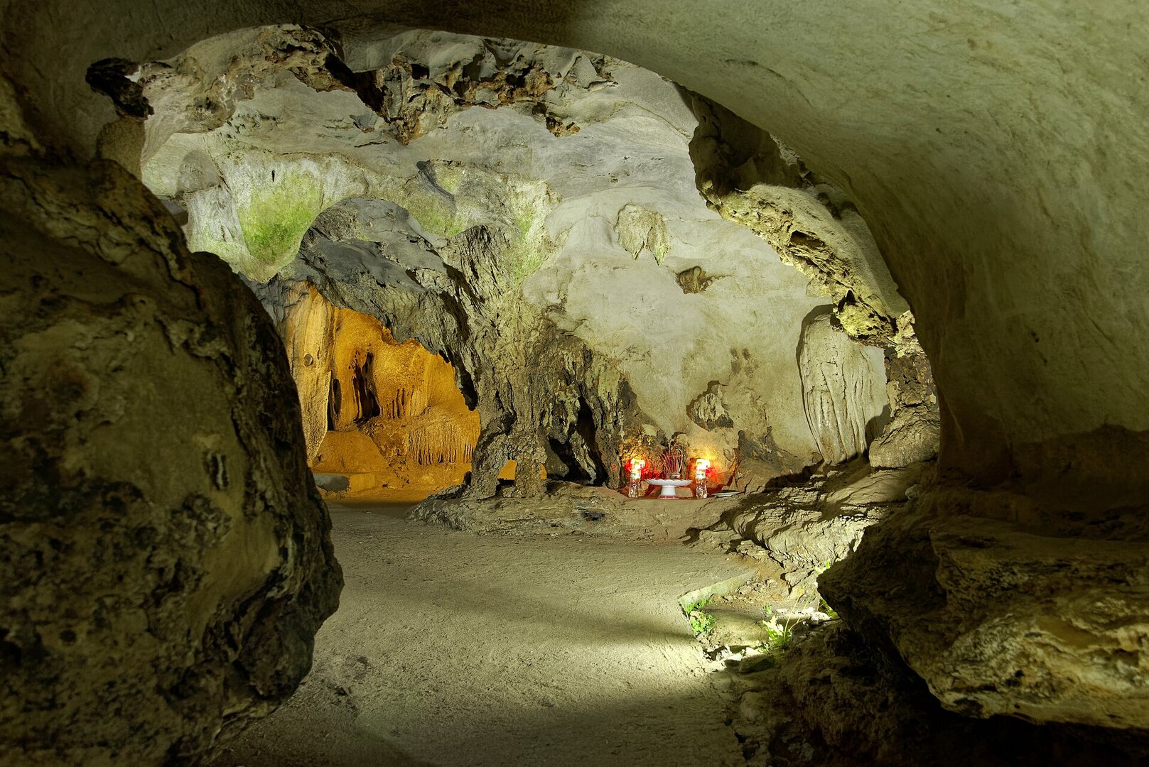
A one-way walk through the mountain: in at one entrance, past stalactites under deliberately low lighting, and out the other side. In midsummer the cave can be packed; in winter it is far emptier and quieter.

The name, the English name and the position follow Wikidata (the Trung Trang Cave entry) and OpenStreetMap, including the two cave-entrance nodes and Hùng Sơn street. The pinned coordinates are about 127 m from the cave entrance on OSM. The history of the names (Dơi cave, Hải Quân cave), the legend of Bà Chúa Trung Trang, the million-year-old stalactites and the policy of keeping lighting low come from the introduction of Cát Bà National Park (2023). The multi-entrance cave type, the beauty of the stalactites and the species that shelter in the cave come from VOV (8 Sep 2024), the words of a Park officer. The capacity and the Trung Trang karst valley come from the Vietnamese Wikipedia. The ticket route comes from the newspaper Thanh Niên (29 Jul 2024). The seasonal climate comes from the Gulf of Tonkin hydrometeorology page (VMRCC). The winter lull in visitors comes from CafeBiz (29 Jan 2026). The one-way route, the difficulty of the path, the slipperiness in the rainy season and the temperature in the cave appear only on tour pages and travel pages (Vietsense Travel, Quang Thắng Cát Bà, Cát Bà Du Ký, Sun Paradise Land). Rejected: the length of the cave (300, 400 and 700 m differ, even between two articles on the same page of the Park), the age '6 million years', the dates 1964–1968, traces of ancient Việt people (there is no archaeological record), ticket price (the 2024 level was adjusted in Apr 2026), hours to the minute, 'best season' (contradicts meteorological data) and the number of langurs. Photos: Jakub Hałun (CC BY 4.0, 2024), Christophe95 and Vuong Tri Binh (CC BY-SA 4.0) on Wikimedia Commons; the licence and author of each photo were re-checked on the Commons page on 3 Oct 2026.

In your storytelling mode · Modern Heritage

“Picture the name Ha Long Bay, then carry on to the Cát Bà archipelago, which UNESCO joined to it in 2023 as a single World Natural Heritage complex. Follow the cross-island road, turn into a limestone valley, and step inside a mountain.”

How this collection was made

Where the question comes from

From a situation travellers actually run into — season, weather, crowds, pace — not from a topic someone wants promoted.

Each reason

Comes from checked facts about that very place. No prices, no opening hours.

Who made it

Drafted by Vietlume's research agents and approved by an editor before going live. Updated 26 Oct 2026.