Mù Cang Chải, Lào Cai · Nature
Khau Pha Pass
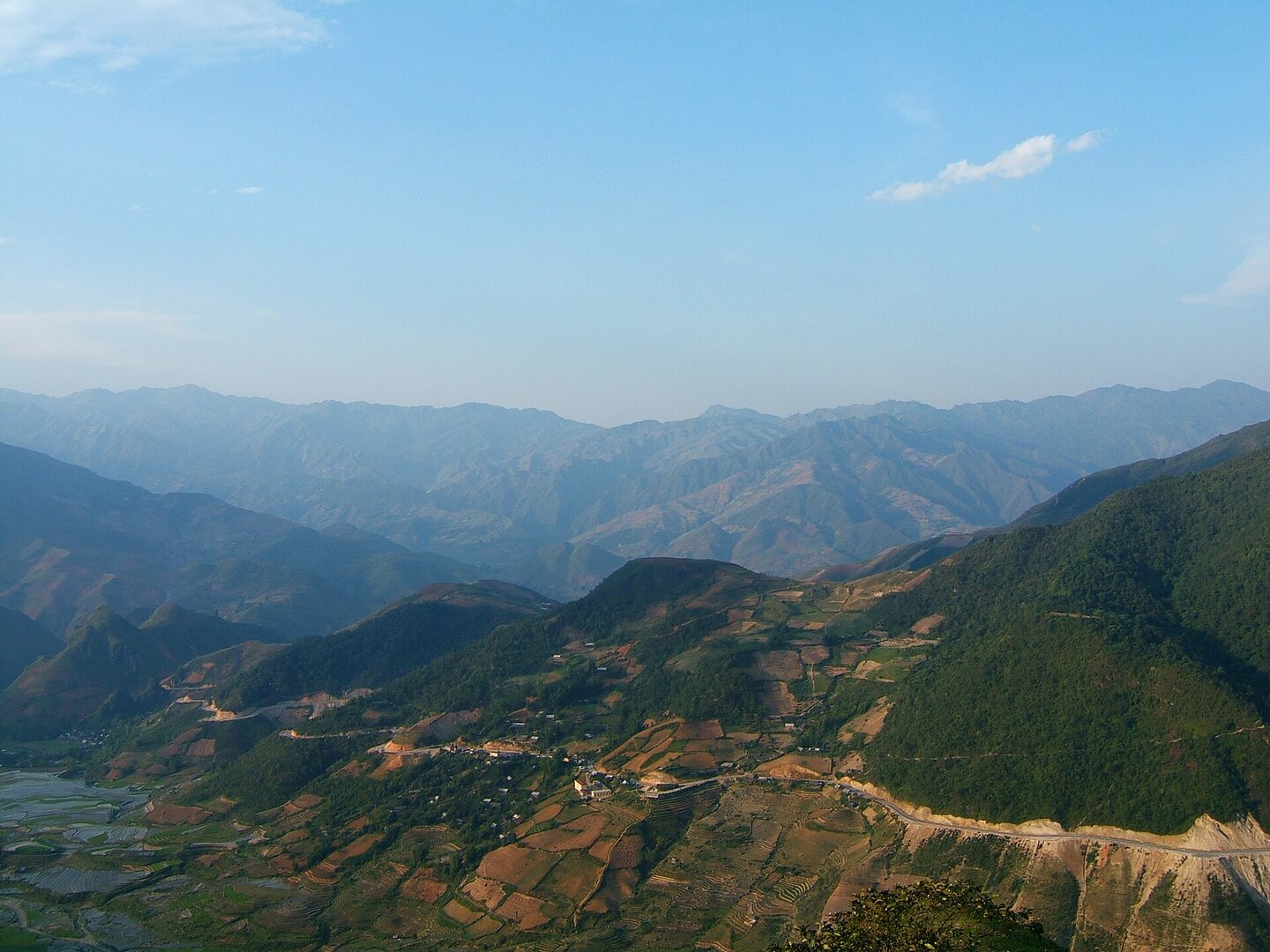
A pass on National Highway 32 in Lào Cai province, climbing from the valley floor to the summit through a few dozen hairpin bends and opening onto the Lìm Mông – Tú Lệ terraced-rice valley; it is also a paragliding take-off point and the only road up to the rice-growing area, so rainy-season landslides decide how a trip goes.
01What people come for
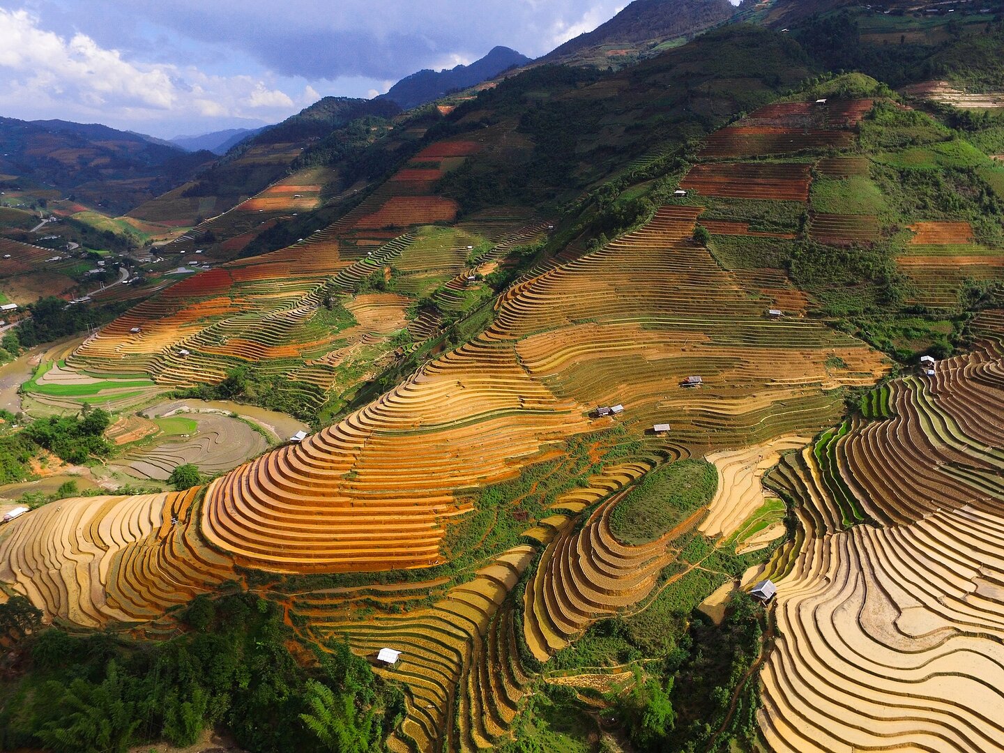
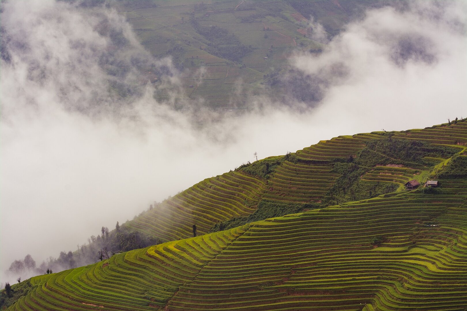
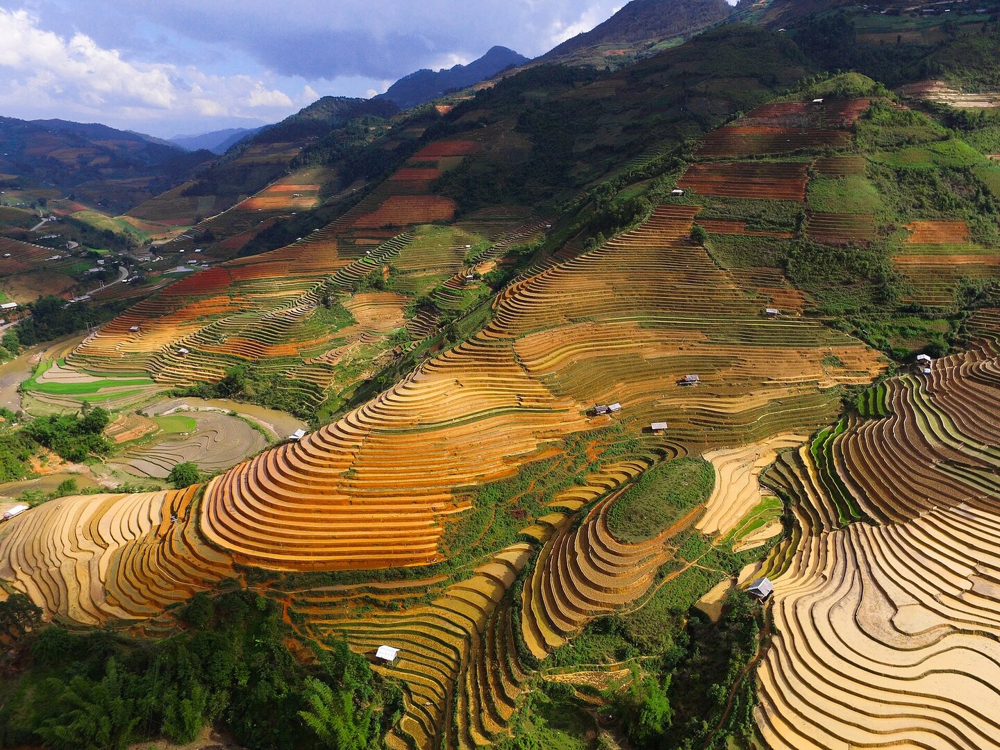
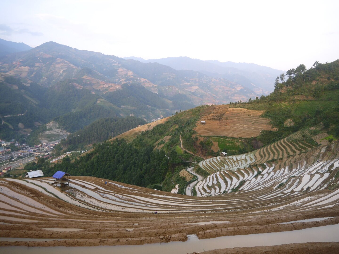
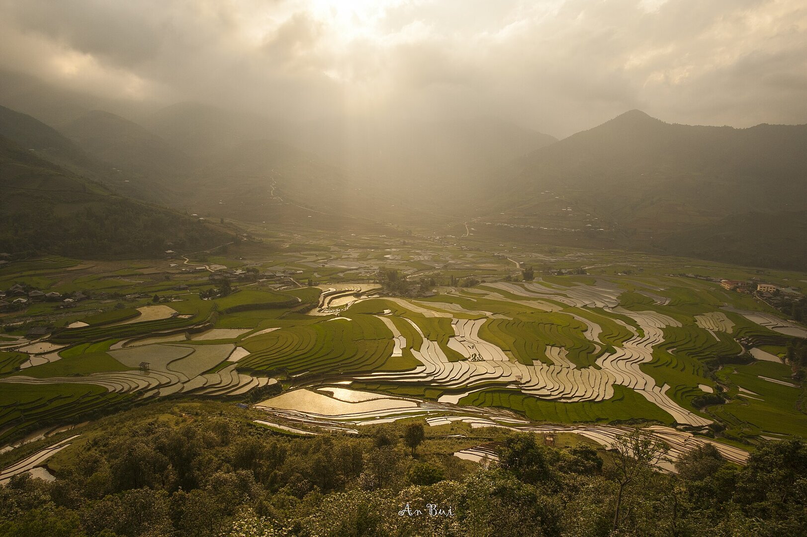
People come here to look from the summit of the pass down into the Lìm Mông and Tú Lệ valleys with the terraced fields of the H'Mông and Thái people, and to paraglide: the pilot takes off right from the summit of the pass, flies along the rice valley and lands on a field at the foot; visitors fly tandem with the pilot and need no experience.
Getting there and around
The pass lies on National Highway 32 and is the main road route up to the terraced-field region; the page's pin is at the summit of the pass, about 30 m from the highest point of the road that bears the pass's name. No source says whether this place has or does not have an admission ticket or a parking fee at the rest stops — so the page does not assert either way. Paragliding is a paid service, with insurance included.
Victor311 (Wikimedia Commons) · CC BY 4.0 · source
Before you go
The ripe-rice season on the terraced fields on both sides of the pass falls around September to October, and it overlaps with the tail of the rainy and stormy season: the pass bed lies in a region of red basalt soil, a weak soil system prone to landslides and subsidence, with the added risk of rockfall from the cliffs. In two consecutive years, 2024 and 2025, the road over the pass was cut off by earth and rock for several days, and on one occasion a whole group of tourists was stranded on the pass overnight because a landslide blocked both sides. In 2026 the managing unit is still carrying out work to treat landslide points on the negative embankment slopes and keeps staff on duty 24/24 hours in the rainy and stormy season, so as of the time of verification the route should be treated as still subject to traffic regulation, and you should check road conditions before going. On cloudy, foggy days the pass is far more dangerous — a few dozen hairpin bends follow one another on the steep mountainside, visibility is sometimes down to a few dozen metres, and the summit then offers no view at all. The waterfall season in the valley at the foot of the pass is around late April to early June, but this timing depends on the rain each year; in the cold months from the end of the year into early the next year you can easily meet a sea of clouds, and some years it gets so cold that frost and ice appear on the summit; tớ dày flowers bloom pink on the slopes from mid-December into February, and the best spell each year is only about ten days.
What this place is
Khau Phạ in Thái means "Sừng Trời" (the Horn of the Sky) — a mountain horn jutting up to the sky; this is the stretch of National Highway 32 that climbs from the valley floor to the summit with an elevation gain of about eight hundred metres and a few dozen hairpin bends, and the road surface on the section named for the pass is currently surveyed as asphalt. At this altitude the pass is cool all year and the weather changes constantly through the day — folk saying has it that one day holds four seasons — and cloud covering the summit is a regular occurrence, not a rare one.
Busy and quiet times
Busiest in the ripe-rice season and the festivals around it — the paragliding service alone carries an average of about 2,000 visitors a year; outside those two periods, for most of the time this is a quiet stretch of national highway, with few large trucks because the gradient makes the route too long.
Photographs
3 of 3 on fileEugene Popov (iNaturalist) · CC BY 4.0 · source
The story
Horn of the Sky: what the old name kept, what the new road built
Picture yourself crawling up a mountainside, one hairpin bend feeding into the next, the valley dropping another step with every turn. From the valley floor to the top is a climb of some eight hundred metres in height, folded into a few dozen hairpins. Before you picture any further, though, there is one thing to know before you get in the vehicle: the pass is built on red basalt soil, a weak ground, so it slides and subsides easily, with the added risk of rockfall from the cliff face. The rainy season is the landslide season — in 2024 and again in 2025 the road over the pass was cut by earth and rock for days at a time, and on one occasion a whole group of travellers was stranded up here overnight with slides blocking both directions. Ask about road conditions before you go; don't let the pass tell you itself.
Vibe
Tags
Source
Information on the name, the shape of the pass route, the climate and the rice ripening season comes from the article "Đèo Khau Phạ" on Vietnamese Wikipedia; these sentences were re-checked by downloading the full page and matching each excerpt, on 17 Sep 2026. The flooded-field season is per Báo Lào Cai (Apr 2024), the frost spell on the pass summit per Báo Lào Cai (Jan 2021), and the tớ dày flower season per Báo Lào Cai (Dec 2025). Paragliding — how flights are organised, visitor numbers per year and the safety record from 2023 to early 2026 — is per Báo Lào Cai (Mar 2026) and Báo Văn hoá (Aug 2026). Landslide conditions and traffic regulation are per VietnamPlus (21 Jul 2024), VnExpress (2 Oct 2025), Tuổi Trẻ (9 Nov 2025) and Nông nghiệp & Môi trường (2026). The location of the pin was checked independently on 17 Sep 2026 using OpenStreetMap geometry and the SRTM30m elevation model from Open Topo Data: the pin is about 30 m from the highest point of the road that carries the pass's name. Three things were rejected and are deliberately NOT put on the page: the elevation of the pass summit (three sources give three figures describing three different things — the body of the pass, the paragliding take-off point, the top of the road — so no figure is stated); the length of the pass (21 km by geometric measurement, "over 30 km" in the body of the encyclopedia article and "about 40 km" in that article's own footnote); and the description "two thirds is gravel road" together with the sentence "the pass has no barriers or warning signs" — both come from one undated passage that contradicts current road-surface survey data, and writing them would mislead someone about to drive up there. The coordinates recorded on Wikidata (Q6400989) were also rejected: they lie about 4.5 km from the pass summit, at an elevation of about 820 m. The commune boundary of the summit point after 1 Jul 2025 has not been established from any source, so the page states only the province level.
Place data is compiled from many sources across the internet by a team of automated AI agents that collect, enrich, check, challenge, score, edit, review and verify it.
Ratings & comments
Anyone can read. Sign in to rate, comment and like.