Đặc khu Côn Đảo, Hồ Chí Minh · Nature · Island
Con Dao Islands
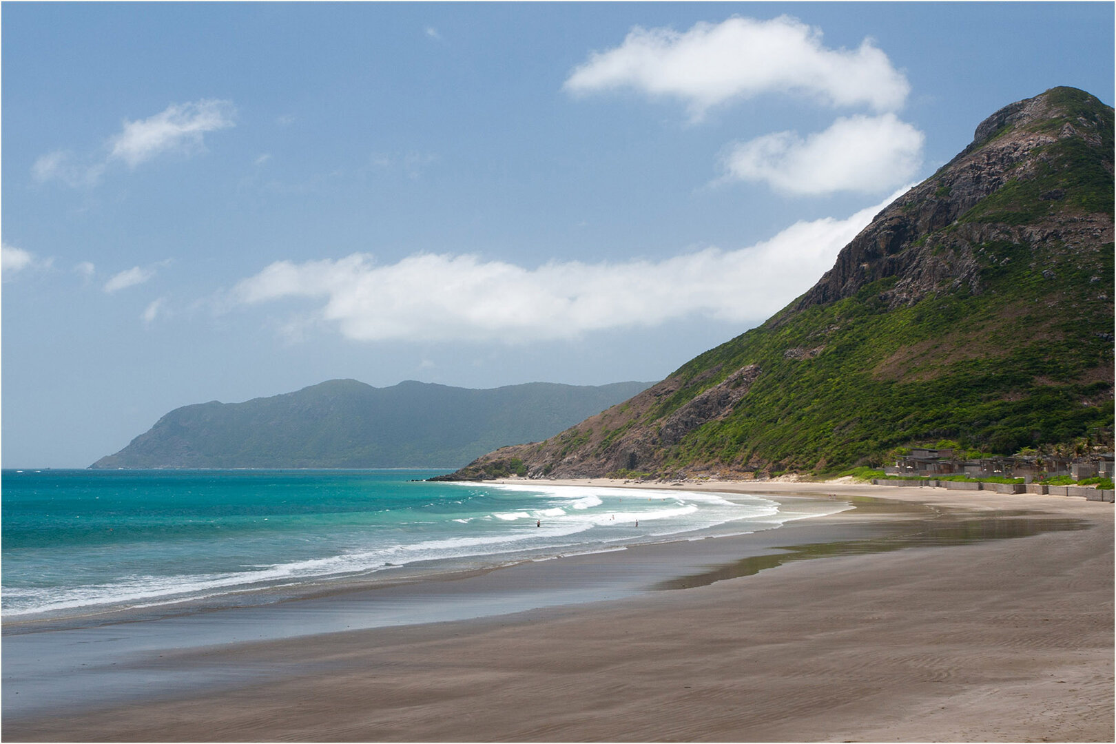
An archipelago of 16 islands out at sea, with most of its forest and sea belonging to Côn Đảo National Park: the main nesting beach of green turtles in Vietnam, with coral reefs and wild beaches reached only by walking through the forest.
Photo: Tuderna · CC BY 3.0
What people come for
People come to snorkel or dive to see coral (Hòn Tài, Hòn Bảy Cạnh and Bãi Ông Đụng are named as the best dive spots; dive sites may be closed to let the coral recover), to walk through the forest to wild beaches, and to watch green turtles come ashore to lay eggs. Côn Đảo accounts for about 90% of the green turtles nesting in Vietnamese waters. The turtle season runs from April to about October, thickest in June–September, and you may meet turtles but are not guaranteed to see them.
Lam Tr Th · CC BY-SA 3.0 · source
Illustrated map
Illustrated map
Outline, roads and the islets around come from OpenStreetMap. Each pictogram is a verified point; where they crowd, they are moved apart with a dot at the true spot.
Getting there and around
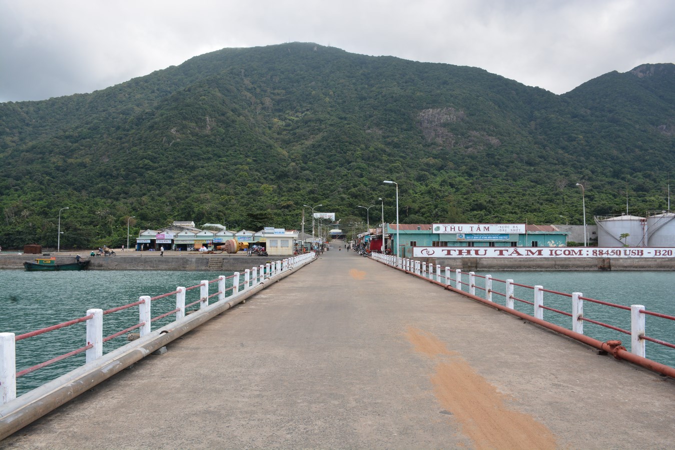
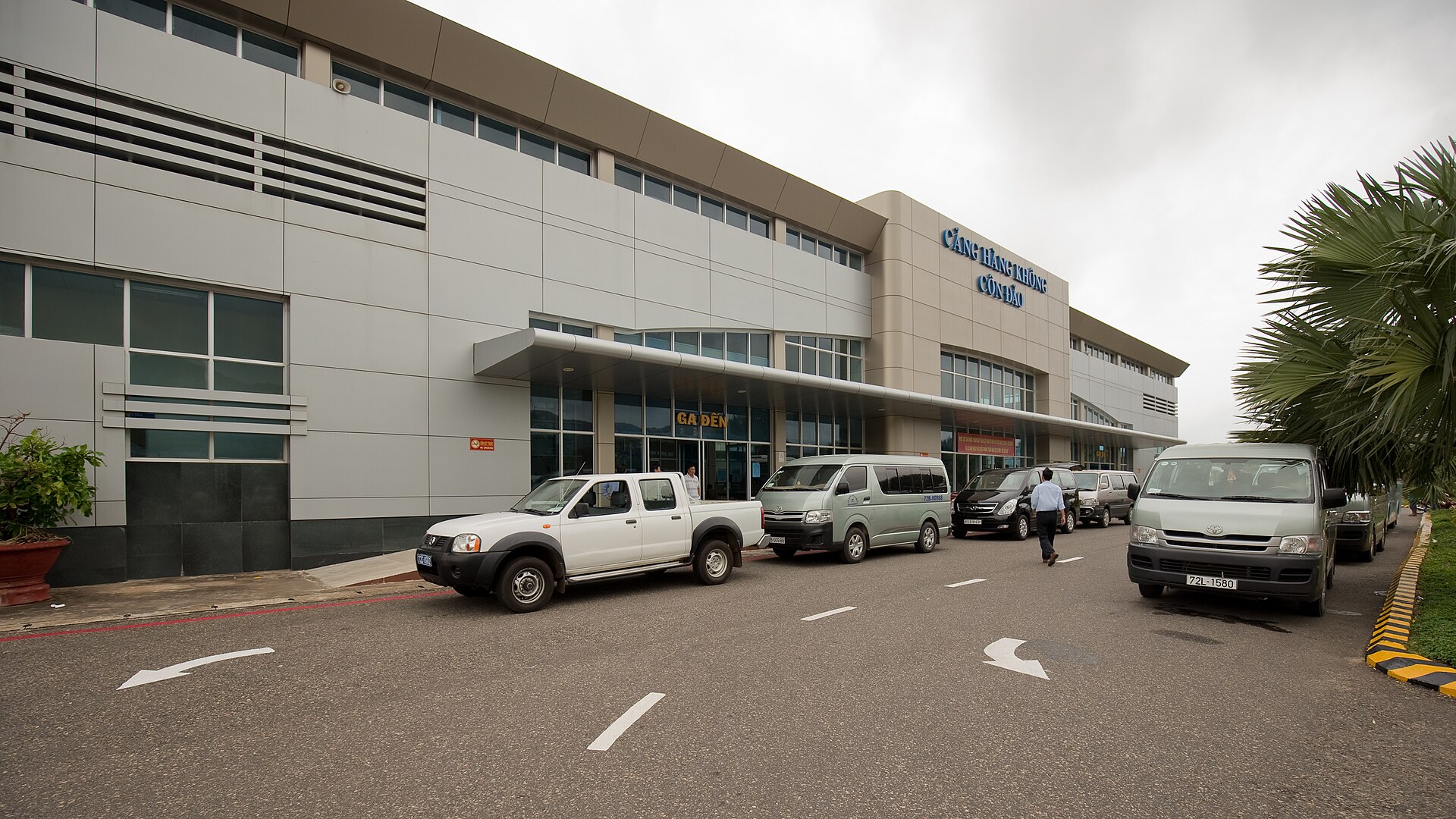
Reach the island by plane (Cỏ Ống airport on the north of the island, more than ten kilometres from the town) or by high-speed boat docking at Bến Đầm port. Boats do not run daily and stop in the rough-sea season: the Vũng Tàu route was suspended from Sep 2025 to 26 Feb 2026. Entering the National Park requires paying an entry fee. Turtle watching, forest walks or trips out to the islets are separate paid tours run by the Park; the Đầm Tre, Bảy Cạnh and Hòn Cau routes need a Park guide to accompany you and limit the number of visitors.
Before you go
The sea is calmest from about April to September, though that is also the rainy season and afternoon showers are common. The northeast monsoon season (gió chướng), from late autumn to the end of the dry season, brings big waves to Côn Sơn bay, and sea transport can be disrupted even in the calm season by storms. No source says the beaches have lifeguards, so do not swim far from shore. Do not feed the monkeys and keep your distance. Turtle watching must be registered with the Park, kept silent, with no flash, and no single-use plastic is allowed in the Park.
What this place is
An archipelago of 16 islands. The largest island is Côn Sơn, a granite mountain covered with evergreen broadleaf forest, bamboo forest and coastal mangroves, with Núi Thánh Giá as the highest peak. The National Park was established in 1993, covering both forest and sea; it is a Ramsar site, an ASEAN Heritage Park, and entered the IUCN Green List in 2025.
Busy and quiet times
Busiest in the pilgrimage season after the 10th of the first lunar month (weekends sell out of boat and plane tickets), in July when people come to pay respects at Hàng Dương cemetery, and in the summer of June–August. Ordinary weekdays are much quieter.
Photographs
20 of 20 on fileTuderna · CC BY 3.0 · source
Lam Tr Th · CC BY-SA 3.0 · source
Gurval Le Bouter · CC BY 2.0 · source
ChieuTimViet · CC BY 3.0 · source
Terminalwlyonline (Daniel Dao) · CC BY 4.0 · source
Tuderna · CC BY 3.0 · source
Ly Thien Hoang (Lee) · CC BY 2.0 · source
Tuderna · CC BY 3.0 · source
Ly Thien Hoang (Lee) · CC BY 2.0 · source
Dieter Hug · CC BY 3.0 · source
Tuderna · CC BY 3.0 · source
Shansov.net ([Tycho]) · CC BY-SA 3.0 · source
Paul Arps · CC BY 2.0 · source
Shansov.net ([Tycho]) · CC BY-SA 3.0 · source
Tuderna · CC BY 3.0 · source
Terminalwlyonline (Daniel Dao) · CC BY 4.0 · source
Lam Tr Th · CC BY-SA 3.0 · source
Tuderna · CC BY 3.0 · source
Lam Tr Th · CC BY-SA 3.0 · source
Tuderna · CC BY 3.0 · source
The story
Côn Đảo: from Côn Lôn to a national park
Côn Đảo is an archipelago of sixteen islands, and the largest is Côn Sơn. Granite ridges run from southwest to northeast and shelter the bays behind them. The highest peak is Núi Thánh Giá, followed by Núi Chúa. The islands lie about 185 km from Vũng Tàu and more than two hundred kilometres from Ho Chi Minh City, and you can reach them only by sea or by air. The first old layer you touch is the name. Before the 20th century, Vietnamese histories called the place Côn Lôn, from the Malay Pulau Kundur, which means 'Gourd Island' (hòn Bí). Europeans called it Poulo Condor. It became Côn Sơn in 1954 and Côn Đảo in 1977. Today it is the Côn Đảo special zone (đặc khu, a special administrative unit) of Ho Chi Minh City.
Vibe
Tags
Source
Facts about Côn Đảo were checked on 24 Sep 2026. The overview, the route to the island, the 'chướng' wind season (article of 8 Sep 2022), Bảy Cạnh lighthouse (9 Dec 2022), the monkey warnings (9 May 2023 and 4 May 2026) and the electric bus route (26 Dec 2025) come from the Côn Đảo Tourism Portal, run by the Public Service Centre of Côn Đảo special zone. The terrain, the forest and marine life, the 17 ecotourism routes, the turtle-viewing rules (notice of 18 Aug 2025) and the IUCN Green List title (article of 13 Oct 2025) come from the Côn Đảo National Park site. The calm-sea season, the swimming beaches and the sunrise at Mũi Tàu Bể come from the VnExpress guide; the busy season comes from VnExpress. The turtle nesting season and the share of green turtles come from Thanh Niên and Nhân Dân, checked against VietnamPlus. The seabird season comes from Đại Đoàn Kết (3 Aug 2025). The temperature threshold for coral bleaching comes from VietnamPlus (2024). Ferries stopping because of rough seas or storms come from Người Lao Động (19 Mar 2025), Tuổi Trẻ (31 Mar 2025 and 22 Jul 2025) and Đầu tư Tài chính (26 Feb 2026). The names Côn Lôn and Poulo Condor come from Vietnamese Wikipedia, and this is the only source. The map was built from OpenStreetMap and Wikidata. Photos come from Wikimedia Commons and Flickr under the Creative Commons licence shown under each photo. Rejected: the sentence 'March–September rarely sees rain' on the blog of a ferry operator, because it contradicts the special-zone source; the visitor count for Jul 2026, because it is a current-events statistic; the 2024 temporary diving ban, because it has expired; the tour price label 'medium to high', because the source gives no basis; and the figures on which sources disagree (distance to Hồ Chí Minh City, the area of Côn Sơn island, the average temperature), so these are written only as approximations. Đá Trắng lighthouse is not put on the map because it cannot be checked outside OSM.
Place data is compiled from many sources across the internet by a team of automated AI agents that collect, enrich, check, challenge, score, edit, review and verify it.
Ratings & comments
Anyone can read. Sign in to rate, comment and like.